Union troops robbed the home on their way north FROM the March to the Sea, not TO it. It was after his army had bypassed Charleston and went instead to Columbia (where ironically Charlestonians had moved their families, money, and household goods for safekeeping), on his way to North Carolina that small raiding parties pillaged the Uplands’ homes and businesses.
The things that wake me up in the middle of the night.
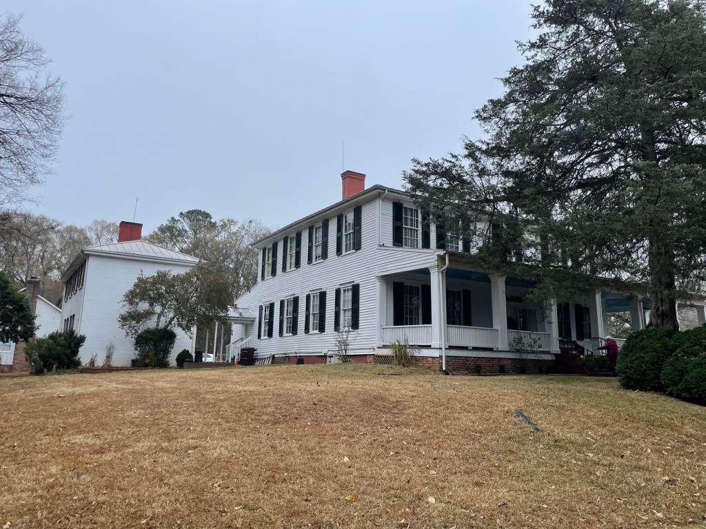
In Pendleton, South Carolina, two restored plantation homes are owned by a nonprofit organization tasked with researching, restoring, and educating the public about the area’s history through educational tours.
Educational tours, you say? Step aside, folks, step aside. I’m coming across that big veranda with its ceiling painted ‘haint’ blue to stop ghosts from crossing it and through those big double doors in 3-2-1.
We visited Ashtabula on a Thursday afternoon while everyone else was at school or work and had a wonderful tour guide all to ourselves. Following are some photos and snippets of its history. While the house has had many prominent owners, I found myself most interested in the original family.
Our guide told us about the research and restoration process (long, difficult, expensive), how and why the house was designed as it is, the different ways the house has been used over time, and about the many people who have called it home. She had a fun, dry sense of humor and didn’t fawn over the antebellum years, which we appreciated.
The family who built it, the Gibbes, were from Charleston, South Carolina, and brought the Lowcountry design ethos to the Uplands (the Northwestern-most part of SC) with them. Now why, you might ask, would someone from that cosmopolitan city want to move to the hinterlands? Well, first, Charleston in the summer was a humid, malaria-ridden nightmare. The higher elevation Uplands, along the edge of the Appalachian range, is cool in the summer and mosquito free. Second, a plantation needed a lot of land, and good cotton growing land was relatively cheap in the Uplands.
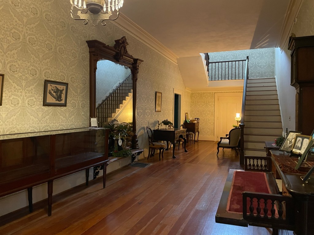
The main entrance and hallway
The first thing we noticed upon entering was that the house was cold — hats and coats and gloves cold. In fact, it felt colder in the house than outside it. That might be nice if it were summer, but in December it was a bit shocking.
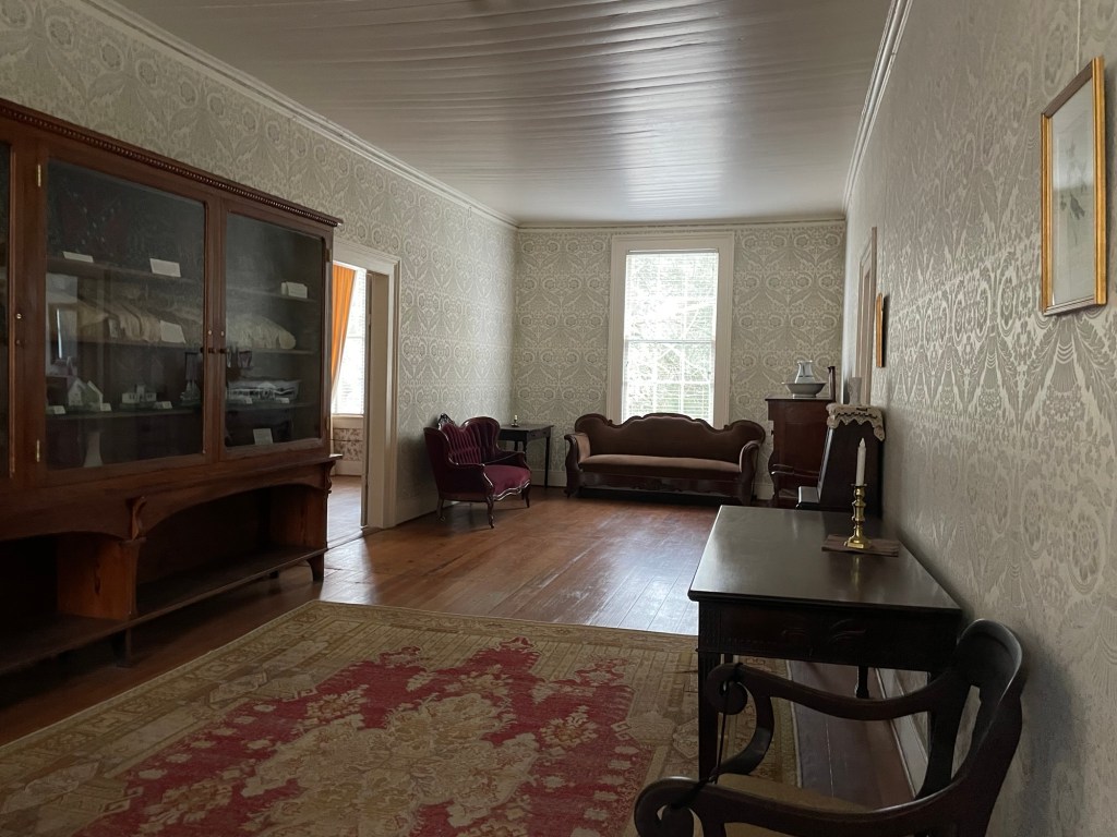
It was noted that the wallpapers throughout the main floor and the upper hallway are reproductions based on the patterns found attached to the original muslin during restoration. Back then things were made to last.
Since its construction in 1828, the house has never had central heating. Each room’s fireplace kept the worst of the winter chill at bay, as well as blankets and body heat. More on that later.
The second thing I noticed was that massive entrance hall mirror. To give you an idea of how wide and tall that mirror is, the ceilings were about 12 feet tall (just under 4 meters). I stood before it and felt truly minuscule.
Guests would be received here
Mrs Gibbes had the windows above built in the Charleston manner, meaning that the bottom half of these very tall windows raise up and the lower, wooden sections swing open to effectively make two additional doors onto the 14 foot wide, three-sided wraparound porch. When visitors came — on that home’s designated calling day, of course — they could flow in and out of this area, getting some fresh air, gossiping, flirting, and socializing with the lady of the house and the town’s ‘Quality’ at their leisure.
Unfortunately, Mrs Gibbes died just before the home was completed (1826) and never lived a day under its roof.
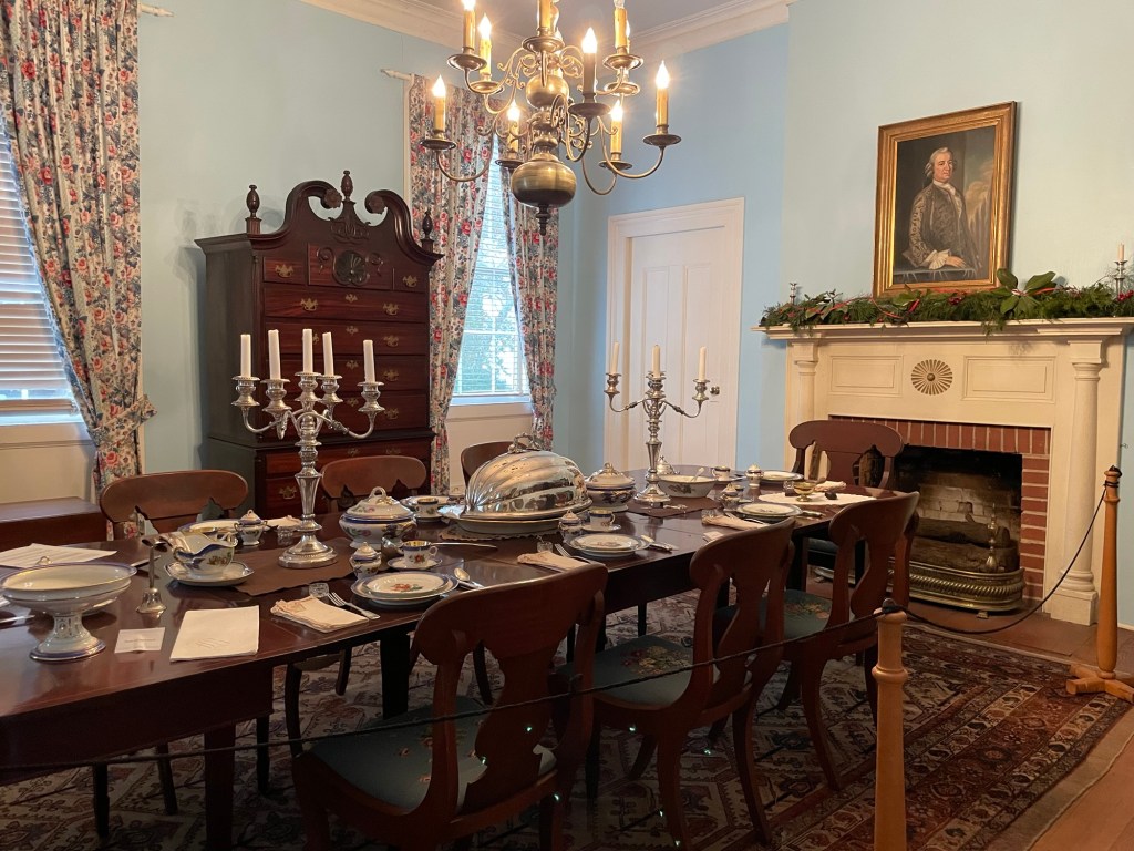
The dining room
The owner would be seated next to the fireplace in the dining room and his wife, or in this case eldest daughter or sister, would be seated at the opposite end nearest the window. While he was toasting his buns, she was shivering next to a drafty window. So much for chivalry. To help her and the other people dining combat the cold, a warming closet was built next to the fireplace where enslaved household staff would retrieve and distribute the blankets being kept toasty next to the chimney. The warming closet’s door is behind the white door to the left of the dining room’s fireplace (above).
When guests stayed over, the dining room acted as additional sleeping quarters. The table would be folded up as much as possible and pushed against a wall. Loose mattresses would be brought in to accommodate the overflow here and in rooms throughout the house.
(Side note: When Sherman’s soldiers were raiding the area during their march to the sea, the owner’s wife threw her silver flatware up into the top of the tall cabinet, very effectively hiding it out of sight.)
Pictured below is the family room, which is behind the dining room. The warming closet is to the right of the fireplace in this room. It’s the only warming closet in the entire home.
The family room
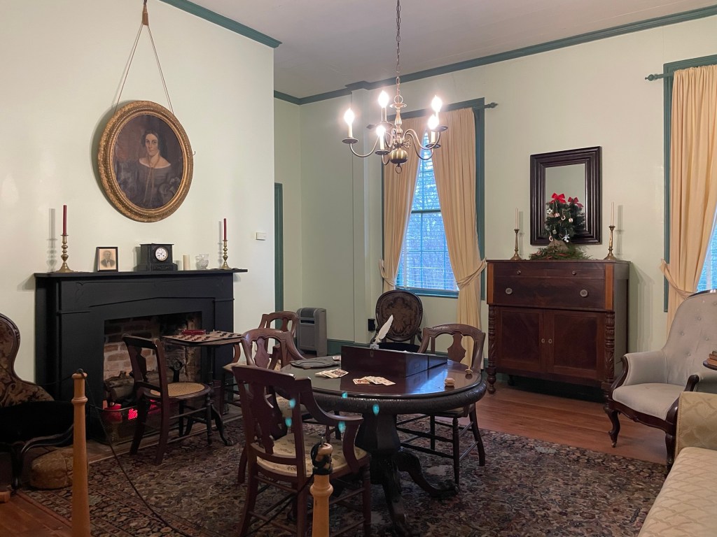
The family room had a few functions, but its primary one was for the immediate family to socialize, read, pray, and play games together when no visitors were present. Children ate all their meals in the family room, even when visitors weren’t present, because parents and children did not eat together, which makes me rather sad.
After dinner, men would gather in the room to smoke and drink before joining the women who had retired to the parlor.
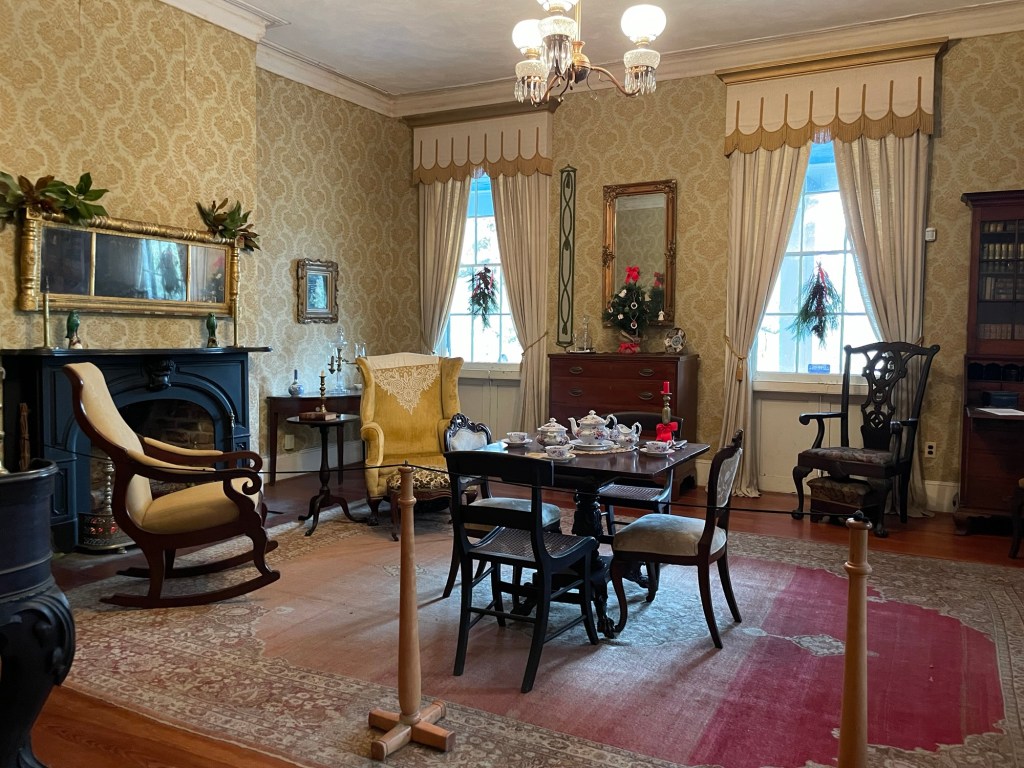
The parlor
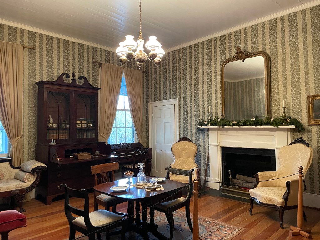
Here the guests would gather for music, cards, a glass of sherry, and to talk politics. The larger chair to the right is a gentleman’s chair and the smaller one on the left is a lady’s chair. The lower armrests encouraged good posture while seated (no slouching!) and allowed a woman’s voluminous skirts to flow around her. The piano was an important part of this room’s decor and purpose.
The upper hallway
This wallpaper design bounces sunlight so well.
The unmarried ladies’ bedroom
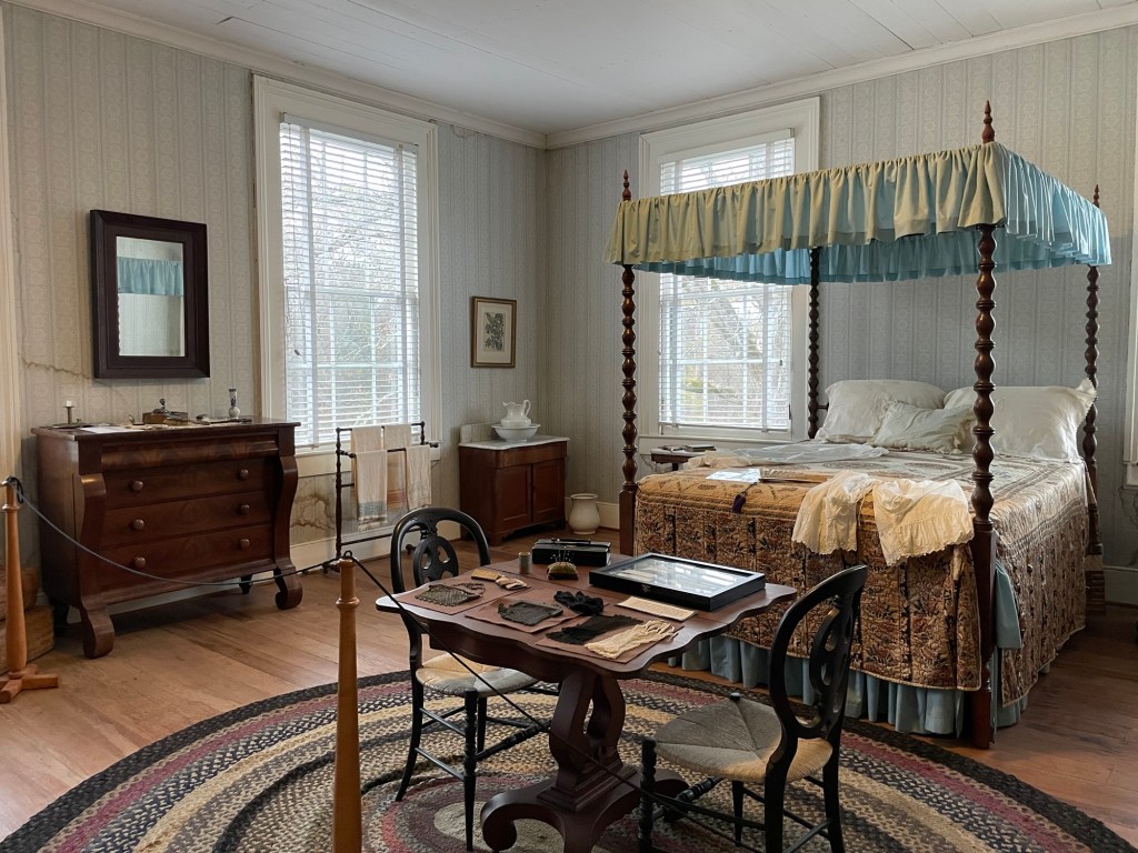
Unmarried ladies would retire together to this room, sleeping three or four to a bed as needed. Few people had the luxury of a bed to themselves in a busy house. When large numbers of guests were present, loose mattresses would be placed in here as well, thereby protecting each young lady’s honor throughout the night as well as harnessing their body heat to keep each other warm.
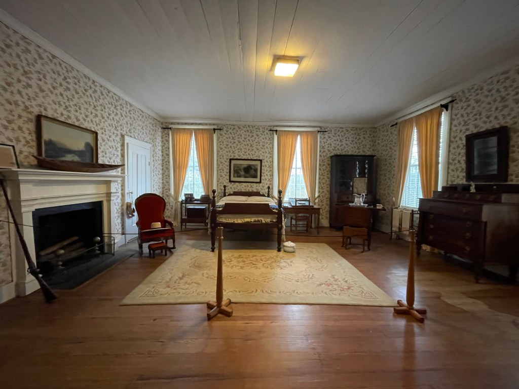
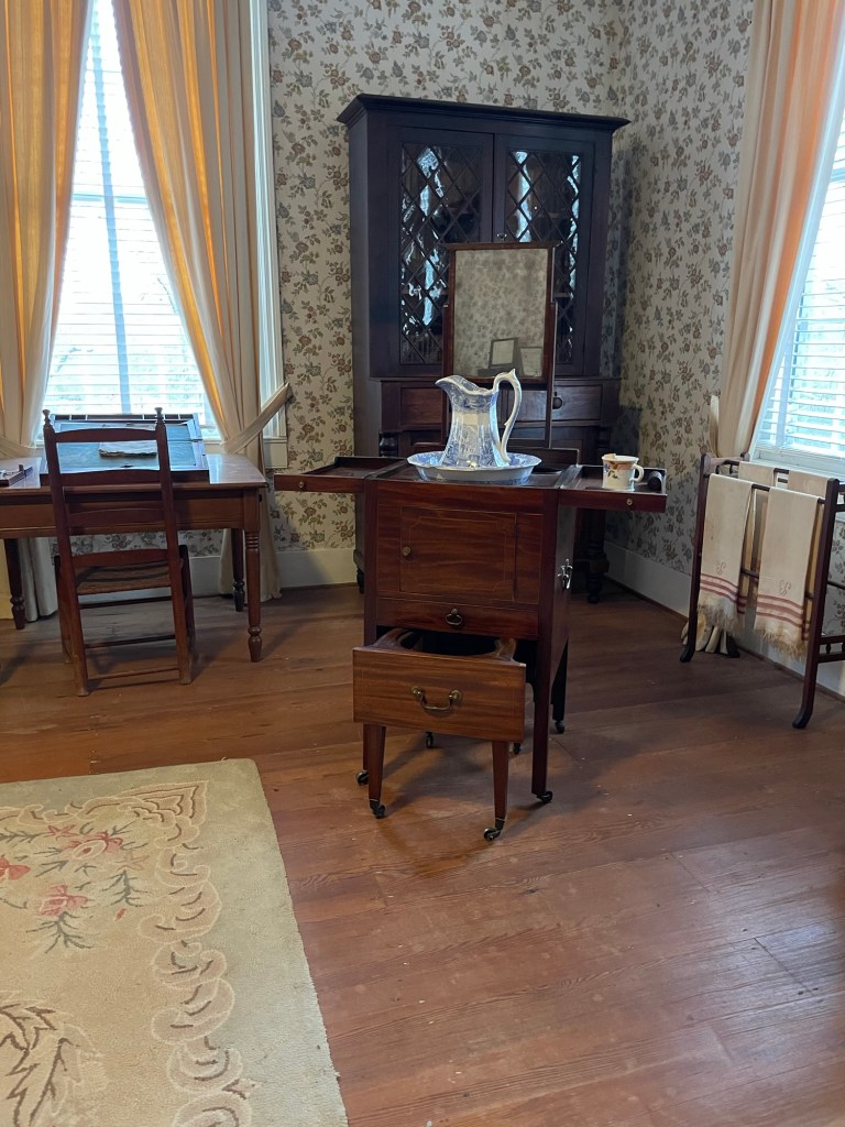
The Master’s bedroomCloseup of a mobile campaign chest
The master of the house had the biggest room. No shocker there. Closets on casters would be moved from home to home, like other pieces of furniture. A mobile writing desk like the one on the table here would have traveled with the owner wherever he went, carrying business papers, letters of introduction, and personal correspondence.
In this home, a wonderful old (military) campaign chest is on display. This type of box on wheels was used on both sides of a conflict and is a marvel of drawers and boxes, custom fitted for a chamber pot (lower pull out), wash basin and jug (middle door), shaving kit and dressing accouterments (top shelves) and mirror (drops into place at the back). It would have been carried by the owner’s personal servant from one military camp to the next.
Mr Gibbes, unfortunately, didn’t get much use out of this room as he died shortly after his wife (1828), but after the house was built, leaving his barely-an-adult oldest son and brood of younger children to try to carve a life out of the plantation on their own. At first an uncle came to help manage things, but the children ended up selling off land and several enslaved laborers to help pay the family’s debts and ongoing expenses, before selling the home and remaining land in 1837.
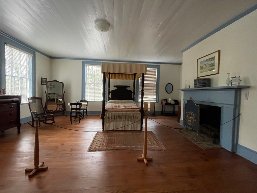
The lady’s bedroom
The wife of the a plantationnowner didn’t usually share a bedroom with her husband. In her room, she had her own space. For the most part. When guests stayed over, she was expected to share her bed and floor with other the married women.
Only as a very last resort, however, could the master of the house ever be expected to have other men (married and unmarried) camped out on loose mattresses on his floor. First, they would be accommodated in the downstairs rooms, then in some of the outbuildings or possibly in tents on the property if the weather allowed.
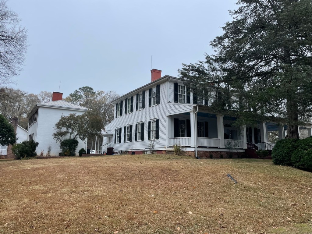
Rear of the house
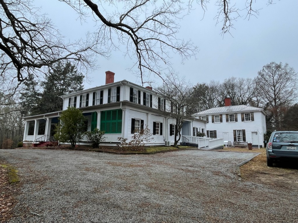
The porch originally wrapped around the front and both sides of the house. But mid-last century, the house was split up into apartments and one side of the porch was enclosed as an office for a local doctor. The enclosure remains and is used as the volunteers’ break room. (It even has a small heater in it!)
The old oak
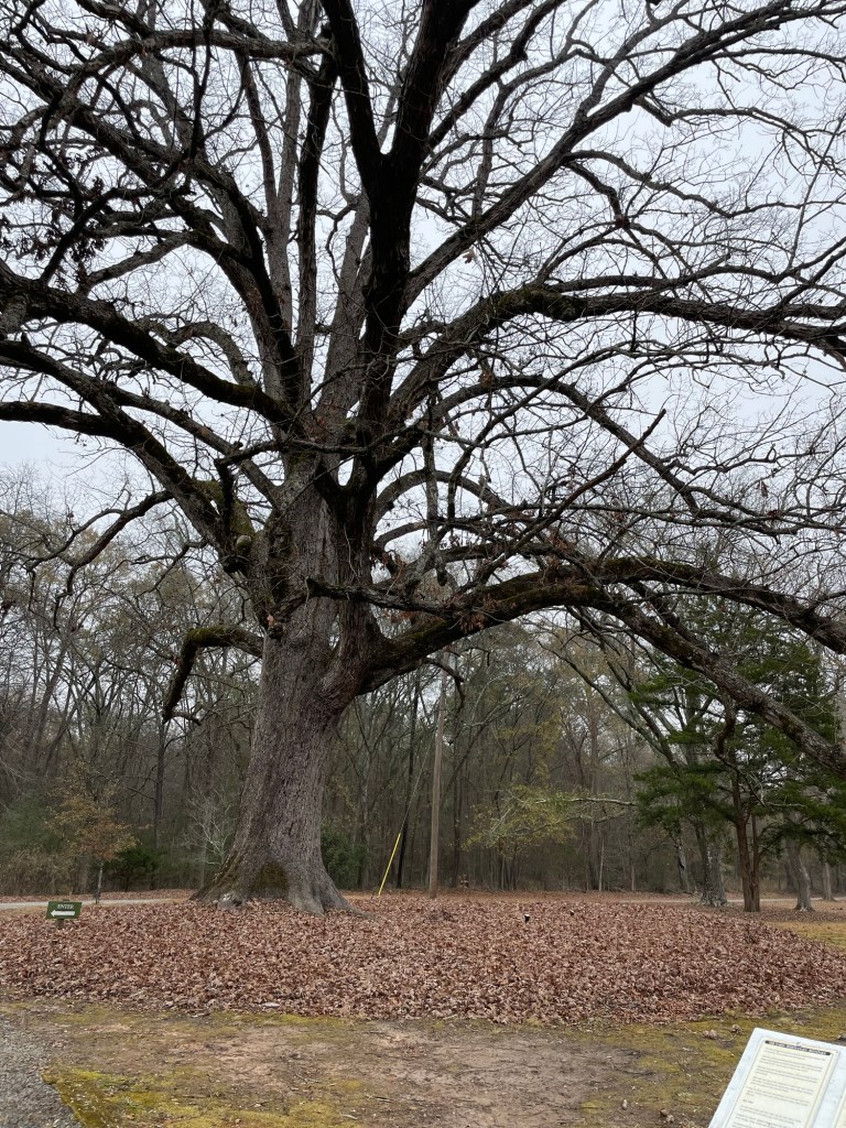
This tree was already called the old oak when the house was being built. It’s estimated to be the same age as the USA itself. Sadly, it’s no longer very healthy. An arborist is doing what he can, but its days are probably numbered.
The right front side and enclosure
Our guide said that former tenants will occasionally tour the house and talk about what it was like to live there and how the house was configured at that time. Can you imagine calling this place home as a 20-something just starting out in the world?
The lodging house
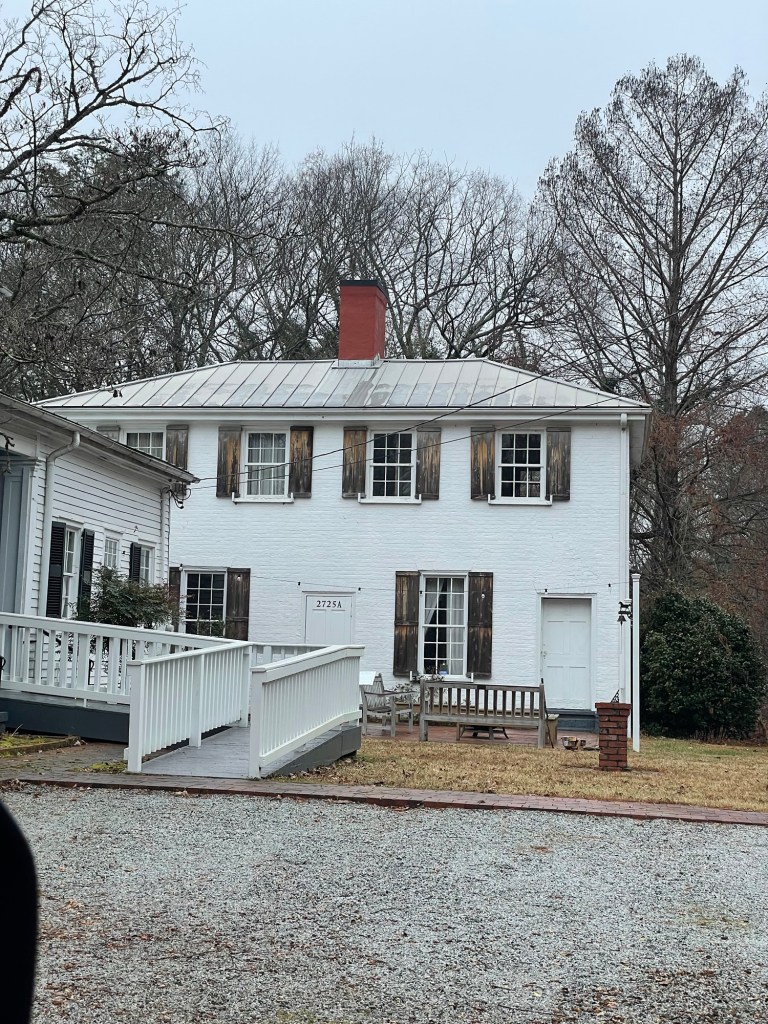
Although Ashtabula is one of the older homes in the area, the building you see behind it was built in 1790 as a tavern and coaching inn. Since the road out front is the old Greenville highway, this large rectangular building was no doubt a welcome sight after a long day on dirty roads.
The ground floor is divided into two sections, on either side of a fireplace wall. The right hand section acted as the entrance and dining area, and led to a bathing area in a small hut off the rear of the house. The left side area was the kitchen and had the ladder to the sleeping area on the upper floor.
The Gibbes lived in here while Ashtabula was being built.
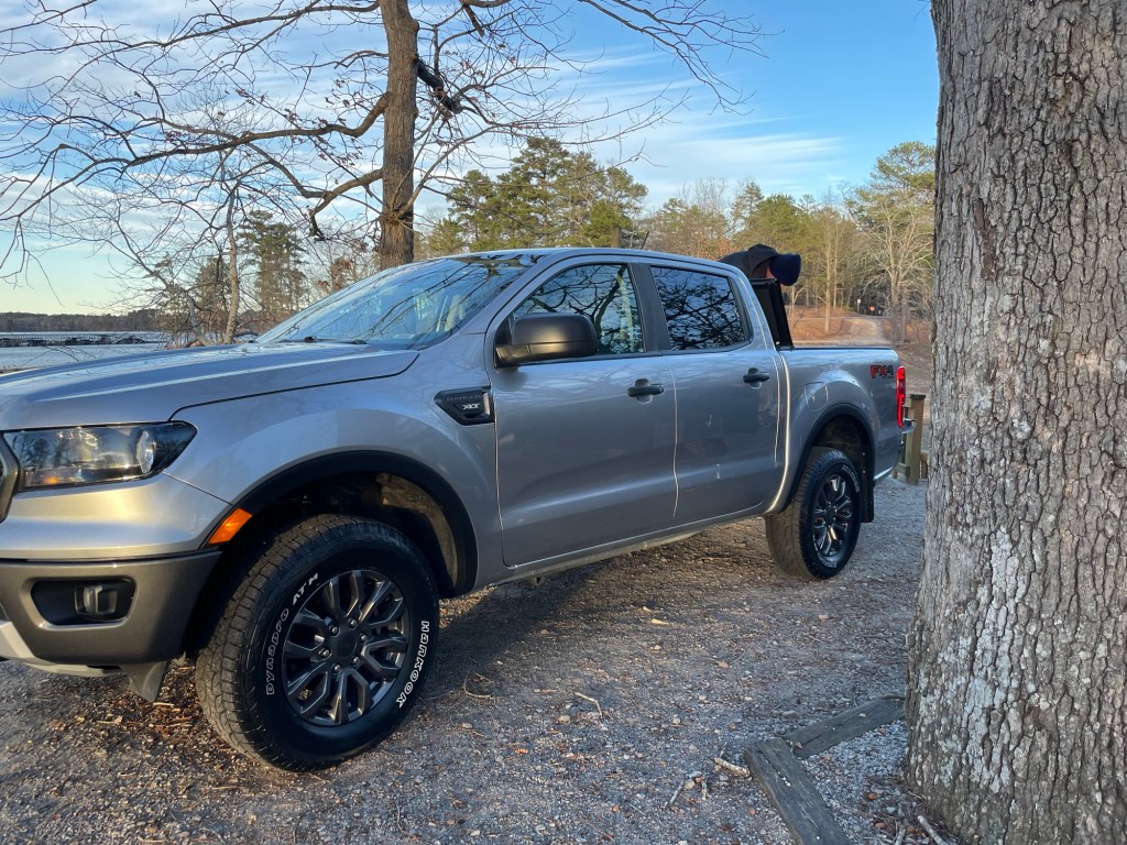
First things, first. The truck is repaired. We picked it up Monday late afternoon, packed everything back inside it, and drove out of the campground with happy hearts first thing Tuesday morning. We didn’t quite make it across the Georgia border, but we’re close. Georgia is a rather long state.
The title is a line from the song In the Aeroplane Over the Sea by Neutral Milk Hotel, and it’s my last reference to a band from Athens, Georgia, I swear. It just fit so well. What a curious life we have found here, indeed.
Happy New Year! I hope 2026 brings all of you much happiness and no auto accidents.
Merry Christmas to all who celebrate it. We spent the lead up to the Winter Solstice re-watching the Harry Potter series, like we do every year, like we did every year when Ian lived at home, and like the three of us did separately after he moved away. I still enjoy the movies and the books. I know there’s controversy. I know there are opinions. For us, we’re not taking any sides; it’s fun and tradition and we bought them all ages ago.
We’ve also been re-watching our annual lineup of unrelated Christmas movies. Last night was Elf. Christmas Day is reserved for A Christmas Story, we’ll watch that tonight. “Wow, that’s great!” One thing I’ve longed for today is a bar of Banket, that quintessentially West Michigan Dutch dessert of sugar-infused almond paste covered by several overlapping layers of flaky, butter-loaded pastry shaped into a long tube. The ultimate Yule log, in my book.
Just to keep everyone up to date, we are still, yes still, at the same campground because one of the three parts needed to repair the truck’s alignment was delayed in shipping. It will hopefully be here on Monday. Then we could, and hopefully we will, be out of here by New Year’s Eve. Fingers crossed everyone. Fingers. Crossed.
On a delightful twist, the weather yesterday turned perfect. Blue skies with just a touch of clouds, warm breezes, and sitting right at 75º Fahrenheit. It’s the same today and looks like tomorrow will be too. As such, and since everything is closed for the holiday anyways, we’re enjoying some camp chair time in the sun. We’re reading, relaxing, and now and then watching the locals cruise the campground in their golf carts. Apparently this the local excitement (and clearly everyone knows the gate code). We picked up a couple of steaks for our fancy holiday dinner. They’re marinading as I type this.
Two weekends back when the overnight temps drop to 20º, we headed to Athens, GA for two nights to check out the University of Georgia campus and see the musical home of a few of our favorite alternative bands from our own Uni days. The B-52’s (previous post) were one band, but the big draw for me was knowing that R.E.M. started in the town as well. (Eventually I will learn to play the mandolin part of Losing My Religion, but it’s going to take a while.) Classes weren’t in session the weekend we were there, so all the students were gone and a few things were closed, but we also enjoyed the chance to roam around without dodging a pile of exam stressed co-eds. We always got a seat at what is now our restaurant there too, The Globe. Great food, interesting drinks, and pleasant staff.
If you ever go, “Give them my name at the door, and they will attend to you.” If you get the reference, we’re probably friends.
One of the first things we saw on campus was this great ‘pointer tree’. Do you see how two branches were trained at a very early stage into right angles? We learned from a very helpful docent at The Cherokee Museum of South Carolina that the Cherokee used to do this as a way-finding measure. Trails would have pointer trees to help them find their way through the forests on important routes. Now that we know to look for them, we see them more often than we would have expected to. The fact that this pointer tree stands there, in the main square of the oldest state-chartered land-grant school in the nation (1785), is a good reminder of a good many things.
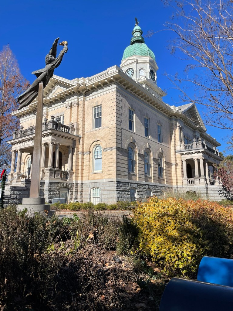
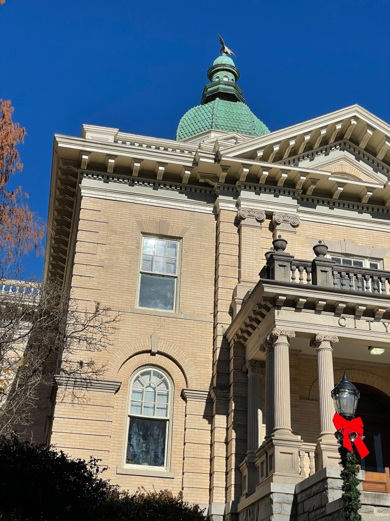
City Hall in Athens is a classically pretty building. I especially like the patina of the dome’s copper roof.
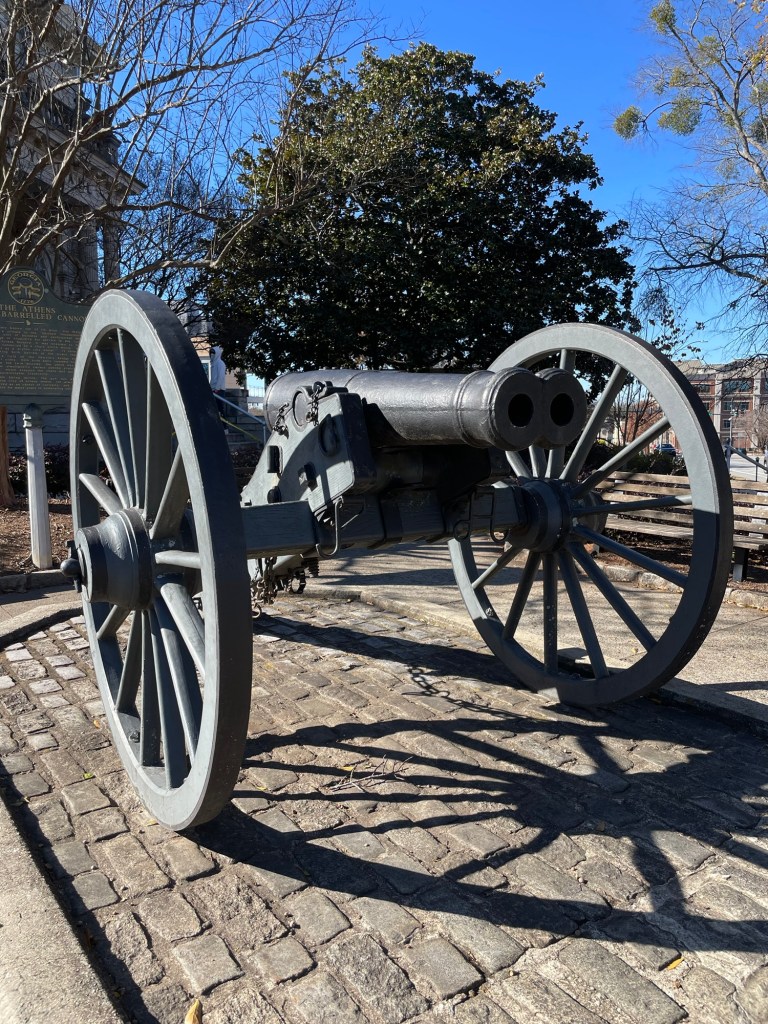
A fun fact about this double barreled cannon is that it’s the only one known to still be in existence. It was a prototype designed to shoot two cannonballs connected, by a chain, into a regiment of oncoming soldiers, “to mow them down like a scythe through wheat.” That did not happen. Unable to find a way to light both charges simultaneously, its only contribution to the Civil War was to become an addition in the Nope Files and a quick lesson in how wildly cannonballs can fly. As safe as loosing two cats tied together at the tail into a wading pool full of toddlers.
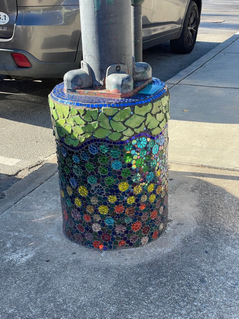
Athens has a few interesting art-related bits around town. I especially liked the mosaic light pole foundations I saw near the music hall of fame sidewalk inserts, along the music venue corridor. There must be over two dozen places to listen to live music, right near campus alone. No wonder it’s a kind of musician incubator.
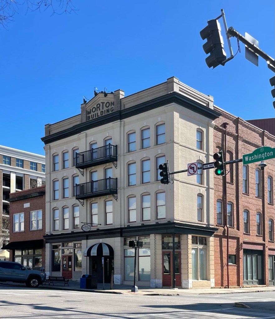
A lot of the town has the mid- to late-1800s brick and stone architecture that we’ve been seeing. I liked this one because it immediately brought to mind Morton’s Salt. I don’t know why that made me smile, but it did, so here you go. When it rains, it pours.
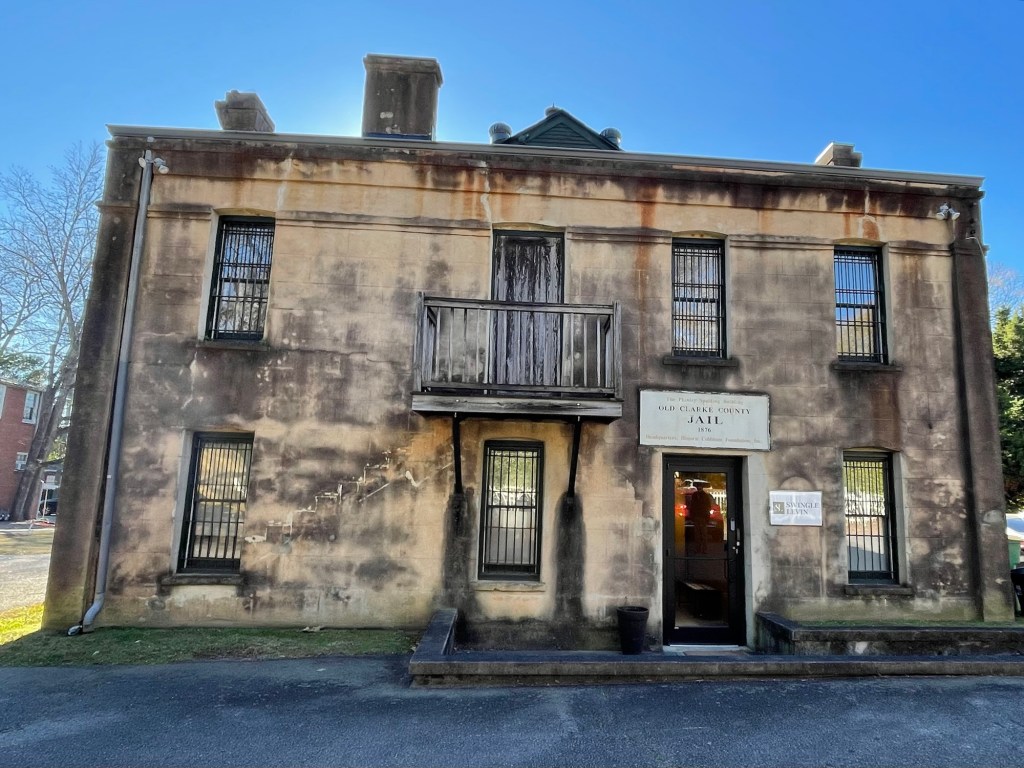
We found the Old Jail, of course, when we walked to tour a local mansion, only to find that the mansion was closed and we needed to make a reservation to tour it in the off-season. Oh well, live and learn. We didn’t have time to do that, so we just roamed around and looked at a few more historic buildings.
Dear parents of U of G students, this is the school-provided home for the University’s president. Remember that the next time you wonder how tuition has gotten so high? Also, I clearly miscalculated when choosing careers. That upper porch? Those verandas? I can almost taste the sweet tea and hot, buttered biscuits. Summer heat would have no power against that architecture.
I’m a sucker for an old cemetery, and this is the oldest one in Athens, but it was closed. Locked behind a chained gate. Alas.
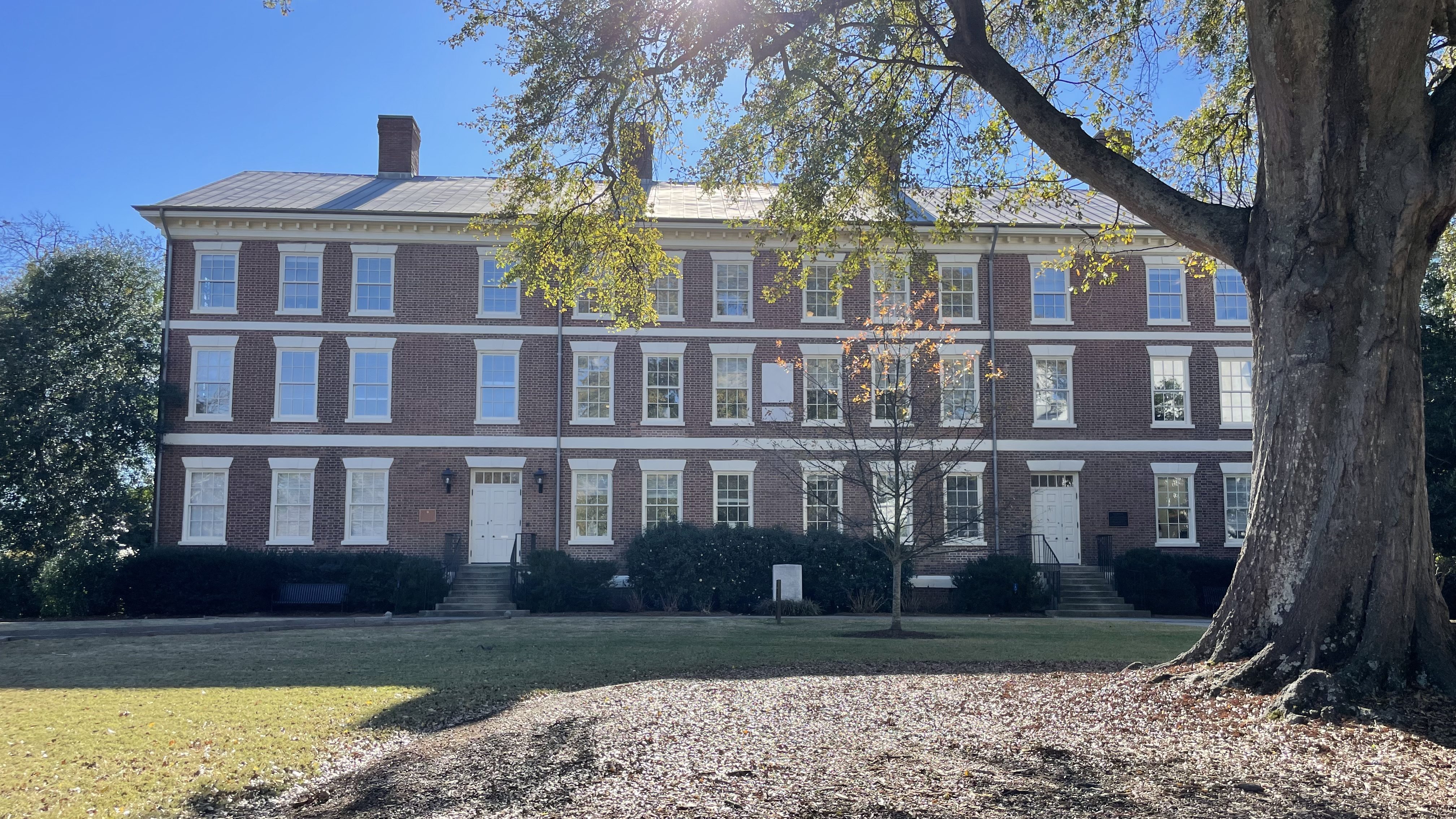
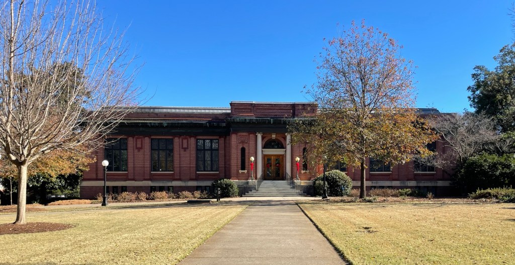
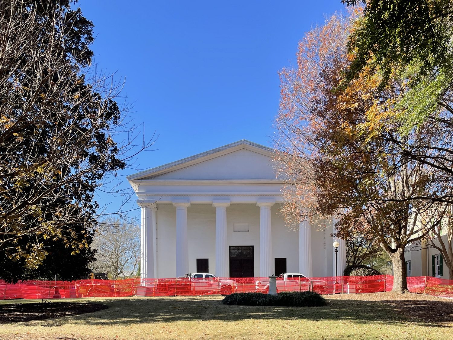
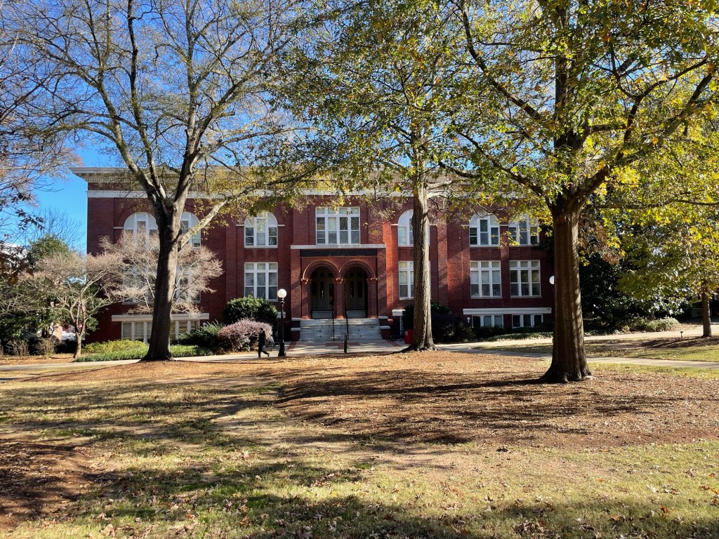
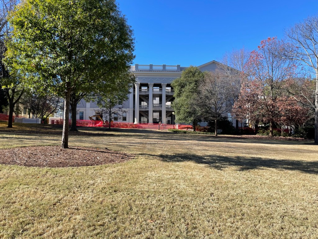
Following are a few of the U of G buildings on the square. Pretty, pretty, pretty.
The original college building from 1806
It’s a very pretty campus, and I can only imagine how good it must SMELL when the blooms are in full swing and the weather starts to get sultry. There are so many flowering trees and bushes and what seems like acres and acres of flower beds.
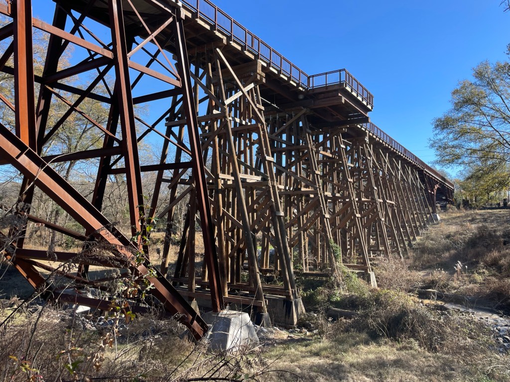
OK, now back to R.E.M. The back of the Murmurs LP cover shows a partial bridge, long dilapidated, and hence forth referred to as the Murmurs bridge. It’s since been reconnected (see below) to the opposite side of the creek as part of the multi-use Firefly Trail. Eventually, the trail will be thirty-some odd miles long. On our way to see it, being the fans that we are, I noticed that we were passing Weaver D’s restaurant where the owner reportedly has always responded, “Automatic,” to people when they place their orders. That little quirk became the reason for the band’s Automatic for the People LP title. I think it’s fair to say that R.E.M.’s affection for Athens, Georgia ran deep.
On our way out of town, we stopped by the Botanical Gardens of Georgia, south of Athens, since the weather was growing warmer and we always enjoy a trip through a botanical garden, even when the plants are slumbering.
The conservatory was decorated for the holidays and the Garden itself was full of whimsy. A good trip, all around.
As we sat enjoying the sunshine today, we noticed how point specific wind can be. Fifty yards across the inlet from us, a tree’s dead leaves were rattling away in the wind while the tree right next to us, in a similar state of dead leaf coverage was barely moving. We tend to think of wind as a single thing, a kind of giant box fan that blows across everything and everywhere at the same time, but being outside a lot has made us much more aware of the nuances of nature.
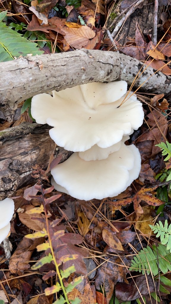
The weather hasn’t been too friendly here in east central Georgia these four weeks, but occasionally it’s been pleasant and we’ve tried to take advantage of those days. A few beautiful mushrooms have crossed our paths, although I think this one is my favorite. It looks almost silky, doesn’t it? Still not eating it.
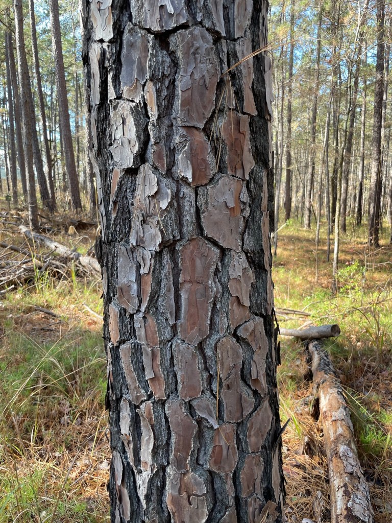
The almost squared off bark tiles of the Pinus echinata (Shortleaf Pine) at Mistletoe State Park captured my fancy. I saw one today too, right at the campsite. Talk about situational blindness. The trees themselves are very tall, but the branches don’t start until quite far up the trunk. It creates a canopy not unlike a series of umbrellas, allowing you to see deep into the forest, despite so many tree trunks all around. They do indeed let you see the forest for the trees.
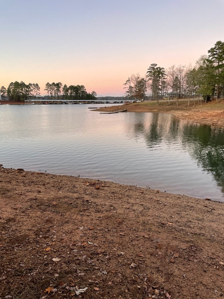
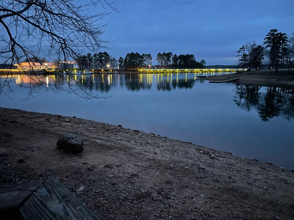
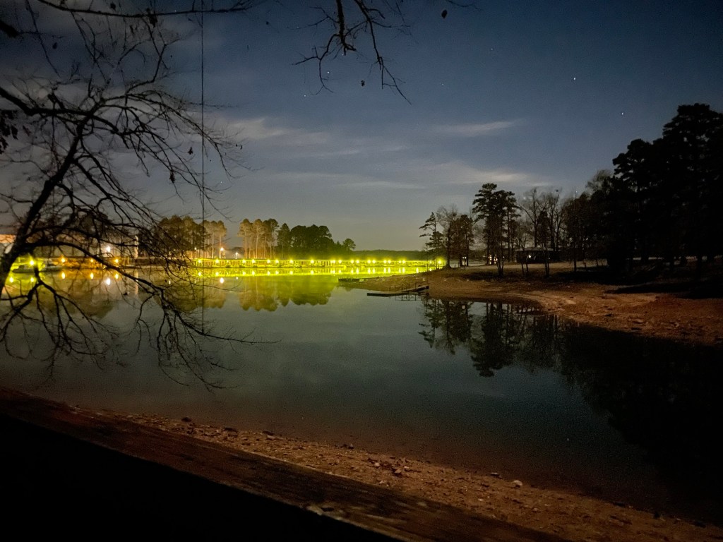
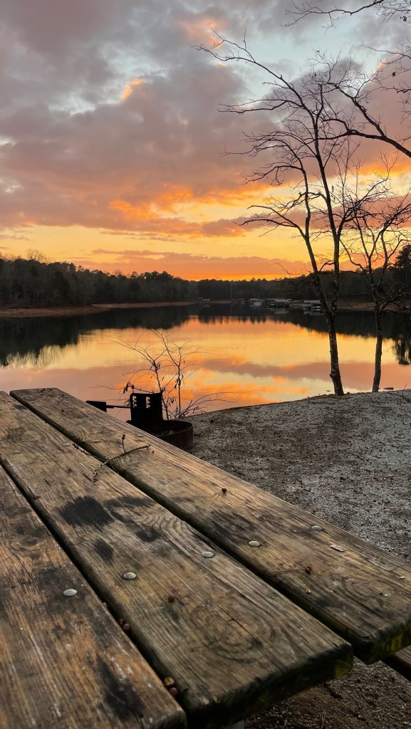
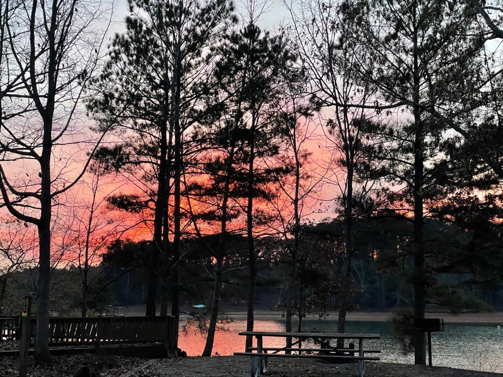
The most ongoing natural beauty, however, has been from our campsite. The sunrises and sunsets are beautiful on a nearly daily basis, but the lights from the boat shelters are my favorite sight as they cast their shimmering green reflections onto the water as dusk drops into night and dawn breaks into day.
Right here, it reminds me of Nick Carraway reminiscing, “So we beat on, boats against the current, borne back ceaselessly into the past.” Gatsby would have had a hard time picking out Daisy’s dock from this line up.
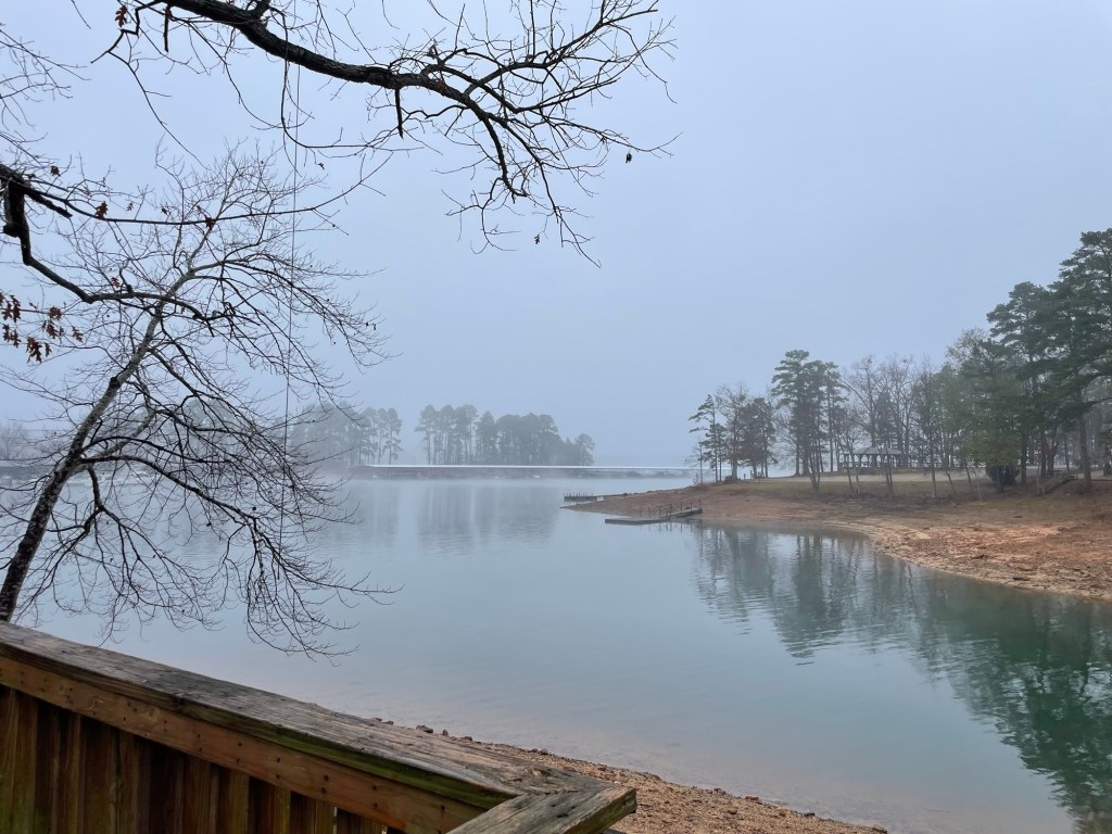
In the fog
Below is the other side of our peninsula. Georgia takes sunsets seriously.
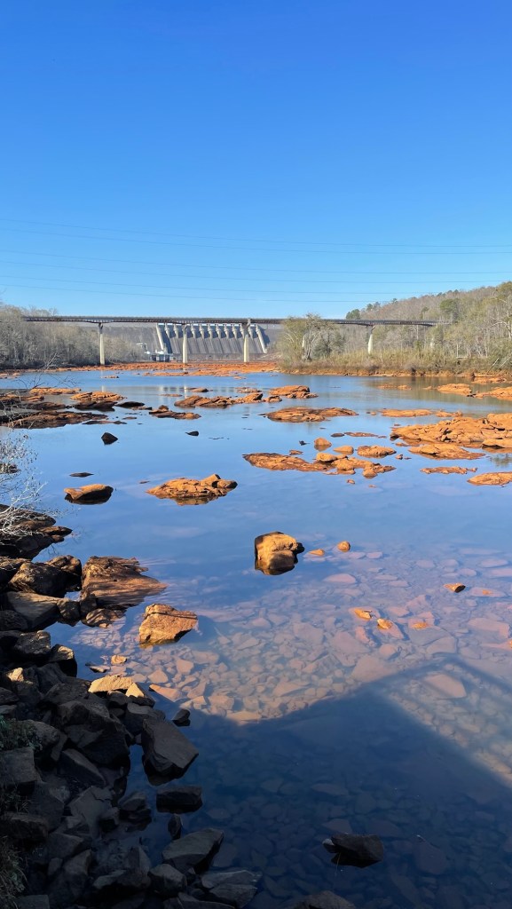
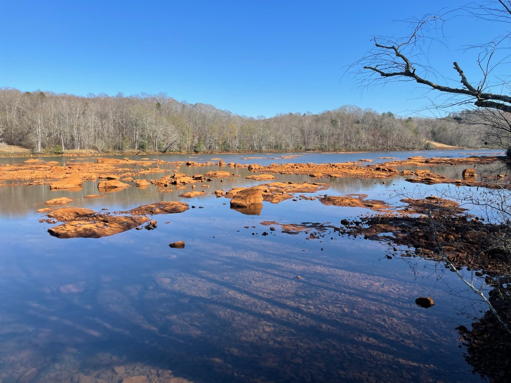
We’ve passed by the dam, below, on many of our drives between Georgia and South Carolina. It’s holding back that big wild oak leaf that is Lake Hartwell. The dam itself is rather uninteresting, seen one and you’ve seen them all, but the downstream area has striking red rocks peaking out of the crystal waters of the Savannah River.
If you’ve ever hear about the red clay of eastern Georgia (and western South Carolina), know that they weren’t exaggerating. It is red red deep brick red in color. And next to green grass, it feels like a Christmas display available year round. Every construction site churns up the brightest red clay we’ve ever seen.
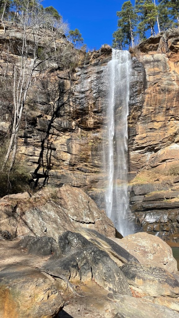
Ever heard of Tallulah Falls? No? Neither had we. It’s a small religious college with a waterfall at the back of it.
For $2 you can take a 3 minute stroll to stand at the base of it. It was pretty and quiet and we had it all to ourselves. Four bucks well spent.
We were saddened to read the plaque there about the flood of 1977 which wiped out a large part of the campus, killing over 20 people and injuring nearly 70. The dam behind this waterfall had failed. You exit through the gift shop. Yes, seriously.
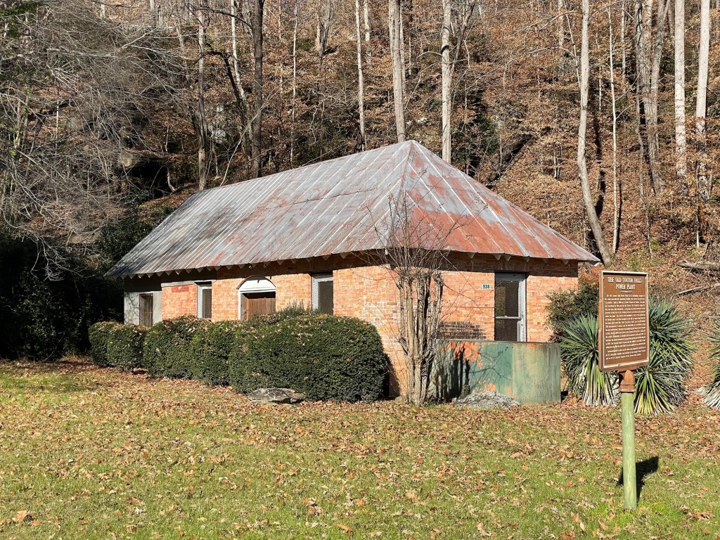
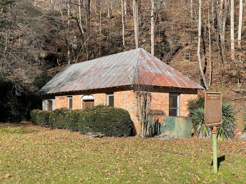
This ancient hydroelectric power station used to power the campus, but has since been decommissioned. If you risk the venomous cottonmouth snakes, like I did, you can still see some of the old machinery inside.
If not, like Jeff, you can enjoy its old tin roof. Ever wonder why Cindy Wilson of the B-52’s, ends that old bar favorite, Love Shack, with the phrase, ‘Tinnnnn roof. Rusted.’ ? Having been in the backyard of Athens for some time now (Go Bulldogs!), we can easily see why. Tin roofs are ev.ery.where down here. New and old, big and small, they are and appear to always been the default roofing option. You can almost age a building by the amount of rust on its roof.
Oh, Phil Connors, it’s like you’re right here with us. It isn’t Groundhog’s Day, but it sure feels like it.
Today we were mere minutes from arriving at the repair shop to pick up the truck when they realized there is a problem, a good-sized problem, with the front end. They can’t get the front wheel to line up because there appears to be “a bend in something, somewhere.” They’re going to tear the drivetrain apart to figure out what’s going on.
Tomorrow marks the four week point of the truck getting smashed into. The repair shop hopes to get the truck back to us before Christmas — Monday at the earliest, but probably more like Tuesday or Wednesday. Not feeling too festive down here at the moment.
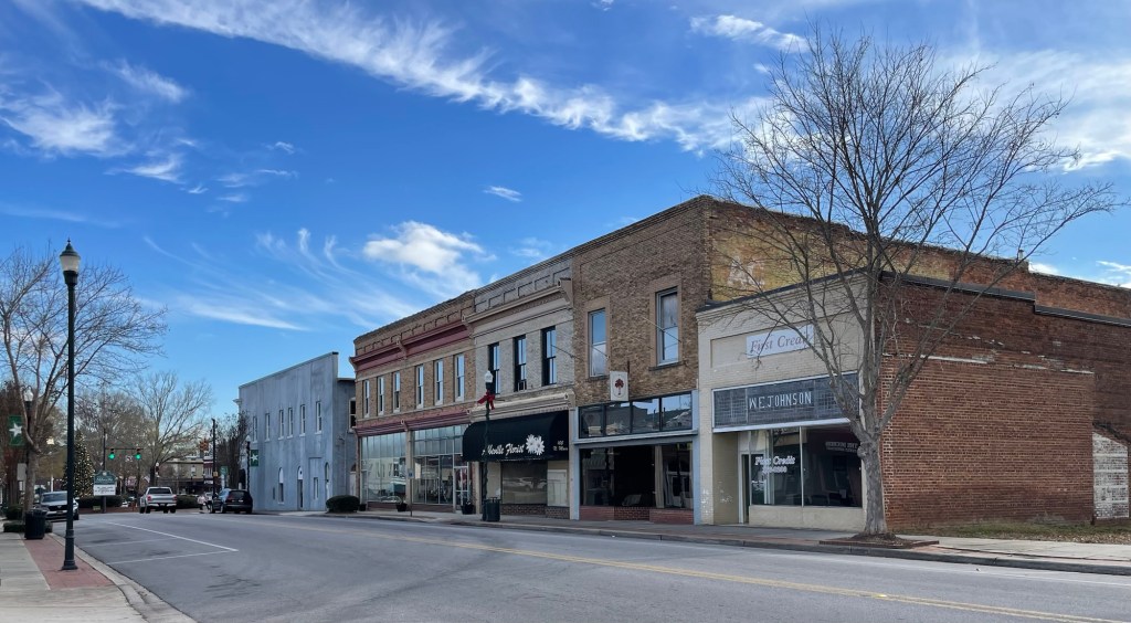
We enjoy walking around the traditional business districts in the rural areas that we’ve been visiting. Happily there are frequently clear signs that efforts were or are being made to salvage the more architecturally and historically interesting buildings. Unfortunately, I haven’t been taking too many photos the last couple weeks, being a bit down after the truck’s accident, so bear with me.
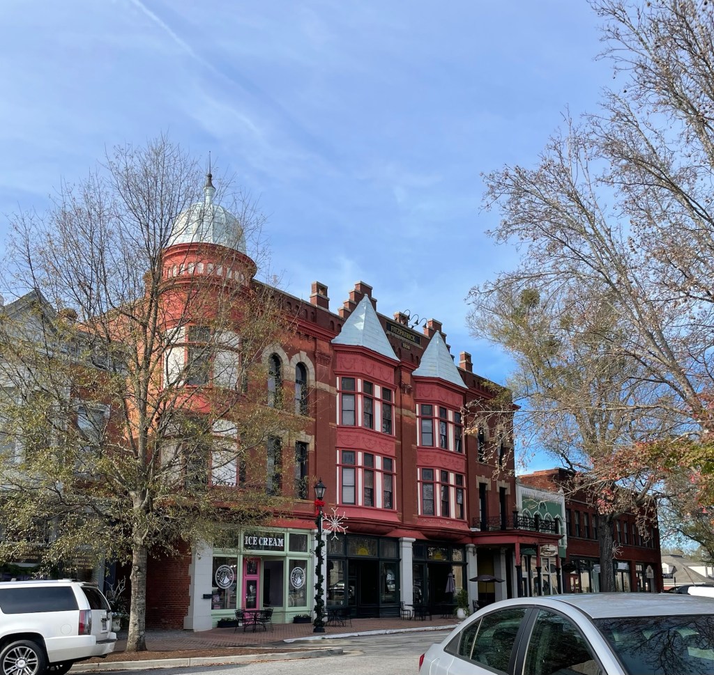
A turreted former bank — Washington, Georgia
One inevitable sight is a former bank building, like above, often found on one of the corners. There are also the deep merchandising windows of early department, general and hardware stores. And strangely enough, the frontier jail site (usually long since moldered into dust) is likely to still noted somewhere around the town. The buildings square are almost exclusively made of brick.
While walking around, we’ll inevitably see a brass plaque commemorating the great fire (or fires) that ripped though the village and destroyed much (if not all) of the original wood-fronted businesses. Since eastern Georgia and western South Carolina, the area we’re in now, was colonized well before the American Revolution, those towns (full of fireplaces, blacksmith shops, open cooking hearths, and the like) inevitably had at least one massive conflagration in their several hundred years of existence.
Among the retail buildings, flat fronts with large plate glass windows and wrought iron or carved wooden window/door frames are common at ground level, with varying degrees of stone and brick window ornamentation on the upper floors. Upper floors were frequently added on as time and profits allowed. Bay windows on upper floors and false rooflines are commonly seen, with each little detail adding another delicious bit of visual interest. I’m especially found of the fact that these older buildings have a bit of individuality, even among various “types,” versus the homogeneous nature of modern business architecture. We’ve noticed that during the 1930s, builders still seemed to be adding decorative details to windows, door frames, and the cornices of commercial and residential buildings.
Although some buildings, like the livery stable below, served the most basic (and dirty) of a town’s needs, builders still seemed to understand that the eye deserves a bit of beauty.
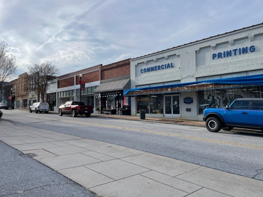
Around 1940, the level of ornamentation dropped significantly, and by the 1950s and 1960s, buildings were becoming plain and utilitarian at best (see the two on the right hand side, below). John Calvin would have been so proud. But wait, pride is a sin. (Bit of a catch-22 there). Don’t even get me started on the “renovations” that happened to some of the more elaborate buildings during the 60s and 70s. It was like taking a razor blade to Venus or Aphrodite.
Abbeville, South Carolina
What’s most noticeable about these little business districts, however, is how many of the buildings are now sitting empty. I’d estimate that about 30-50% of the store fronts we come across are empty. In the six above, for example, only one building is occupied. Some have active for sale or for rent signs. Some signs are so old they can barely be read anymore. Some businesses were clearly abandoned mid-renovation quite a while ago, if the thick layer of dust on saw horses and tools are any indicator.
How does a town come back from this? Must we really accept the Dollar General, Amazon, and WalMart -ification of America? What will become of our small towns and rural hamlets? Can they keep more than a Mexican restaurant (almost always excellent), a musty antique/junk store, a hair salon or barbershop, and a liquor store with bars on its windows, in business again? I dearly hope so, but I have my fears. It’s a bit circular, isn’t it?
People frequently claim they want unique products, locally grown fresh foods, and a thriving local shopping district, but they shop at big box stores or one of the online behemoths for a smaller price or one stop convenience. Small stores go out of business and the village center becomes a ghost town. Heads shake. “Someone should do something,” is said. A brave entrepreneur goes out on a limb and carries unique items or local perishables. They charge a bit more to cover their costs and can’t carry everything imaginable. Shoppers go back to the big names. The village core erodes.
Abbeville
Don’t get me wrong, I see some encouraging things, too. Local chambers of commerce are trying so hard to keep a sense of community alive.
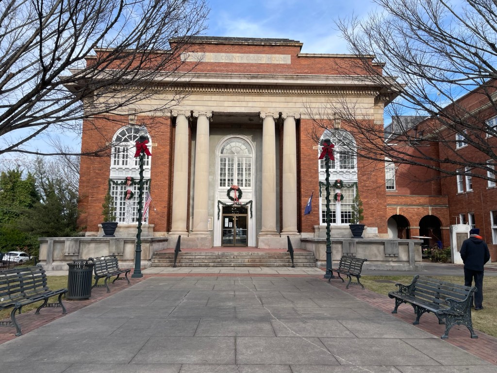
For example, the holiday decorations and Christmas tree in Abbeville, South Carolina, below, must have taken a team of volunteers days to put up. They also had signs for a musical public event, to give people a fun reason to come back to the business district this holiday season.
Abbeville’s charming brick streetsAbbeville
Another business district that is still doing rather well, Hartwell, Georgia, had a variety of public events listed this month — a tree lighting event, a holiday-themed theatre production, a local home tour, and a Christmas parade. But even they’re struggling to pull people into town due to the economy. We were often the only people in the shops when we visited them. And their annual home tour usually sells out almost immediately we were told, despite its $25 per person price tag, but this year there were still a lot of tickets left only a week before the event.
Walhalla, South Carolina — amazing museum telling the story of the Cherokee population that lived and continues to live in the area. Washington, Georgia — home of firsts: first county in GA, first library in GA, first cotton mill in the South, first gold stamping mill in the world. Anderson, South Carolina — ‘the electric city’ that early on powered its community with a hydroelectric dam.
Royston, Georgia. Seneca, South Carolina. Toccoa, Georgia. Westminster, South Carolina. I could go on and on. All of them are worth visiting and filled with interesting history, but for the most part that hasn’t been enough to keep the businesses open and the employees paid.
I don’t have the answers needed, and I certainly don’t want to knock these communities. They’re lovely. I hope they can find a way to thrive in the coming years.
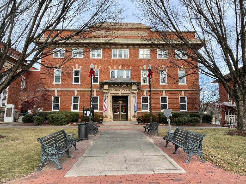
Abbeville police stationAbbeville Opera House
In honor of these sweet little towns, may I suggest that you buy less, if you must, but definitely buy better when you can? Find your next must-read at a local bookstore. Buy from farmers markets, crafts stalls, and roadside stands. Meet the people who grew/raised/made the things you purchase whenever you can. Eat at family run restaurants. Stuff your stockings with things an individual made. (Such as some fun stationary, pretty pottery, or even a lump of coal.)
We spoke with the repair shop on Monday and drove up there today. The truck’s one-piece ‘cage’ was damaged along the driver’s side bottom, so they’re going to shave a portion of the entire driver’s side off (an inch, two, three? I have no idea) and weld a new edge back on. Apparently that is a thing. Who knew.
They’ll pull the truck bed off and set it aside while the cutting and welding is being done. After they ensure the new driver’s side doors, front quarter panel, and bumper fit correctly, they’ll put the truck bed back on and send it over to the paint room.
They have to replace the front tire since it has gouges in it, possibly replace the rim, and balance & realign the front end as well. We asked that they swap out the other three tires as well (at our expense), since we were planning to replace all four in the spring anyways. This way all four will have the same amount of wear going forward.
We’re settled in at the local campground and can stay here until New Year’s Eve, if need be. The repair shop estimates that truck will be finished around the 22nd. Luckily we can keep the car rental until the end of the month, if things do take a touch longer. We really really hope that they don’t.
On a ‘It’s a small world’ note, we found out yesterday that our campground neighbors are from the small town where Jeff’s dad spent the bulk of his career. He was their kids’ elementary school principal!
Hotels are odd things. Strangers packed into too small a space each morning, huddling over a meagre spread in a kitchenette. Pardon me and Excuse me and May I and Oh, I’m sorry around a warming dish with watery powdered eggs and mass produced sausage patties, a platter of single serve bowls of artificially colored, machine extruded cereals next to a bin of apples and ripe bananas. How long has the oatmeal been out? Am I in your way? Is there decaf? Hotels are liminal, hermetically sealed spaces where no one belongs and everyone exists. Exists. Exists, until they leave for someplace else. Always someplace else.
Yesterday a woman sat waiting in the lobby while I read in a corner, letting Jeff enjoy a few hours of Hollywood with its flashing lights and percussive bangs. She needed something, someone, somehow either for a room or a ride to appear in her name. She sipped lobby coffee. I sipped tea. Snatches of a one-sided telephone conversation spiked the silence, ending with Please, help me. Help me. I’m counting on you. I’m counting on you. She was there when I left; she was there when I got tea later.
So far breakfast places that use a K in place of a C are abysmal. If doubled, such as Kountry Korner, oh baby, that place is to be avoided no matter how busy it is. Yes, it’ll be cheap, but at what cost? Go hungry before setting a foot across that threshold. If, on the other hand, there is almost no interior seating, there’s a janky drive up window, and the words Biscuit Barn follow a first name (for example Ben’s or Tammy’s), tuck that napkin in tight around your collar and get ready for your eyes to roll to the back of your head. In the spirit of ‘Since we’re in the south,’ we’ve eaten at both a Waffle House (in Chattanooga) and a Huddle House (today). Once was more than enough for both, but Huddle House was the better (and definitely the cleaner) of the two.
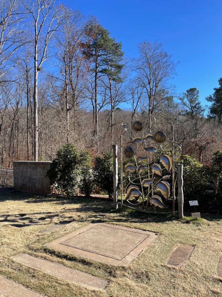
We’re trying to spend some time outside each day, so we wandered around a small, local botanical garden yesterday, despite nothing being in bloom. It’s completely volunteer funded, run, and maintained; it looks to be well arranged. There must be a few master gardeners in this part of Georgia. I imagine it’s a lovely place to visit when the heat of summer comes barreling in. We read all the plaques, enjoyed the sculptures, sat on the benches, and watched numerous songbirds flit between feeding stations. We had the place to ourselves.
It’s a small thing, but I’ve come to the conclusion that all coffee shops should have a pile of puzzles on hand for patrons. The little café here does and it was a nice mental break to put together a tiny 100 piece puzzle while sipping on a latte. When we got back to the hotel, we broke out the Backgammon board and Jeff proceeded to win three games in a row. Games, especially ones that include a hefty dose of chance, are underrated.
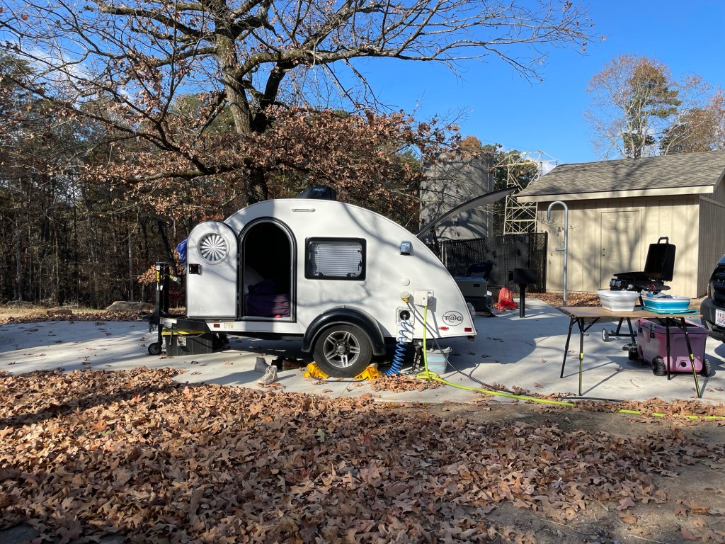
Well look at that. The first thing we noticed driving into our campsite at Tallulah Gorge State Park was a teardrop trailer in the site next to ours. (The second was that the previous campers at our site hadn’t left on time.) It made my heart happy to see another proponent of the tiny travel life. What really blew our minds though was hearing that she was scheduled to pick up her own Bean Trailer in the spring! Sunny is going to be a great part of the larger Bean family.
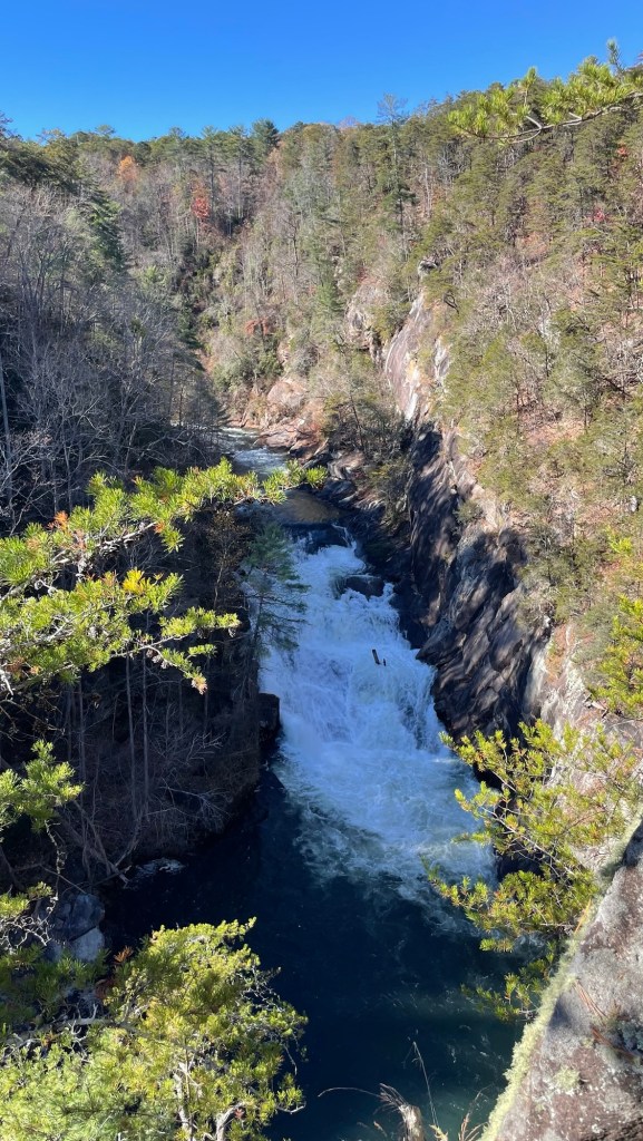
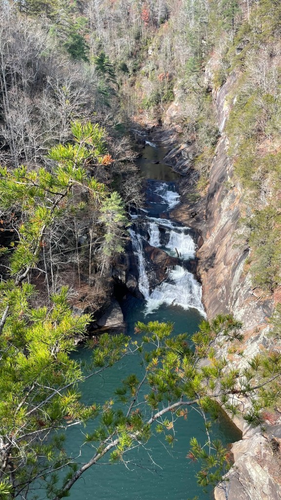
When booking, we were surprised to only find one campsite available. That was because the Tallulah Gorge Dam only does a big water release a few times a year, allowing people to experience the roar and volume of the falls as they once were. During this time, kayakers can run the rapids and we were lucky enough to catch the last weekend of this year’s releases.
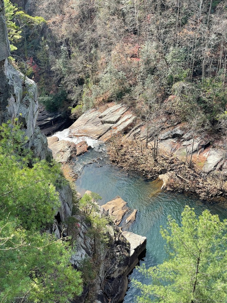
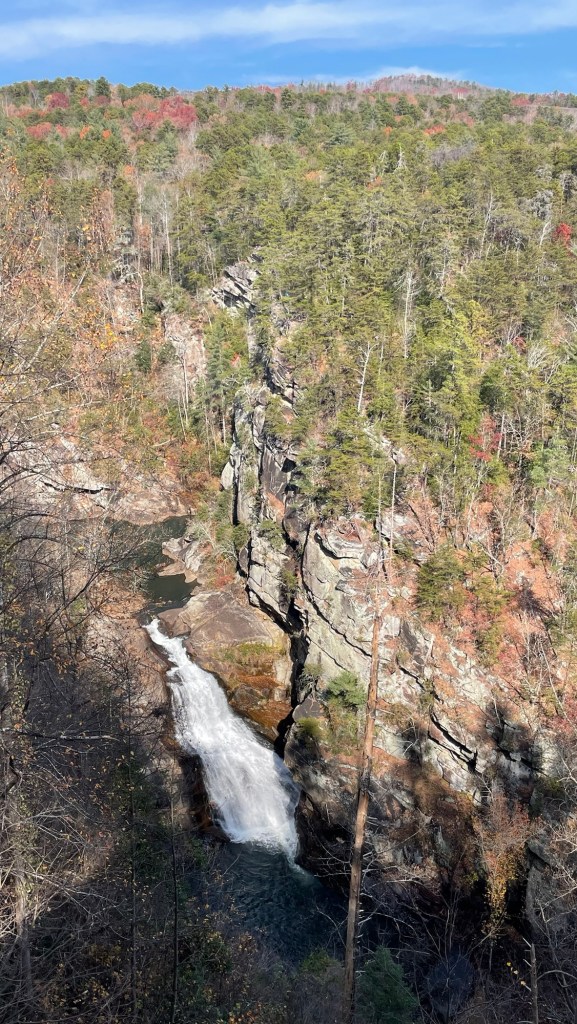
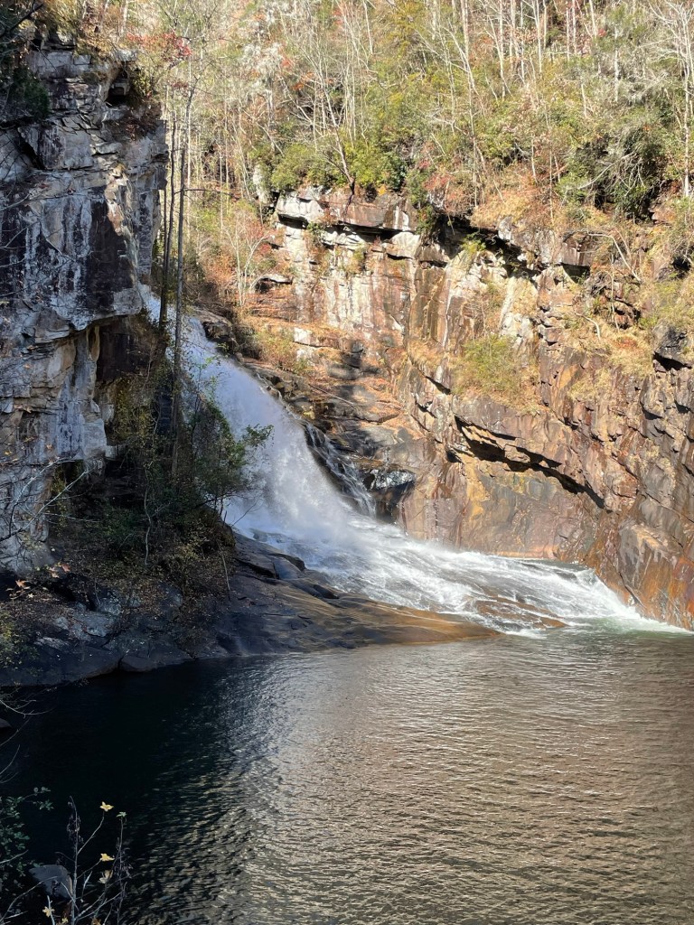
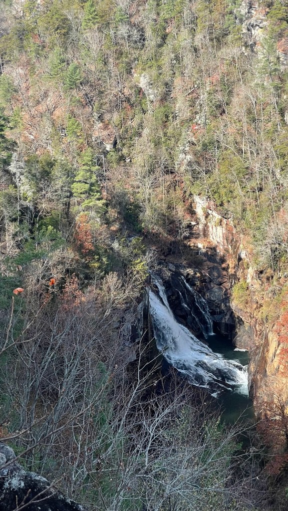
During the releaseAfter the releaseAfter the release, we could see this narrow neck holding back a small pond between waterfallsDownstream from that narrow neck
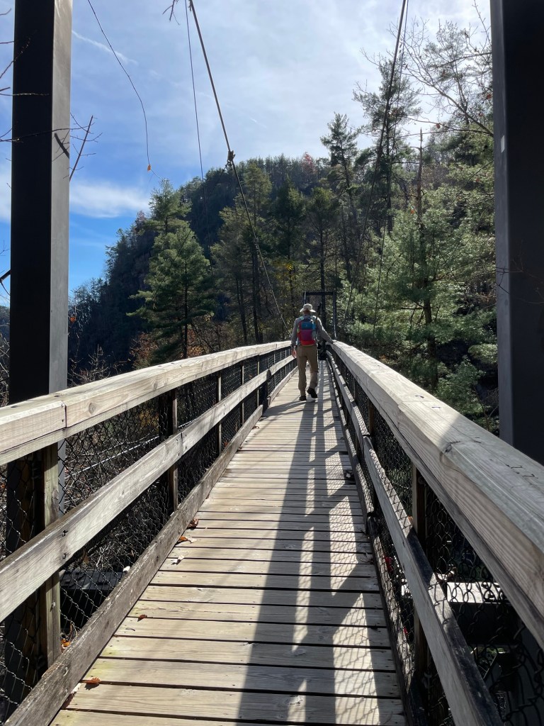
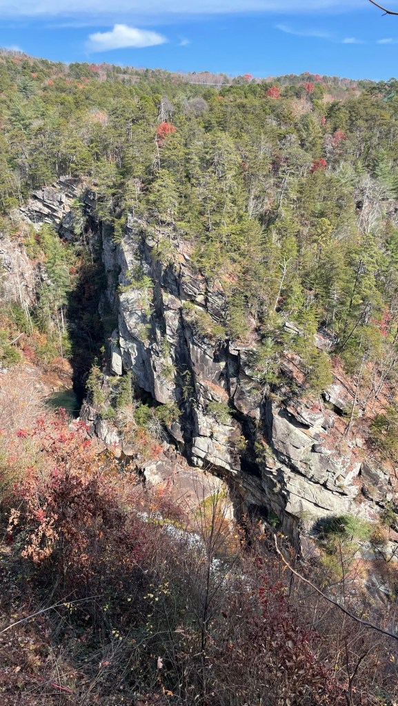
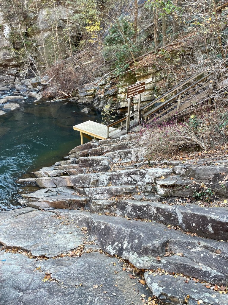
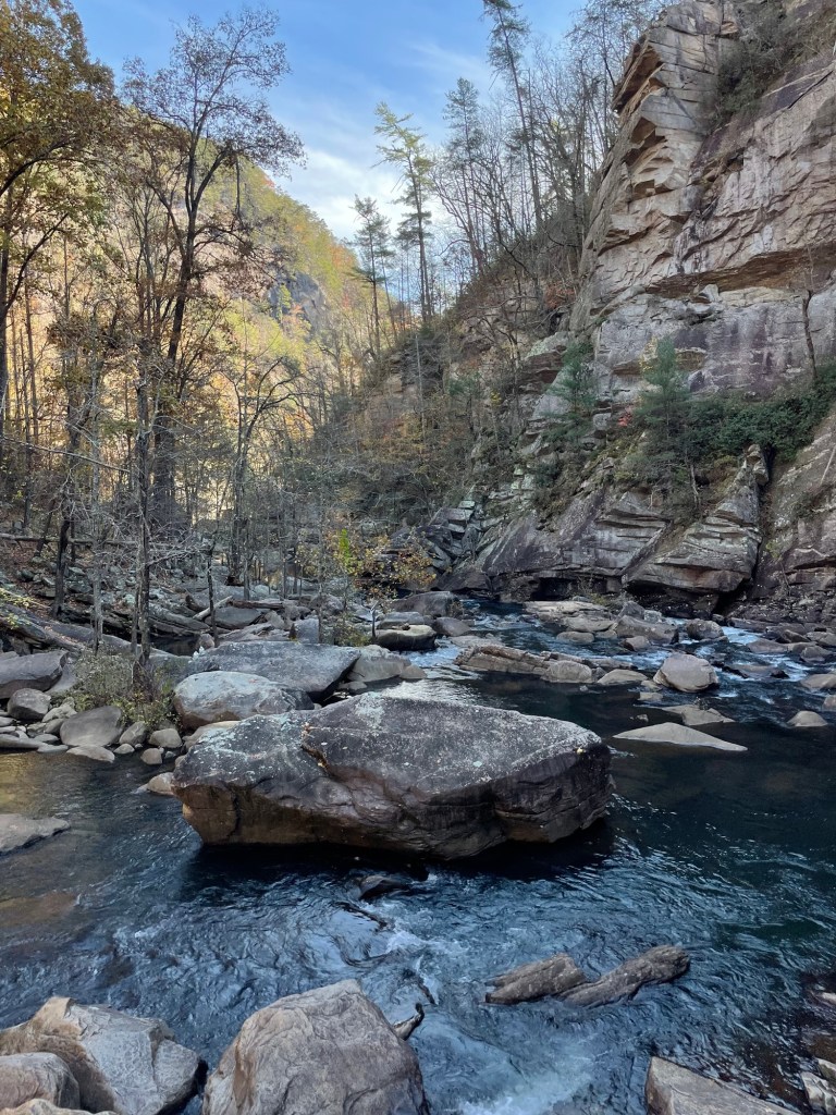
There are ten different viewing platforms, some on the north and some on the south sides of the gorge. Two of them lead down to a suspension foot bridge, and then even further down to a water’s edge kayak launch area and gorge river trail. Going up and down, we covered about 1,000 steps on a day after the weekend’s crowds had left. My legs were shaking and my lungs groaning when the steps were all said and done. I’m glad we did it; I am in no rush to do it again.
We really enjoyed the lower platform and might have given the gorge floor trail a try, but a special pass was required. We didn’t know what the trail involved, so afterwards we stopped at the Visitor’s Center to ask about the details. The floor trail was open, but it required multiple water crossings which seemed unpleasant for this time of year. Another upper trail that required a pass was closed, as it went through a National Forest area open to seasonal hunting. Getting shot at does indeed seem like a bad idea.
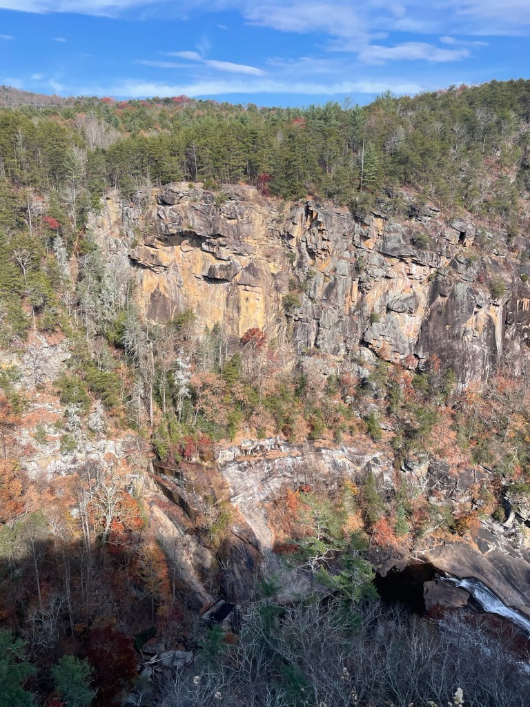
The fall at the lower platformView from Platform 9 (no 9 3/4 that we could see)Gorge(ous) walls
Down below, you get a good view of the rock layers, faulting, and erosion. We spend a lot of time thinking about the geological processes that have gone into making the dramatic landscapes all around us.
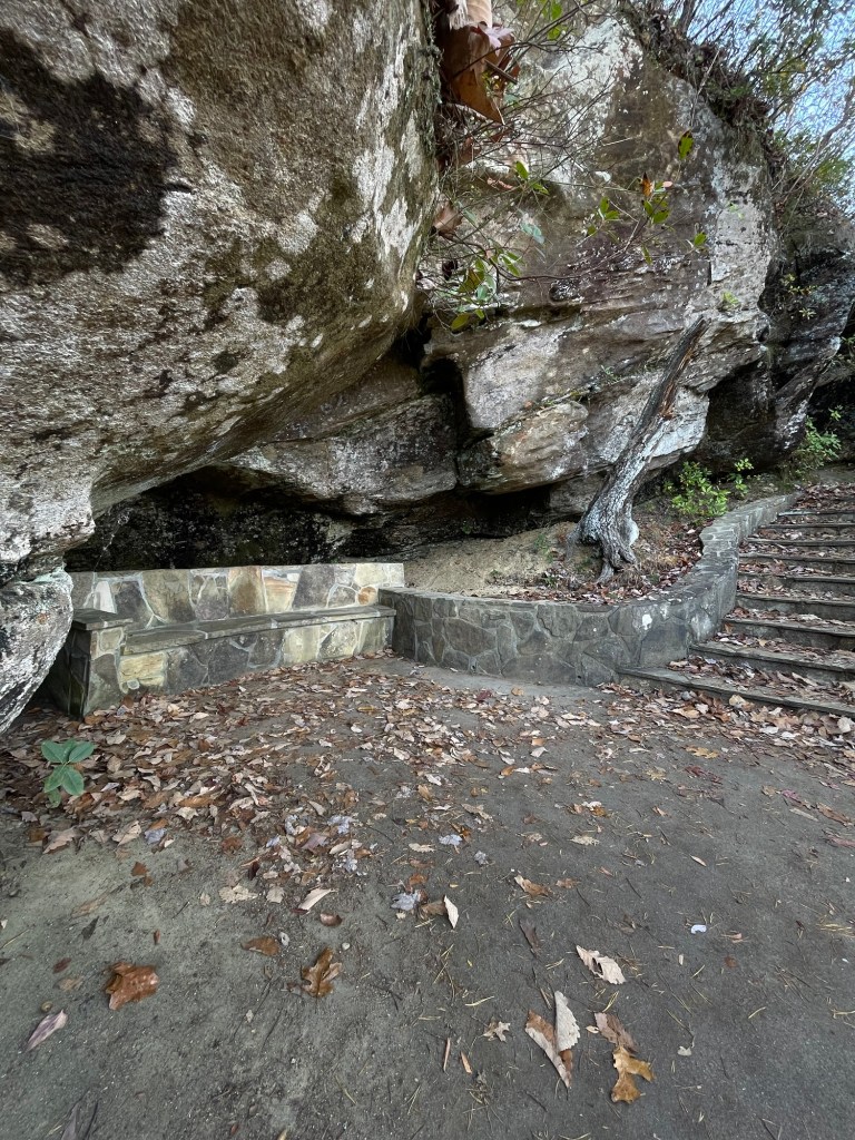
At some point, this seating area and a few others were built along the viewing trails we stopped here for a snack, munching our apples with a pretty remarkable view of an upper viewing platform and the climbing wall below it directly in front of us.
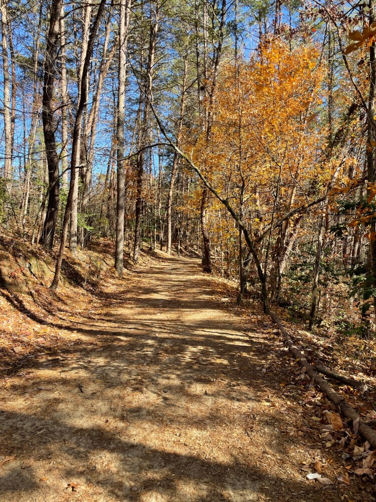
Climbing wallGeorgia is pretty even when the leaves are mostly fallen
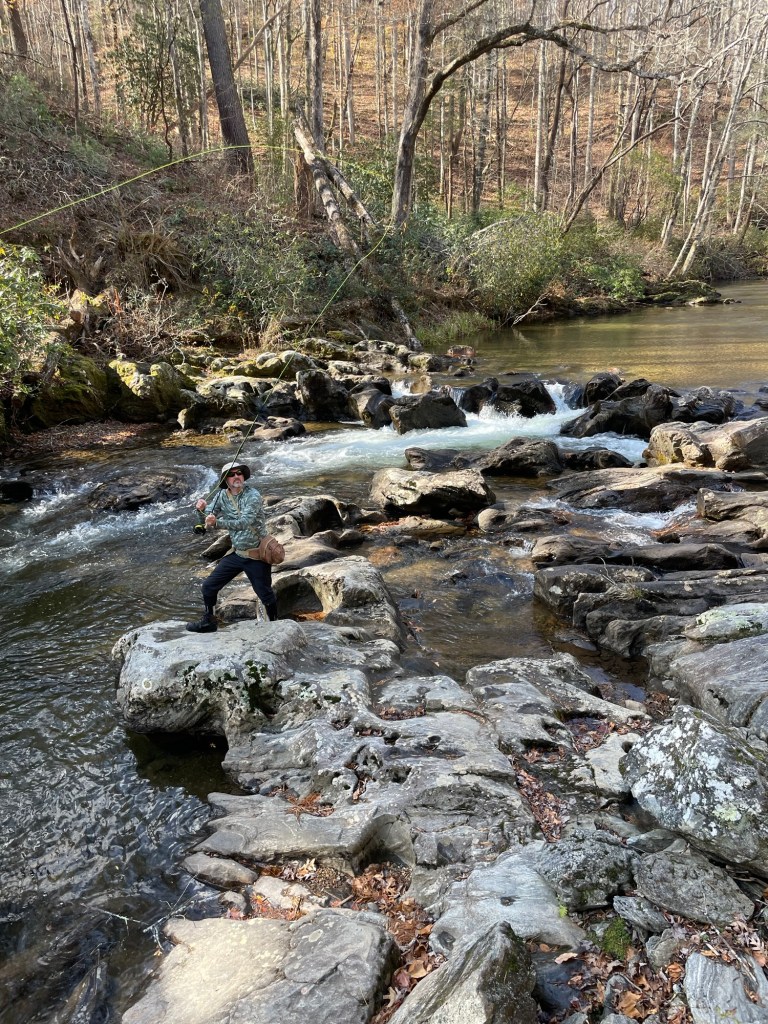
A local fly fishing outfitter, in nearby Clayton, gave Jeff directions to a quiet stream that often has good fishing. It’s a bit late in the season, but he never seems to mind so long as he can swing a rod across a gurgling river. I just love to watch the snap and swish of a fly rod, in between chapters of a good book. Any other fly fishing anglers here?
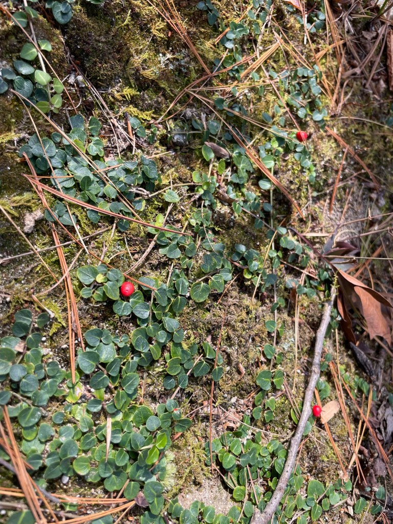
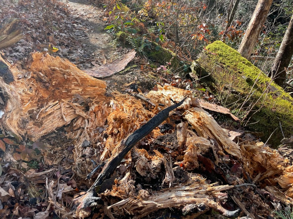
Pretty forest ground cover (Mitchella repens, Partridgeberry)We wondered if a bear had torn up this decomposing stump looking for insects
After Jeff was done fishing, we decided to go on a walk in the nearby National Forest. About a 1/2 mile in, we remembered that its hunting season and that hunting is allowed in most National Forests. We beat a hasty retreat.
Our only complaint about our stay has to due with the unsupervised kids on the last weekend. Now I get it, we’re decades past the little kids stage. Parents to an only, we were also never used to being around loads of kids. I think we can take issue, however, to a passel of young kids screaming, running, and riding bikes through the campground and trashing the bathrooms until 11:30pm. The parents at the four different sites, we saw, were busy tying one on and the camp host was nowhere to be seen. What do you think, too much to ask?
Yes, I take quiet hours seriously. I want to relax and sleep. The kids themselves were friendly, especially after I rendered first aid to one who crashed his bike, but they really needed some adult supervision.