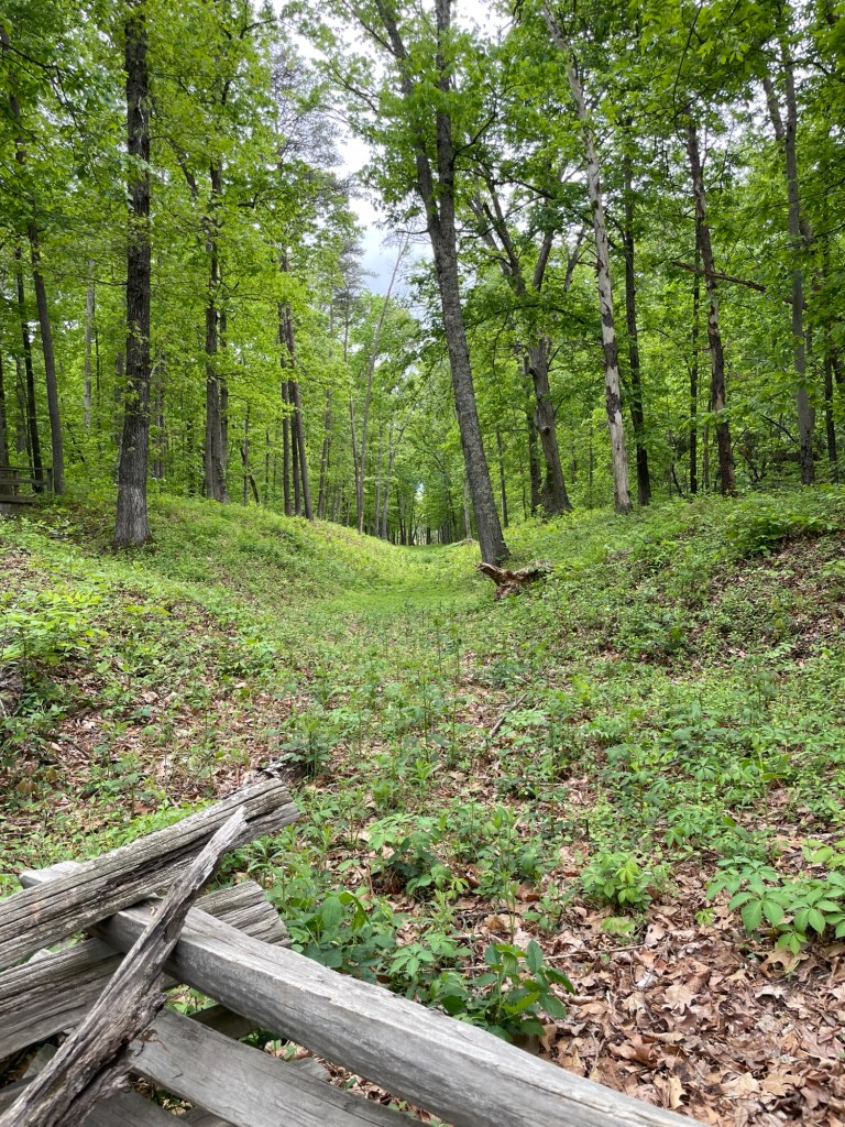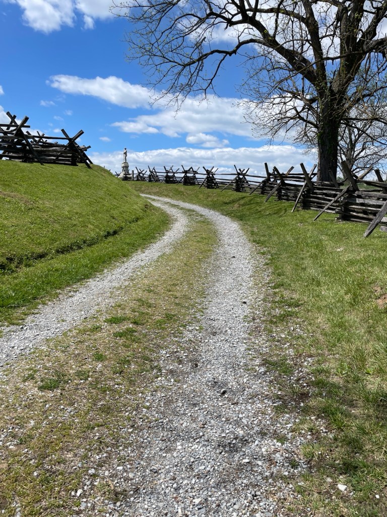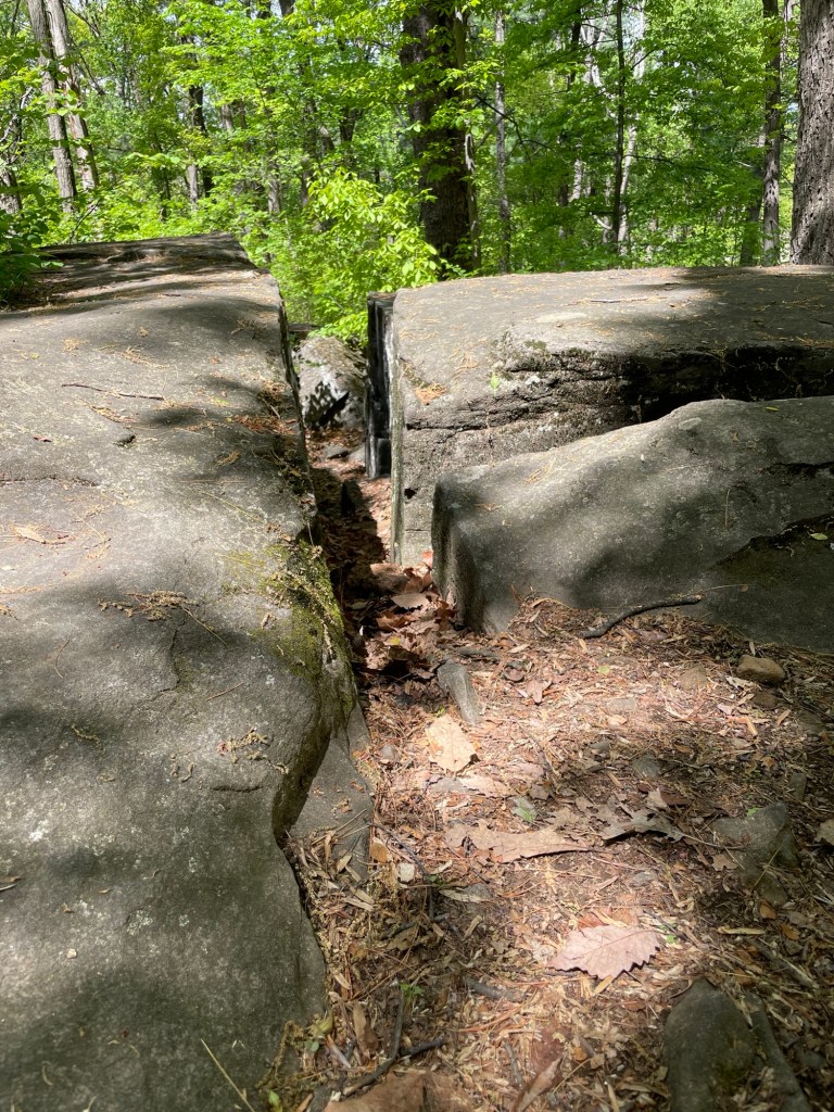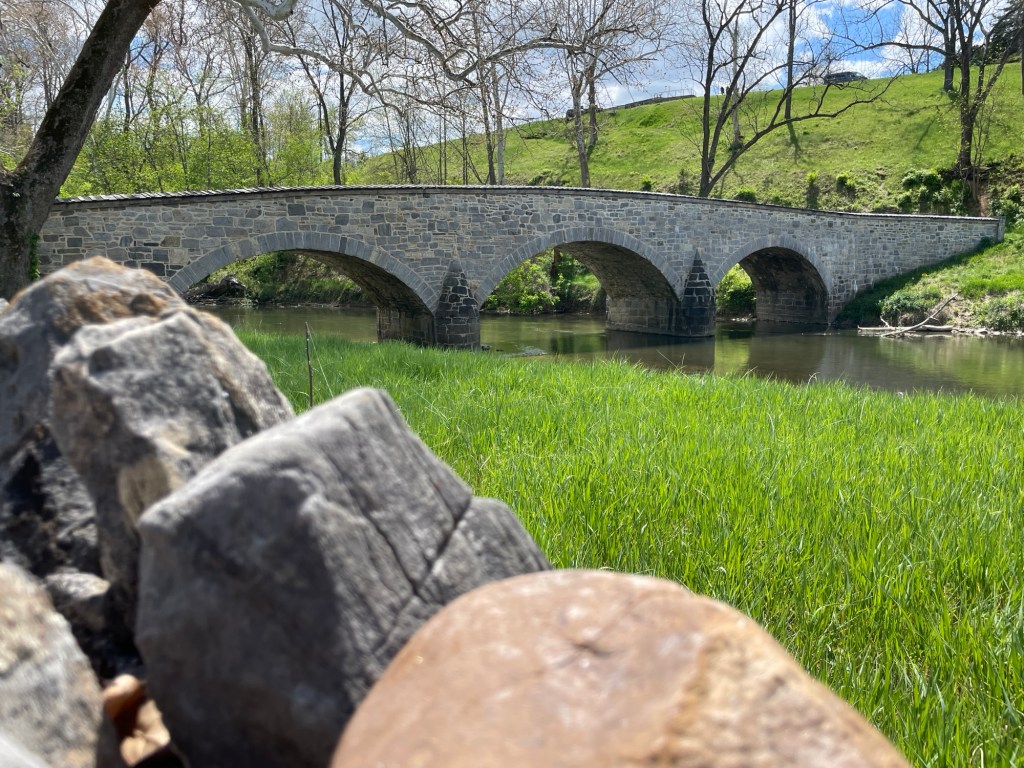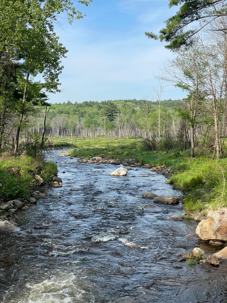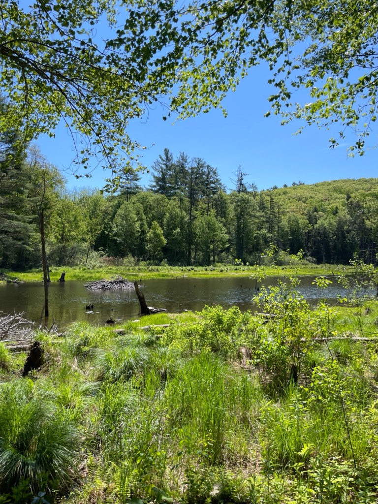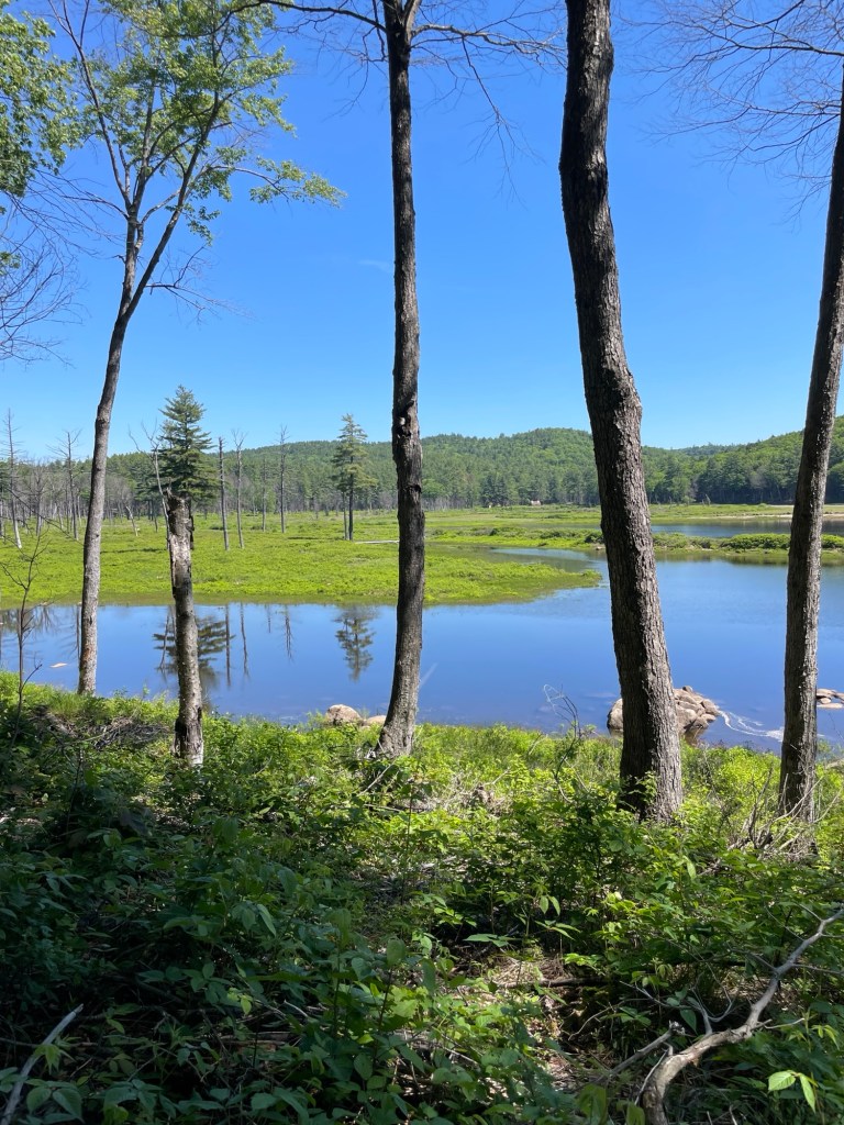
• Ives Run and The BOG

    Set your brain in reverse for a moment, back to early May…

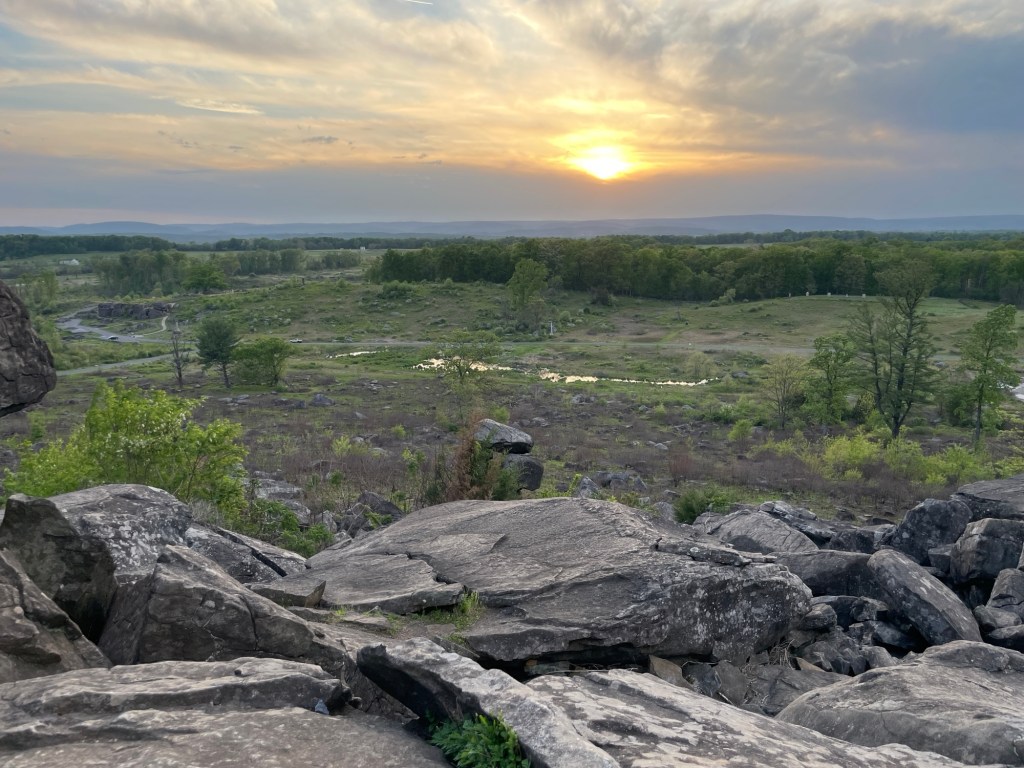
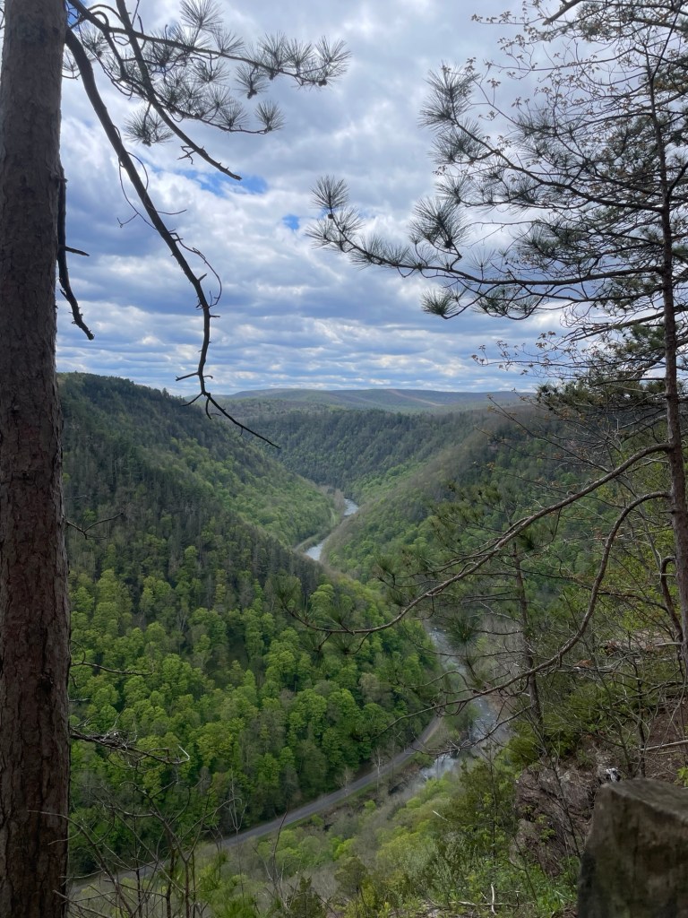
    You can imagine our raised eyebrows when we saw sign after sign for The Grand Canyon of Pennsylvania. Oh, sweetie. After a very good breakfast at the only and somewhat dubious-looking restaurant in Tioga, Pennsylvania, we drove over to see this natural phenomenon. Yes, it’s good sized and yes, it is a very nice canyon, especially when it’s freshly leafed out in the spring. But Grand? Well, Very Nice Canyon of Pennsylvania doesn’t have quite the same ring, does it?

    The Grand Canyon of Pennsylvania

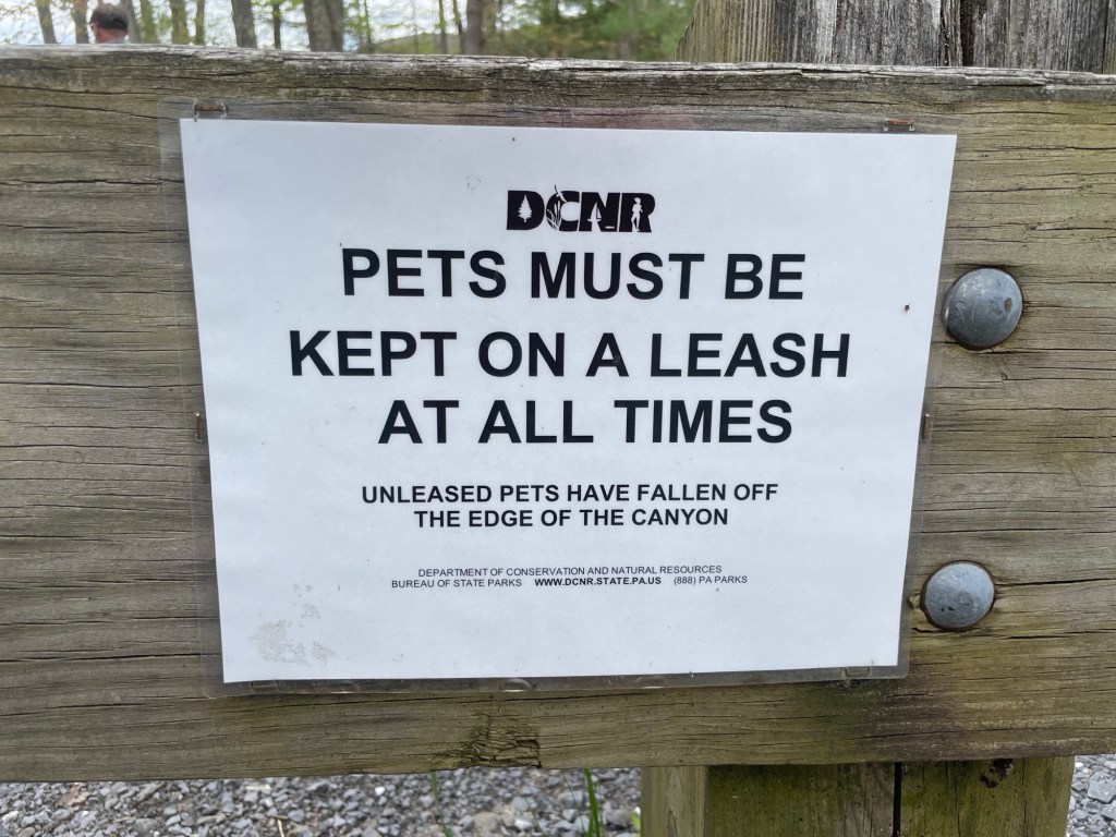
    I like that the PA Department of Conservation and Natural Resources doesn’t play around about dogs going off leash near the ledge. Their viewing sign’s final parting shot hopefully gets people’s attention. It did mine, and we don’t even have pets.

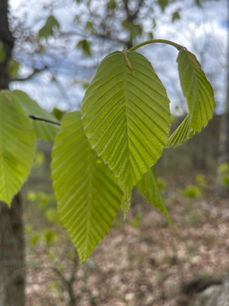
    We have moved up into lots of Beech trees territory. There was a marked increase of them in Pennsylvania, New York, and here too in New Hampshire. I enjoy their serrated edges. As for Birch trees along river edges, I’m quite fond of their devil-may-care approach to bark retention. Maybe they’ll keep it, maybe they won’t. The beavers seem quite fond of them either way.

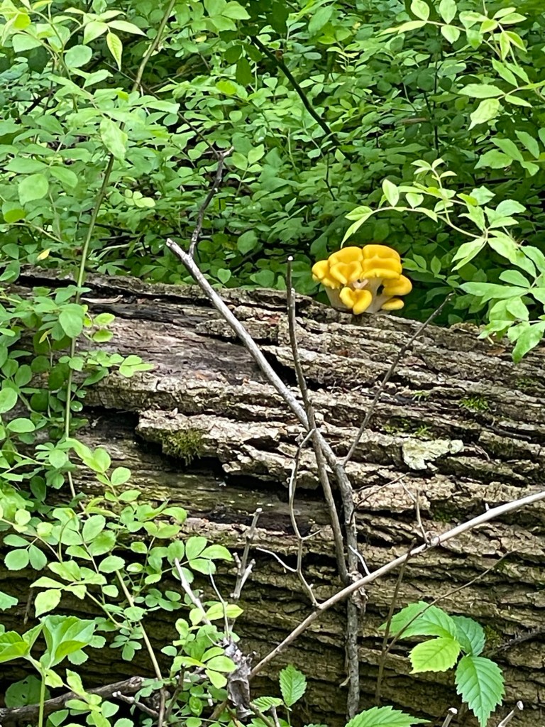
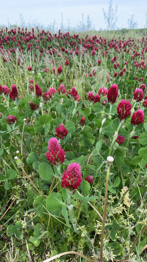
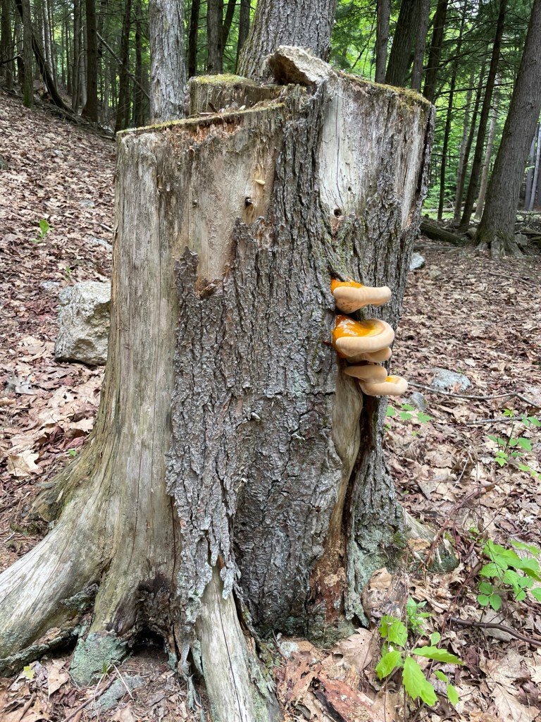
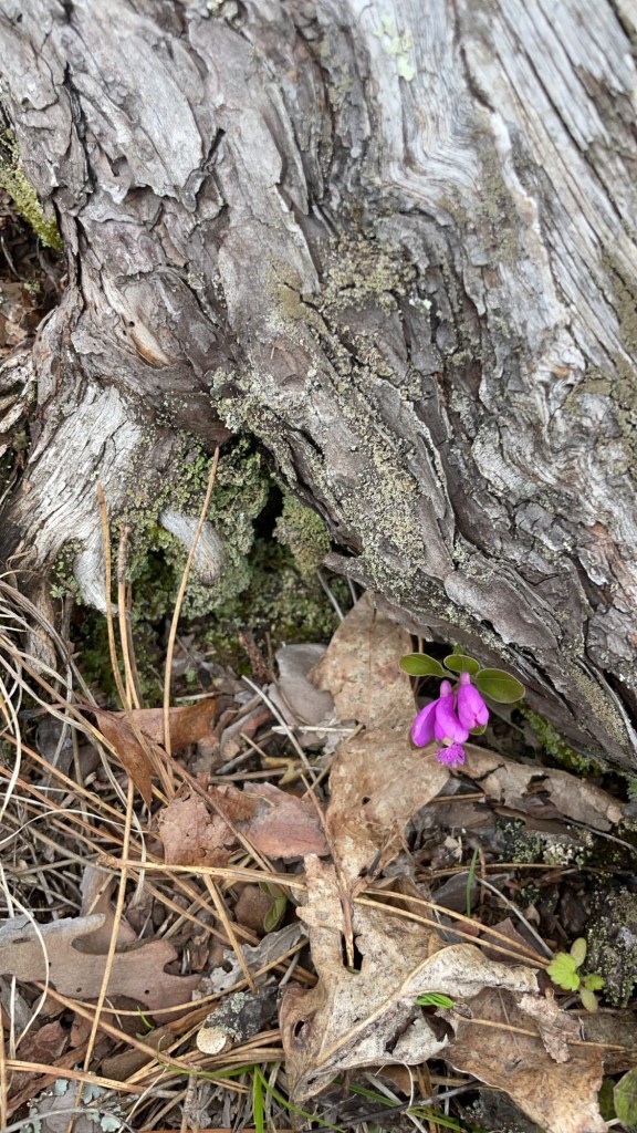
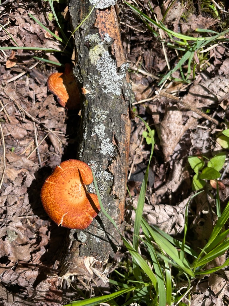
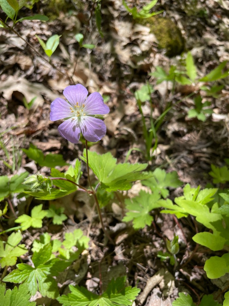
    Similar to the fall color show that we experienced heading south, we followed the annual spring wildflower blooms on our northerly route. It’s lovely to see whites, pinks, yellows, and purples breaking through the brown and weathered grays of the forest floor in April. The vibrant orange of the mushrooms above was an exciting find, too.

    What we hoped to hike

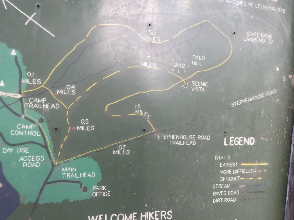
    Ives Run, an Army Corps of Engineers boat launch, day park, and campground along the banks of a double reservoir in north-central Pennsylvania, has an extensive trail system right at the edge of the campground. The views from above are said to be spectacular. We wouldn’t know.

    What we found

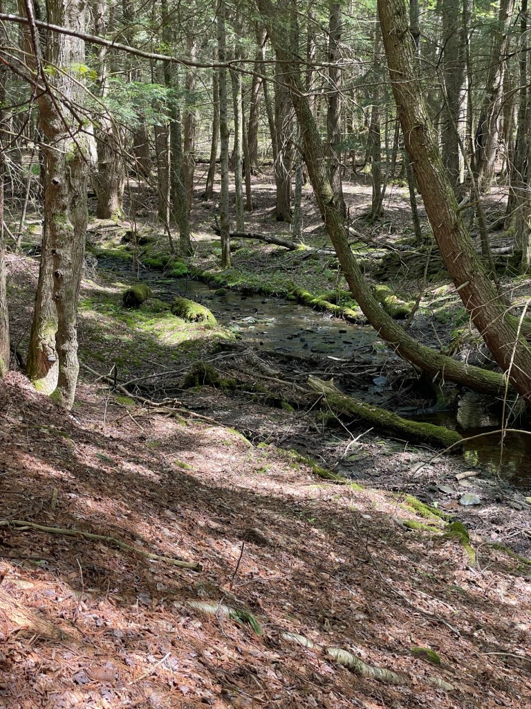
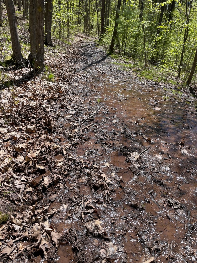
    We got about a mile into a 5 mile hike and turned around. Our boots were leaking and the trail was deteriorating with every turn. We’ll have to take their word for it.

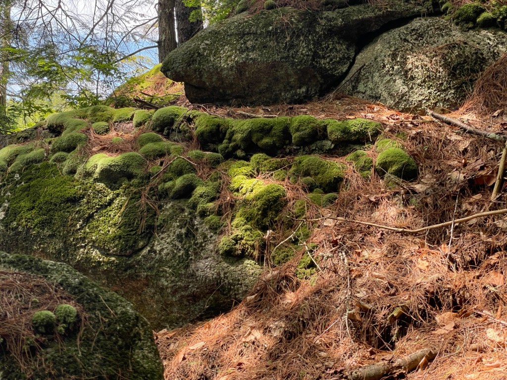
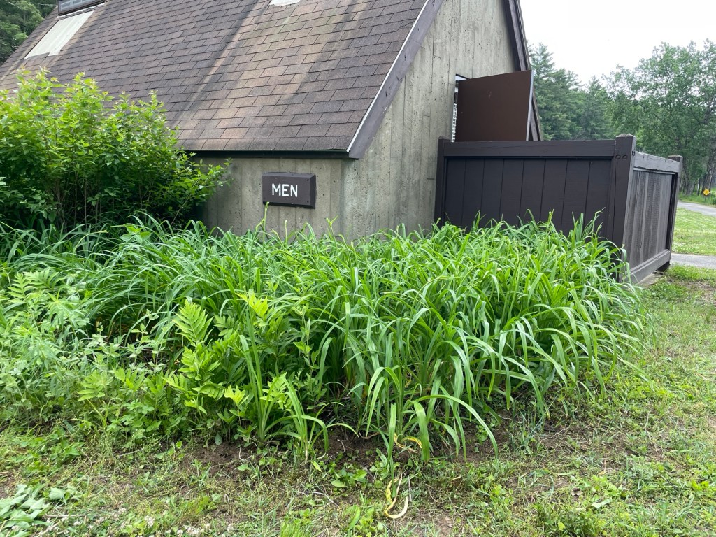
    Now take the above photo and turn it into an entire campground. That is what our six days at Meadow-Vale in central New York state felt like. Potholes to lose an axel in. Muck in, on, and around the trailer. Moss on top of moss. Rotting leaves on top of rotting leaves. I was very glad the truck has four-wheel drive and the trailer’s suspension is lifted. Oh how we wished we had chosen to drive straight into New Hampshire.

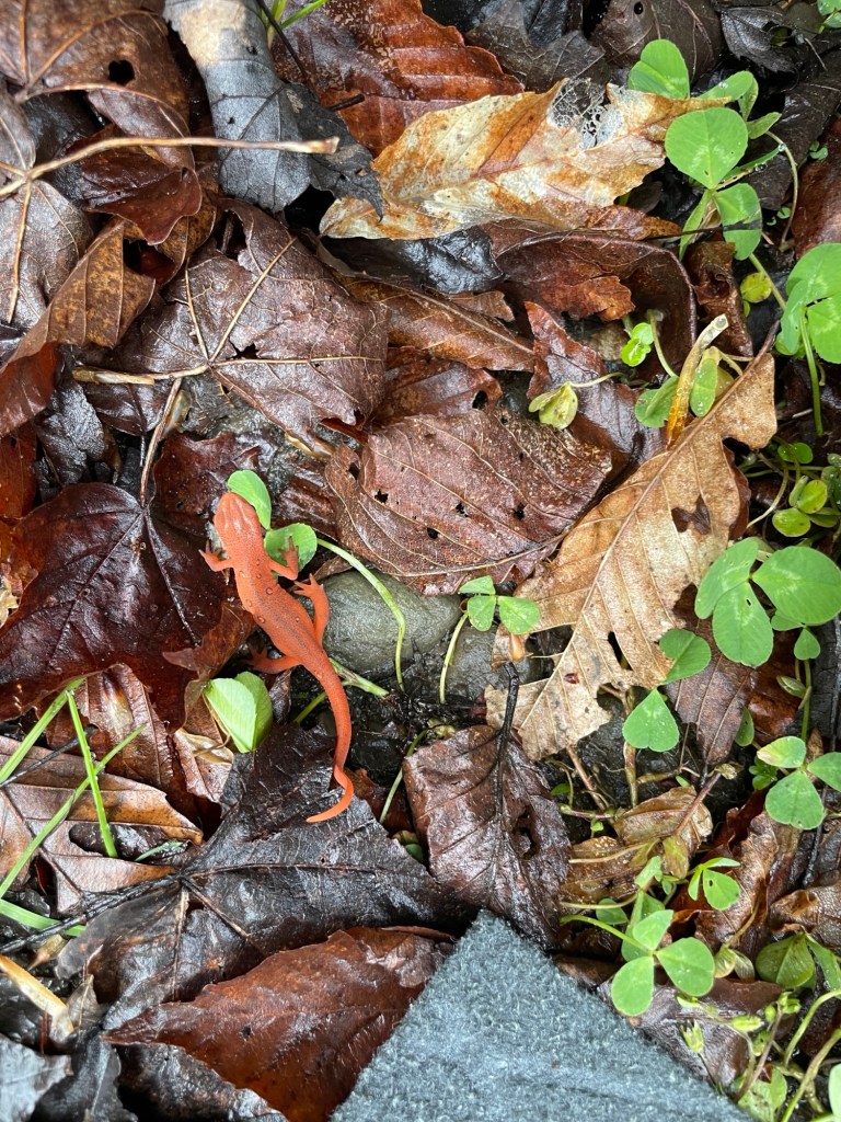
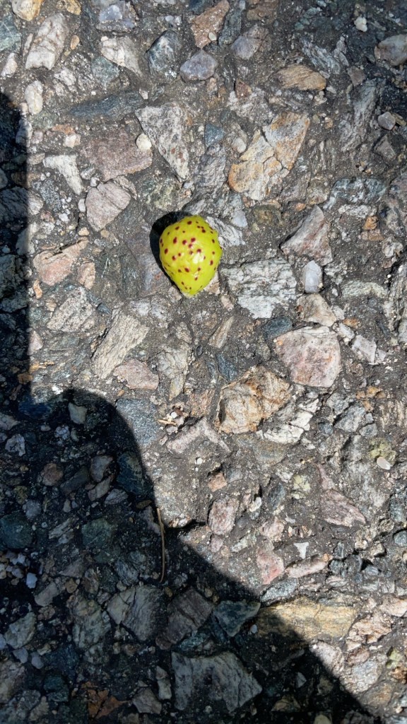
    The brightly colored Eastern Newts thrive in the wet, muddy conditions.

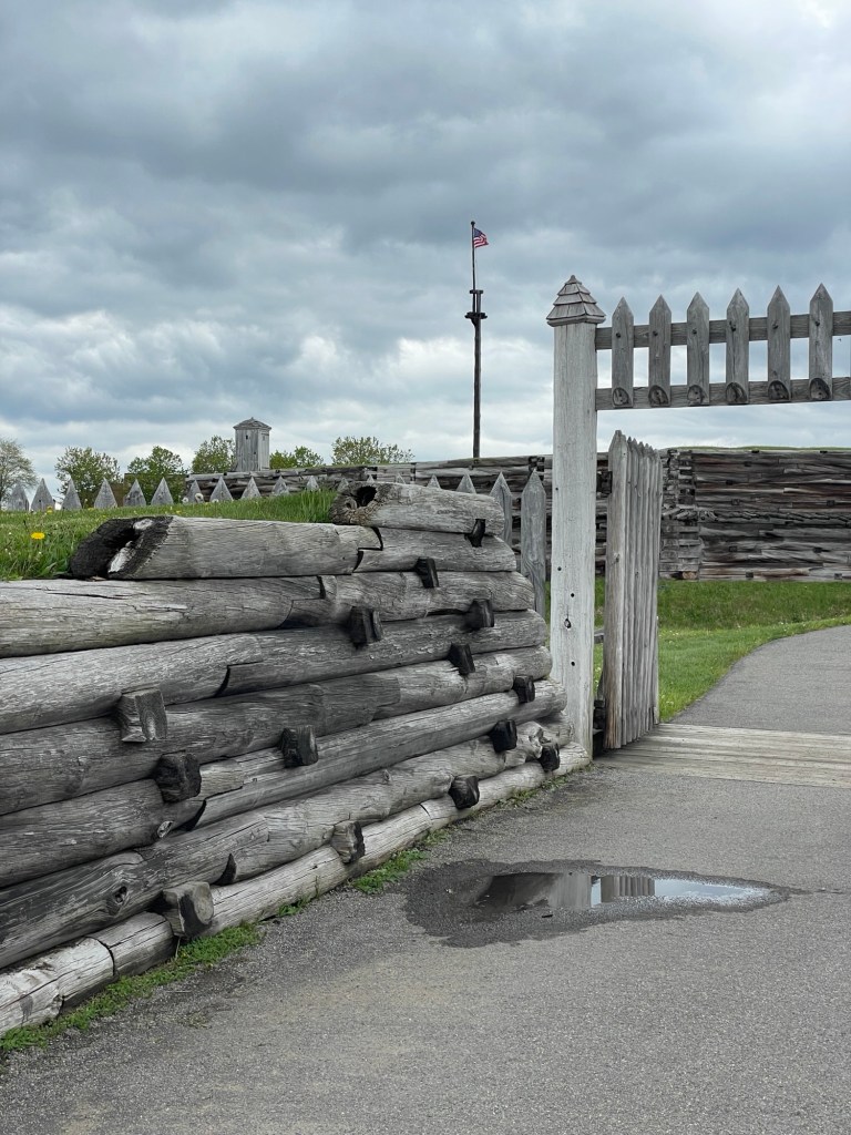
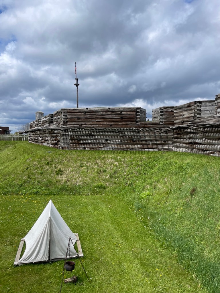
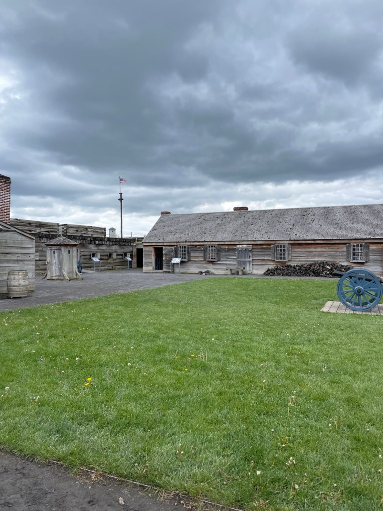
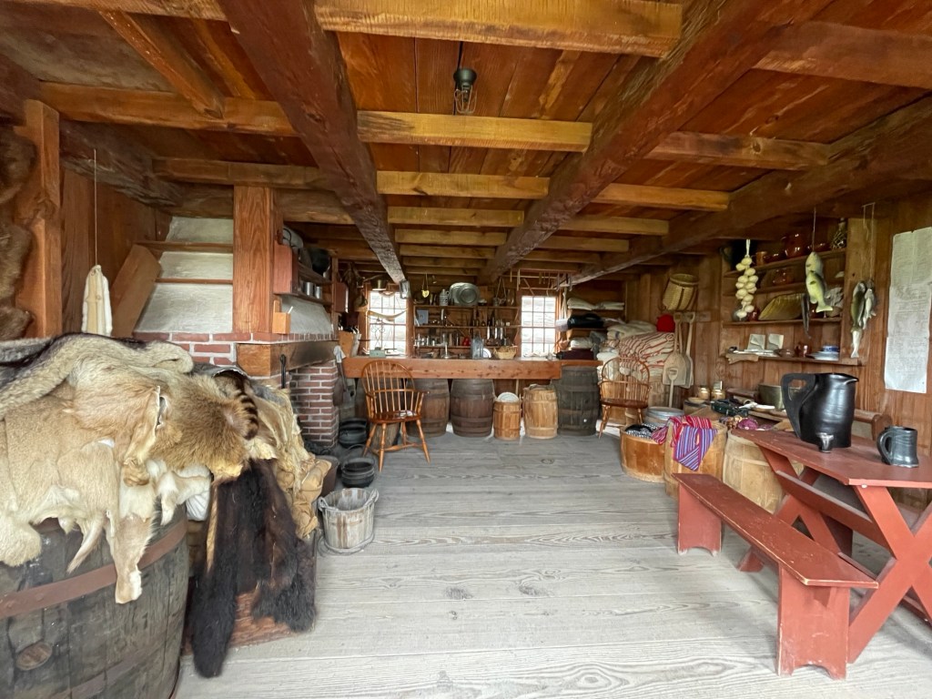
    We filled one of our days by driving up to Fort Stanwix National Monument in Rome, NY. For three weeks, the troops in Fort Stanwix held off a British siege, and kept a vital river portage route in American hands. There is a very comprehensive visitor’s center that does an admirable job of showing the varied experiences and opinions of four people involved in the region’s conflicts. A young German-American woman describes a family riven by the conflict. A Scottish loyalist, driven off his farm after siding with the King, takes up arms to punish the upstart rebels. A Native American leader does her best to keep the people of the Six Nations from being pulled into the White people’s war. A Dutch immigrant fighting for the American side describes his vision of liberty and the anticipated spoils of war. Videos throughout the exhibit portray the same four people reacting to events.

    The main gate, flag, moat, and sentry platforms

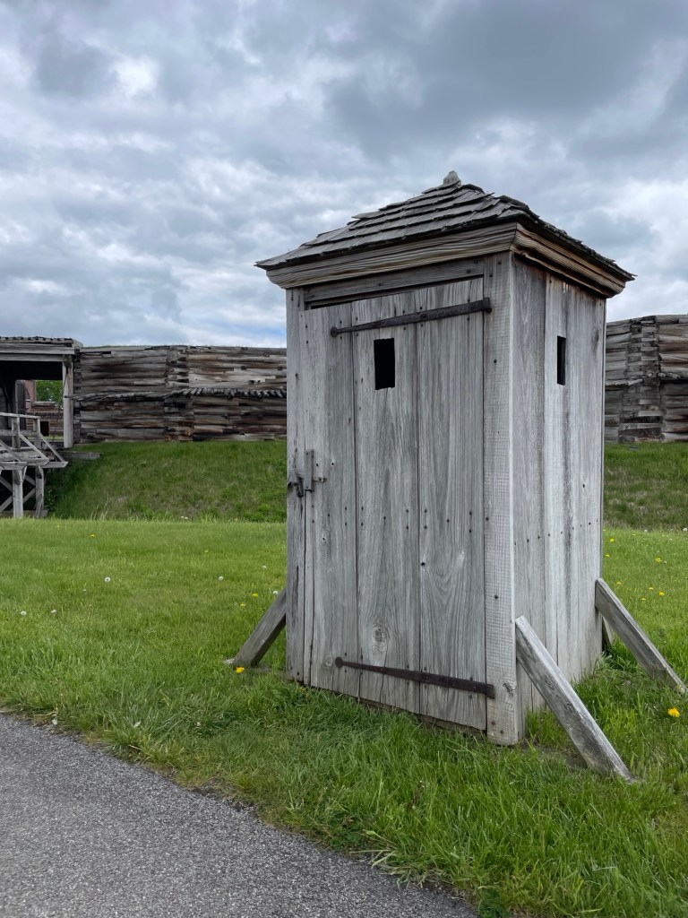
    Sentry boxes kept the men dry and a bit warmer during their watch shifts. They are not, as I assumed, just very strangely placed latrines.

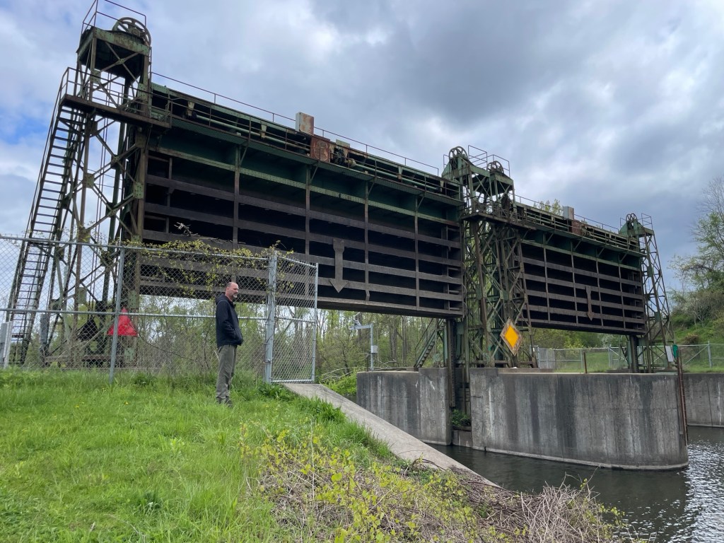
    Rome, NY has an old lock still in place on the Black River canal, a once vital connecting point along the Erie Canal. I’m not sure if the lock is still operational.

    Now you might wonder why I picked what is possibly the least desirable campground in central New York State. The simple answer is that it was open for the days we wanted. Oh, if only we’d known. Gilbert Lake State Park, just two miles away, opened only two days later, and it’s lovely. Just. Lovely.

    Clean lake and ground! Paved roads! Well-maintained camping facilities!

    Live and learn.

    The wildest part is that for days we’d been asking the owner and all the seasonal folks we talked to (most had parked their RVs there for over ten years) about the state park. Where was the entrance? What kind of hiking, fishing, or activities did it offer? Every single person said they didn’t know anything about it and had never been there. Not even once. Never set foot in the state park that’s a five minute drive away. Now I have to believe that this whole line is a load of crap. Once the park opened for the season, we could SEE some of the trailers at the state park’s campground from the road leading to The Bog.

    So I have to ask, What’s the point? Seriously, what is the point? If they all want to camp at The Bog every summer, more power to them. I don’t get it, but I don’t get sour cream and cheddar flavored potato chips either. I like ham and pineapple on my pizza. Almost no one gets that. You do you. But why act like you don’t even know about the state park’s existence to an out-of-state visitor? That’s a weird sense of loyalty, in my book.

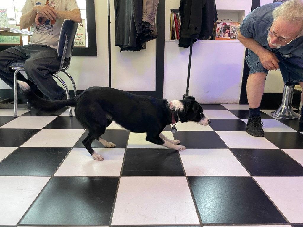
    We stopped at small diner in Oneota on our way out and met the resident service dog in training. This sweet pea warns about oncoming seizures and blood sugar emergencies. She’s also very particular about who she will play fetch with.

    Because the Cooperstown Little League World Series facilities are located there, drawing visitors from all over the nation and the world, the small town of Oneota is a food restricted diner’s paradise. Almost every restaurant is accommodations aware and ready to help you have a safe meal. I could have cried when I was offered not only gluten-free toast, but a dairy-free and soy-free butter option. It’s the little things.

  • Turtles are dinosaurs

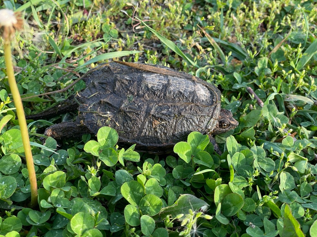
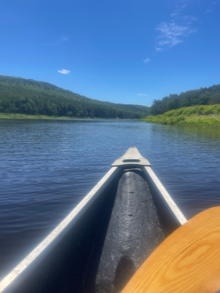
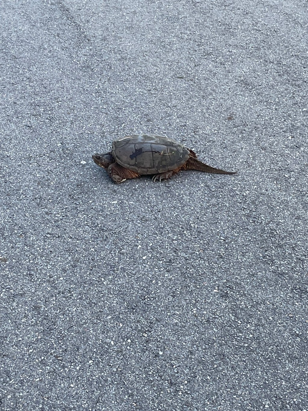
    Our little reservoir lake has multiple small rivers and creeks feeding into it and the wetland created by the beavers. It’s also a turtle paradise. Snapping turtles are especially fond of it, and right now is egg laying season. So each evening this last week has brought the females out to the main gravel parking lot where they slowly dig their holes, slowly drop their load of eggs, slowly cover them back up, and then scurry back into the water. Egg laying done, each turtle’s concern for her 20-80 eggs appears over.

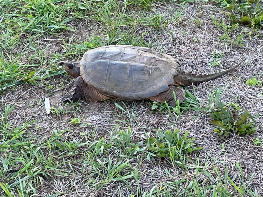
    I had never really looked at turtles before, so I didn’t realize how obvious it is that they, like birds and crocodiles, are literal dinosaurs. That tail alone makes them look right out of Jurassic Park. Did you know that a snapping turtle’s saggy neck is nearly as long as its carapace (shell top)? I didn’t. But as I watched one intently watching me, it stretched its neck out out out until I thought it would tip over onto its little beaked mouth.

    Depending on the weather this summer, we may or may not see the surviving hatchlings dig out. Hot weather means faster hatching times (and more female hatchlings). I read that 90% of eggs are devoured by predators the night they are laid. Ninety percent! And their odds aren’t much better once the hatchlings dig out. No wonder they lay so many eggs. The predator list is long and varied. But if they make it to adulthood, they’re pretty safe — so long as they stay away from roads and automobile traffic.

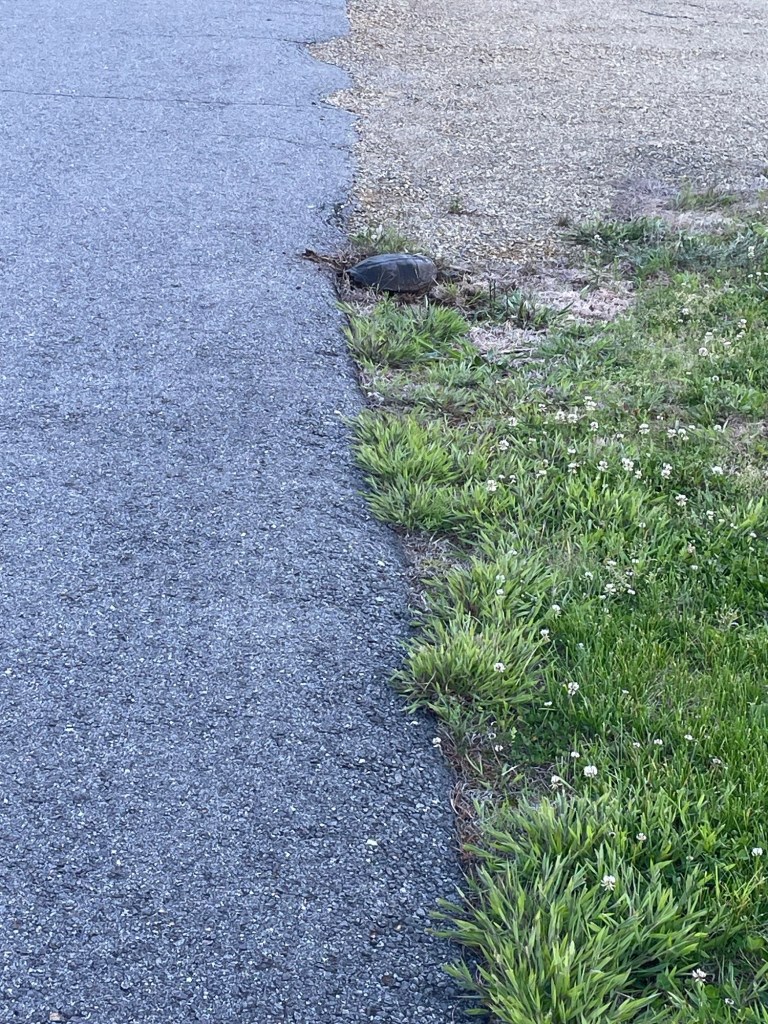
    This one is tempting fate laying by the road

    We warned a few people running their dogs off leash about the snapping turtles, but few seemed worried about it. I’d hate to see a good doggo need stitches or even break a leg because it got a little too curious, though.

    *Both photos by Jeff

    ***

    On a less ‘Yay Nature’ note, a chipmunk or similar small creature made a nest in our truck, right on top of the cabin filter. We are actively trying to dissuade this arrangement. We replaced the filter, which it had eaten and torn up, and are stinking up the truck something awful with moth balls and anti-rodent balls in an effort to drive it away. If you know of a good product or practice, please drop us a line or leave a comment!

  • That Peculiar Institution

    Memorial Day, as it often does, has had me thinking.

    Although Jeff and I live out West now, we were both raised, educated, and lived nearly all our lives in the Midwest. That makes us Northerners. (Yankees, some might say.) And our understanding of American life, history, and culture is framed by that fact. It also means that, yes, we have eaten canned fruit suspended in Jello and called it salad. I know. I know. Culture is sometimes best written in italics.

    Obviously, I’ve always known we were Northerners, but that fact has become quite glaring the last half year. In the South, our accent, the rhythm of our sentences, and our habits were different in small but noticeable ways, with each difference stacking up like plastic Lego bricks as time went on. Luckily it seemed to amuse people in the small towns that don’t get a ton of tourism. Five weeks in Hartwell, Georgia, for example, meant a lot of “Where y’all from?”

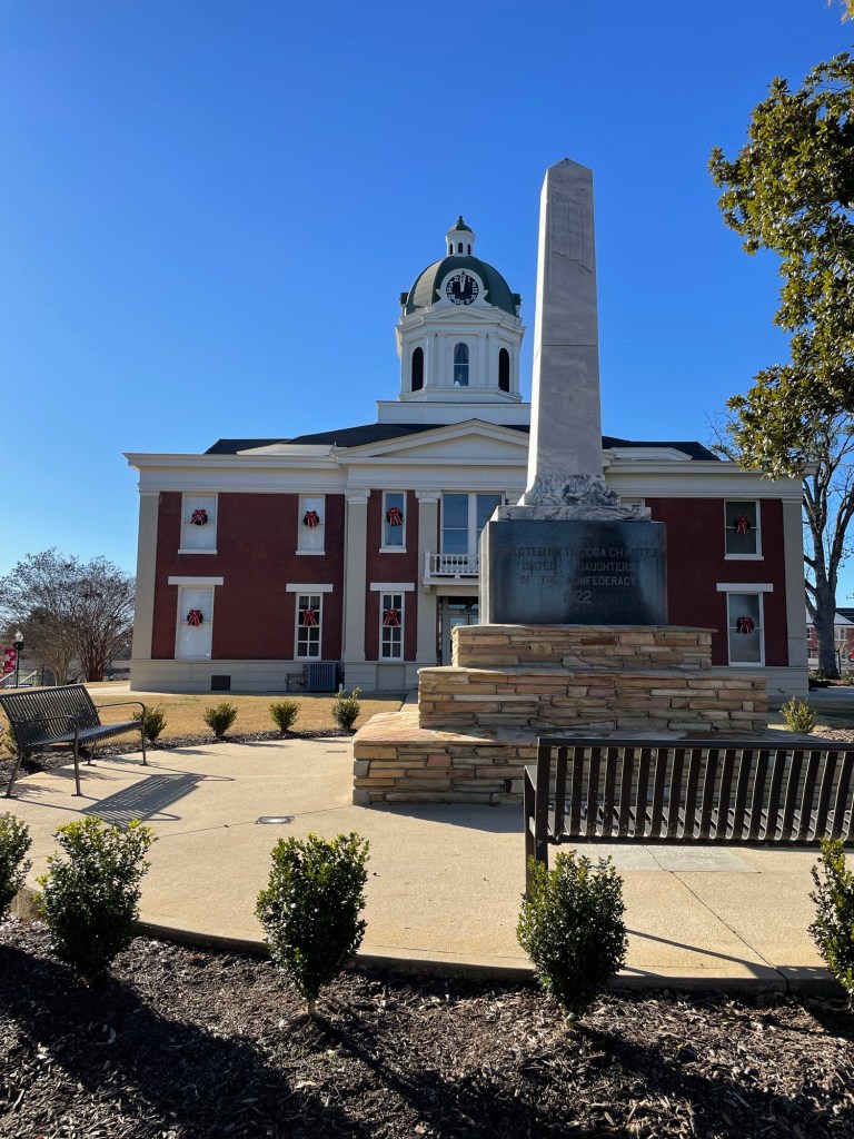
    Confederate War Memorial, 1922, placed by the United Daughters of the Confederacy, in front of the Stephens County Courthouse (named for A.H. Stephens, VP of the Confederacy).

    Yes, we’re going to talk about that most Southern of elephants in the room. No, I don’t really want to, but it feels deceitful to ignore it.

    Being from the North, we also appear to think differently about one of the most pivotal events in United States history, the Civil War (1861-1865). Obviously, Jeff and I expected to come at this piece of history from a Northern perspective, but I don’t think either of us were prepared for the deep veneration of the Confederacy that we saw the last couple of months. Perhaps veneration isn’t the best word for it, but it’s the closest I can find at the moment. (Then again, considering how many things we’ve seen that flag or the word Rebel on, perhaps it is correct.)

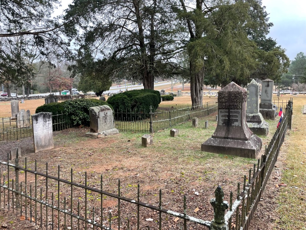
    Three CSA headstones. In other sections, metal Confederate Soldier of America markers identify local men who perished, including all six sons from one family.

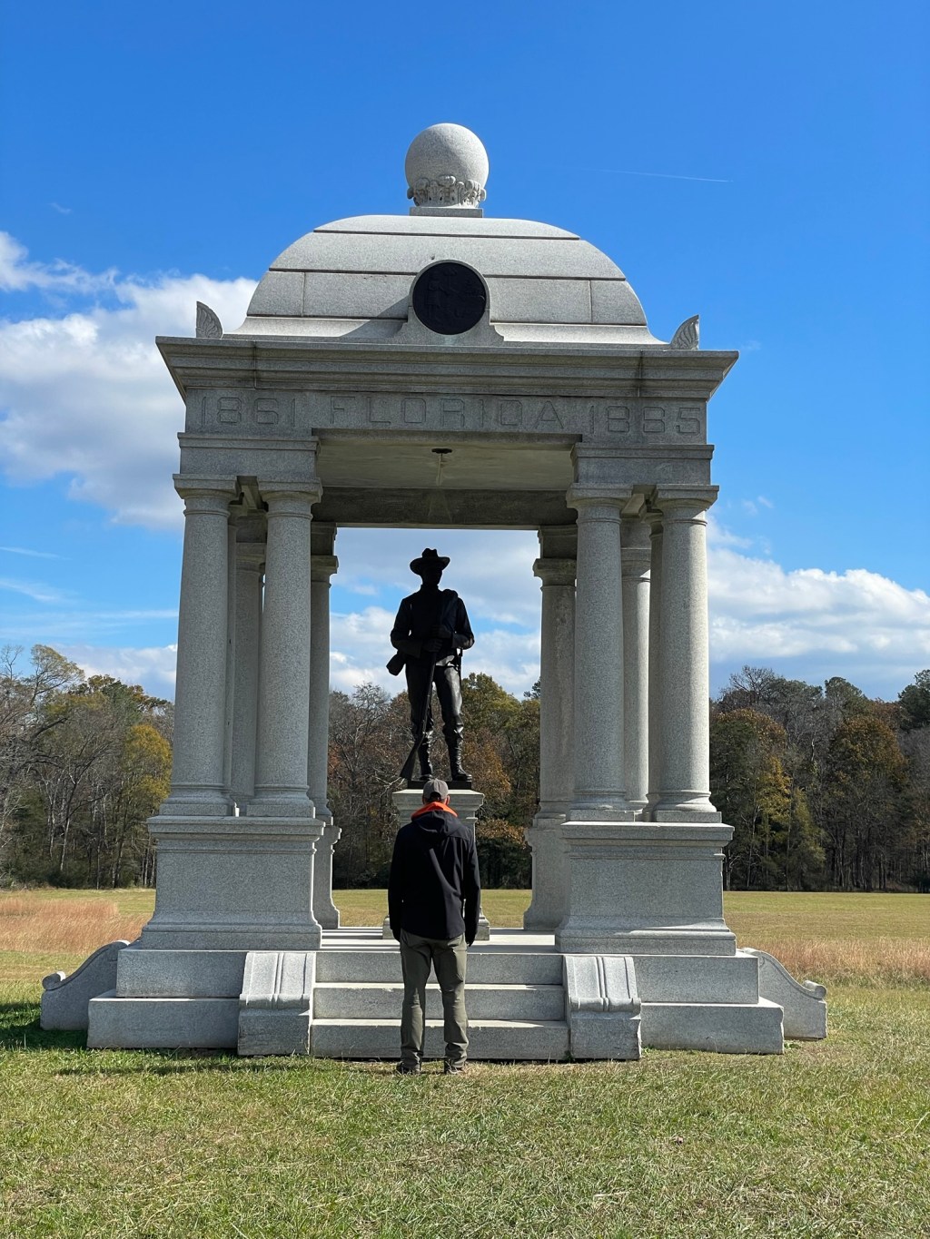
    Even the terminology used down there varies, and as we know, the words we use scaffold our thoughts. While I never heard it called anything but ‘The Civil War’ growing up, in Tennessee, Georgia, Florida, and the Carolinas, it was usually called ‘The War Between the States,’ ‘The War for States Rights,’ and ‘The War for Southern Independence’—even on recently made plaques. A few times I even saw ‘The War of Northern Aggression,’ and Ho Boy, that really made my eye twitch.

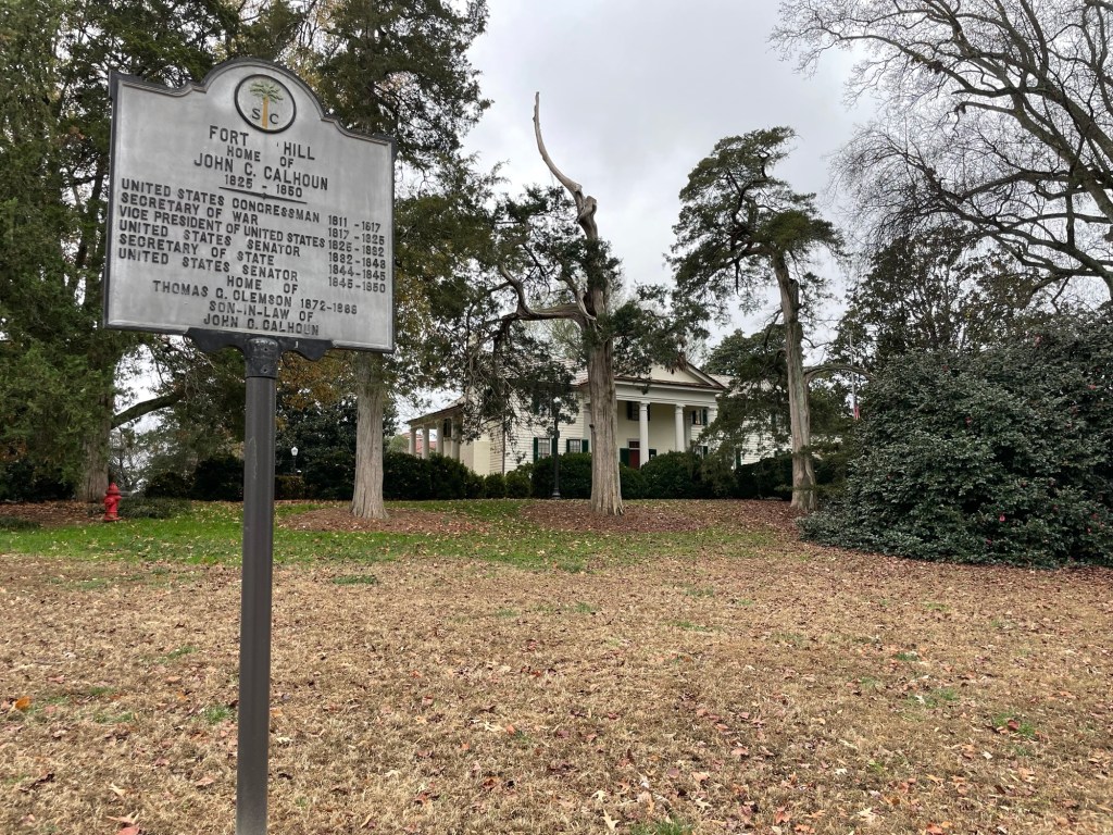
    Fort Hill was the home of John Calhoun, VP, South Carolina Senator and Statesman of the USA proposed the idea of Nullification (1832), which decades later gave rise to the idea of secession amongst the southern states.

    Now these differences aren’t be too surprising, even for a couple of Northerners. South Carolina is known as the Birthplace of Secession after all. (I read a very good book about that, by the way, if you’re interested in the topic. See my reading list page for the title. December-ish?) Georgia pushed for the idea almost as hard and was home to many key players in the Confederacy.

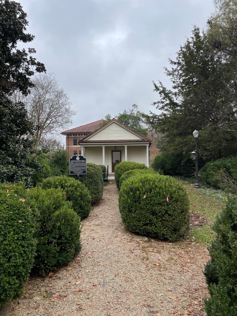
    Calhoun wrote his treatise on Nullification (advocating the idea that states could declare federal laws unconstitutional and refuse to enforce them) in this backyard office.
    Calhoun’s son-in-law, Thomas Clemson, former ambassador to Belgium, gave the Fort Hill home, lands, and funds to found Clemson University.

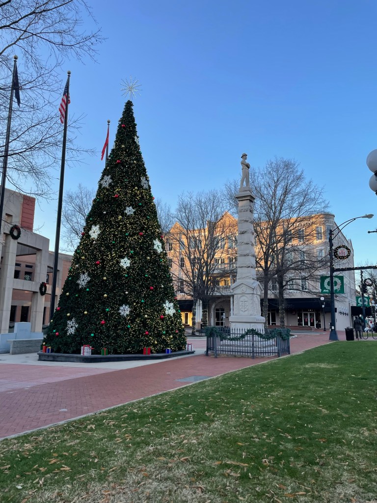
    The early 1900s and, interestingly, the mid-1950’s seem to have been when the bulk of Confederate statues, obelisks, and columns went up. They memorialize the town’s patriotic soldiers, its glorious dead, and its honorable role in the war effort. Every small town of any size has a monument in the middle of town. (On a snarky note, it’s amazing how many towns lay claim to helping President Jefferson Davis flee after the fall of Richmond, in order to fight another day. Like seriously, they couldn’t have all hidden him and given him a fresh horse, could they?)

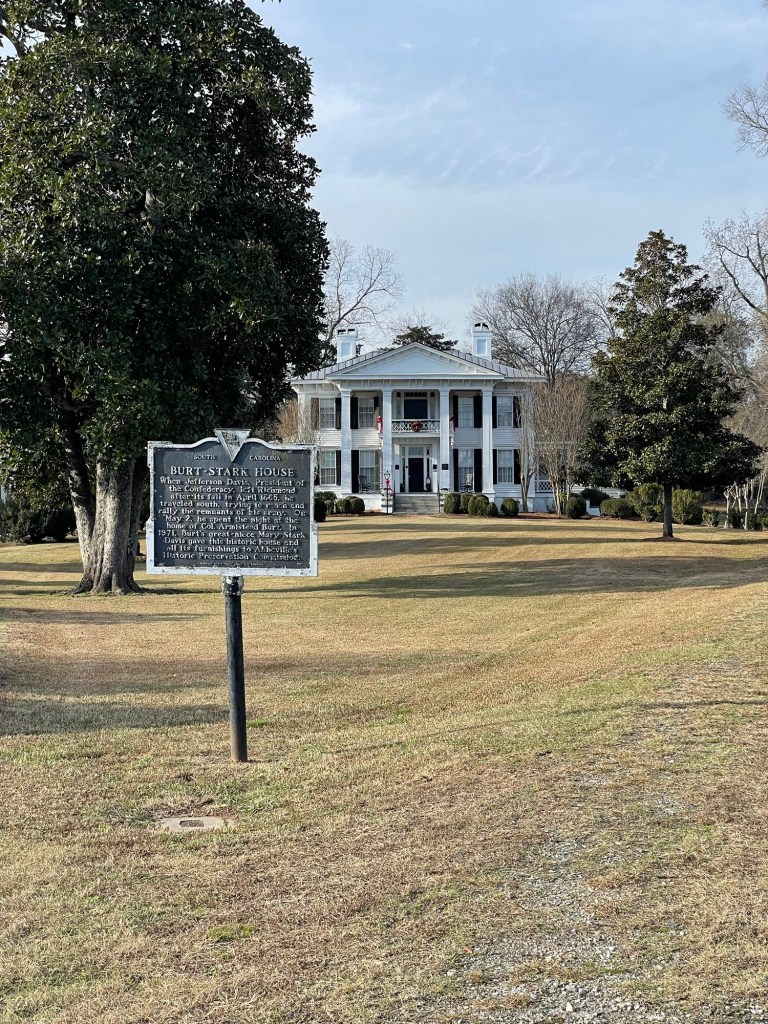
    Burt-Stark House, Abbeville, SC. Jefferson Davis stayed here on May 2, 1865, as he fled from Richmond, Virginia

    I understood the timing for the turn of the century. A few decades had passed. Emotional scabs had faded into scars. Soldiers, politicians, and traumatized everyday citizens from that period had grown older and were starting to die of natural causes. And as the economy of the South recovered and reinvented itself, the pain, destruction, and deprivations the war brought were probably beginning to soften in people’s memories. Nostalgia is a powerful anesthetic. Ask a mother about the pain of childbirth or a marathoner about the misery of mile 22. You’ll get vastly different answers, depending on if you ask them immediately following the event or decades later.

    But what, we asked ourselves, was going on during the mid-1950’s that might have led to a re-glorification of the Southern Confederacy on such a massive scale? Well, there was school desegregation legislation (1954), Rosa Parks got arrested and bus boycotts in full force (1955), the entire nation was visually confronted by the violent racism endemic throughout the Deep South (Emmett Till 1955), as well as a growing demand for basic civil rights nationwide. Maybe I’m jaded, but I’d say there just might be a link.

    The monument above (early 1900s) includes this passage on one side:

    “The world shall yet decide,
    in truth’s clear, far-off light,
    that the soldiers who wore the
    gray, and died
    with Lee, were in the right.”

    Yeah, no.

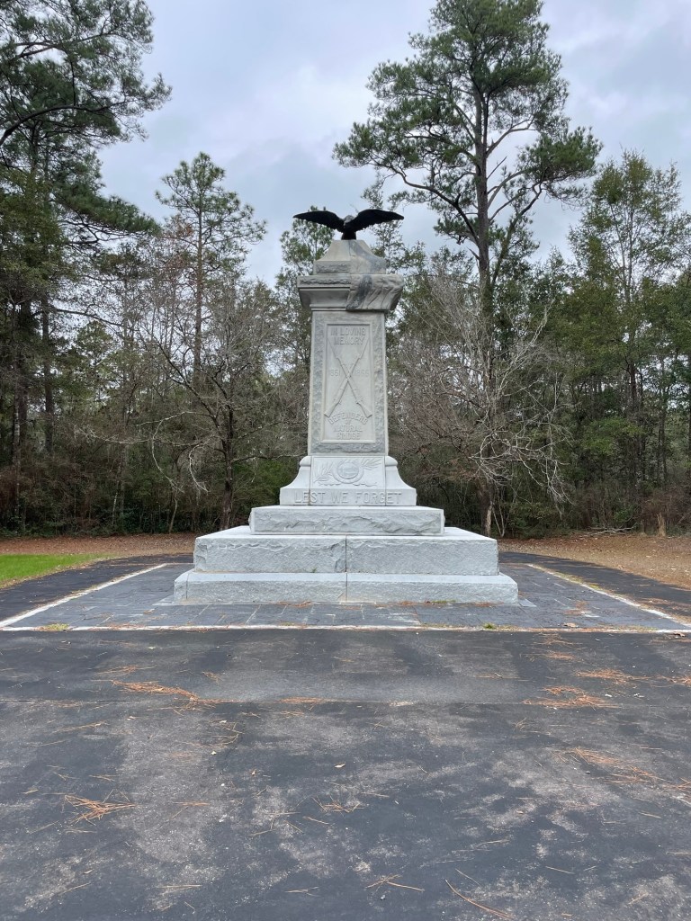
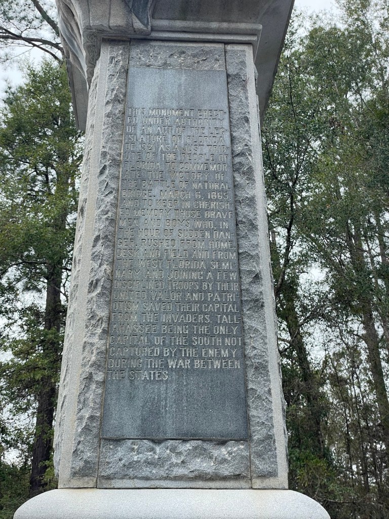
    We stopped for a snack and a break on our way from Georgia to the Florida Panhandle and visited this little park and monument from 1921.

    While roaming around the site above, a volunteer came by to describe the battle and tell us about their annual re-enactment events. His language was full of the, by then familiar, Lost Cause tropes, States Rights (vs slavery) justification, and the superiority of its local Military Cadets against seasoned (and exhausted) troops. He was a gregarious man, kind and welcoming, but a bit too full of the Stars and Bars veneration for my taste.

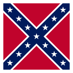
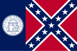
    In case you’re thinking that progress always moves in a straight line, let’s look an example of the longevity of Confederate-style racism from, of all things, the 1997 film adaptation of Midnight in the Garden of Good and Evil. Excellent book; decent film. Some soon to be big names in it. In the film’s courtroom scenes, you see a flag next to the judge with the Confederate Battle Flag on it. Hello, what?! That sent me down a rather ugly Wikipedia rabbit hole.

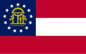
    In the mid-1950s, Georgia’s lawmakers were “entirely devoted to passing legislation that would preserve segregation and white supremacy,” reads a Georgia Senate report from 2000. Indeed, John Sammons Bell said he designed the 1956 flag to honor the Confederacy and supported its adoption in defense of Georgia’s many institutions. You know, things like Jim Crow laws and racial segregation. Classy. He later went on to become a judge on Georgia’s Board of Appeals, because why wouldn’t you want such a fair and impartial guy deciding people’s fates?

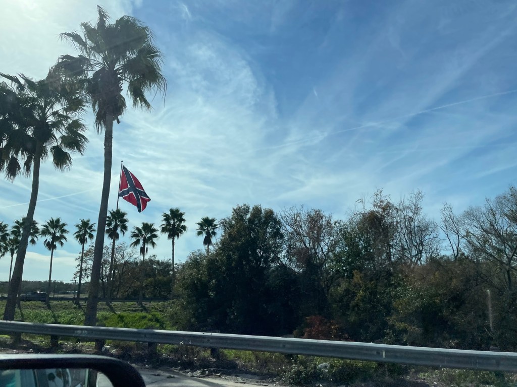
    A really gigantic Confederate Battle Flag next to the highway in Florida, north of Tampa

    We have a long way to go as a nation and, in my opinion, we’re decidedly going in the wrong direction at present. I have to wonder, at what point do we stretch the ties that bind us so far that we go beyond their ability to rebound. We may soon find out.

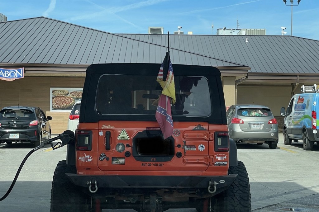
    This guy and I have very different ideas about what it means to be patriotic

    ***

    Thanks for making it this far. I promise the next post will be much more upbeat.

  • Welcome to New Hampshire, The Granite State

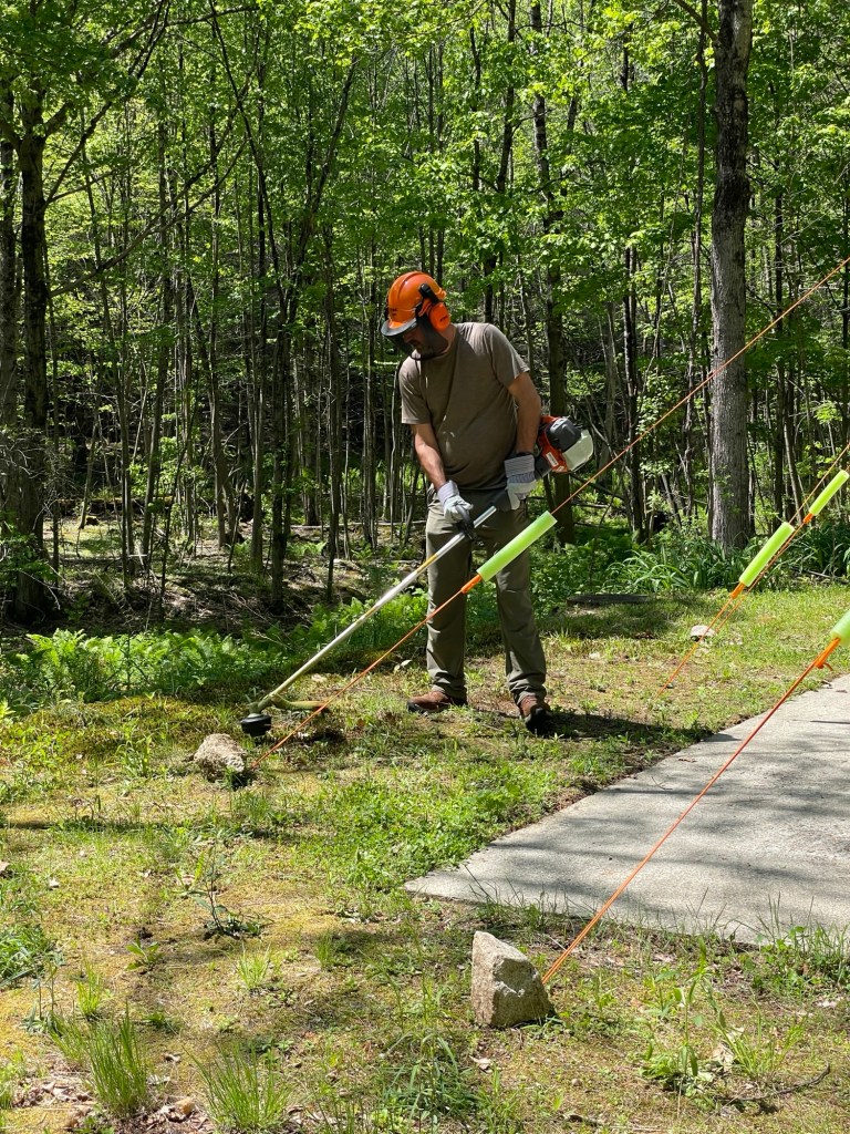
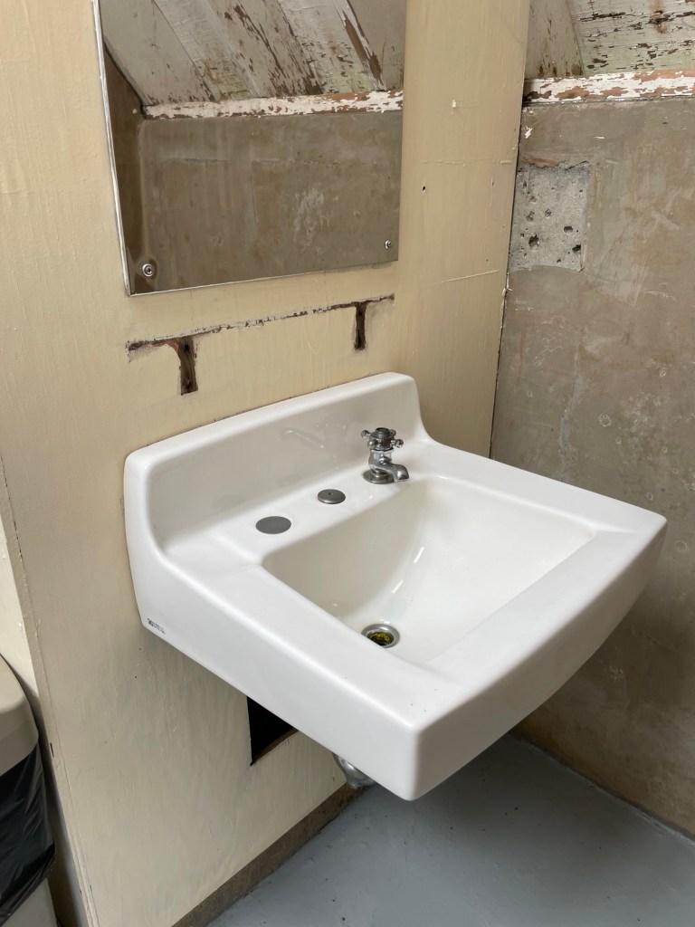
    We’ve arrived and settled into our next few month’s camping site. The Army Corps of Engineers’ Project Manager and Rangers have been very welcoming and helpful, seem thrilled to have teamed up with us, and feel certain that this is going to prove to be a good fit for both sides. After two days, the required paperwork is done, the weed whacker (and other task) training is complete, and a governmental vehicle has been assigned. Fancy, I know! We’ve already been put to work, as I was hoping, and gave the floor to the women’s bathroom a fresh coat of paint this morning—battleship grey. The men’s floor will get painted tomorrow.

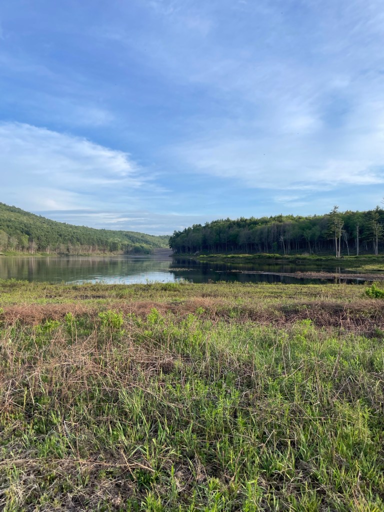
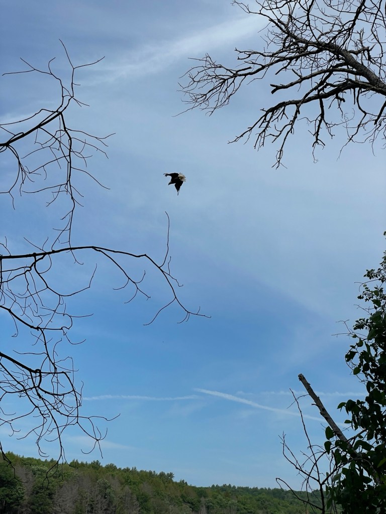
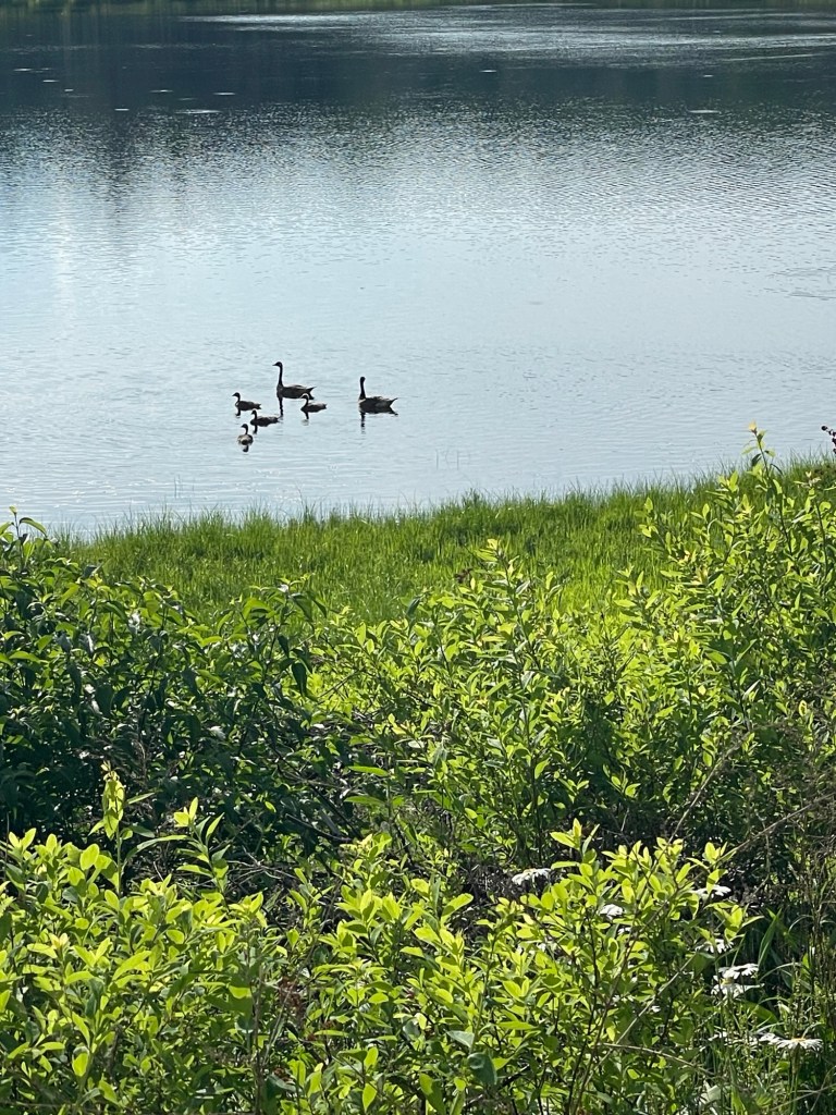
    Our lake (see how well I’ve settled in, it’s already our lake) is surrounded by woods and hills, with an abundance of wildlife. Jeff has seen and heard loads of birds already. We’re told that there are river otters in the stream leading to the lake, a few elusive moose in the eastern hills, and many red and grey foxes in the woods. We watched two beaver pull branches and twigs to their home in the wetland this evening and a lone eagle sitting near its nest. The summer Ranger saw a young black bear moving along the eastern edge of the lake this morning while watching for the big buck that he’s been keeping a covetous eye on. This is going to be a good place for animal sightings.

    A good morning view

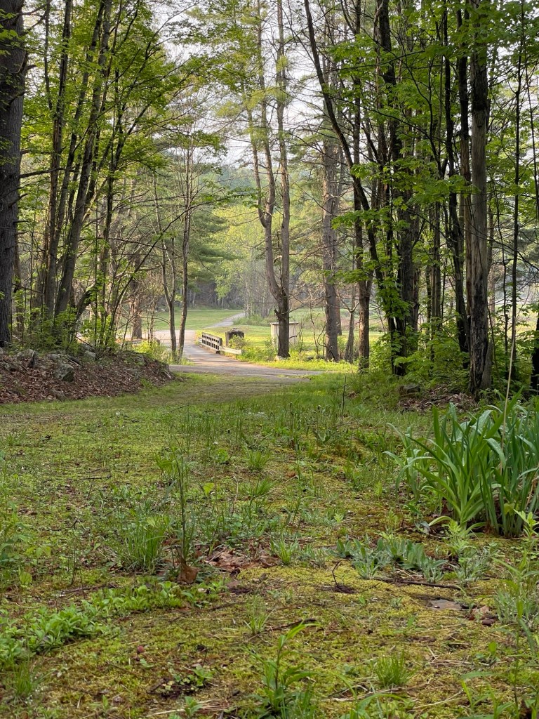
    We’re fortunate to have this lovely view from our assigned campsite. I think it’ll be nice to watch the months pass across that little bridge.

    While I still want to tell you about those Civil War battle fields and our two weeks between Gettysburg and New Hampshire, for now I’m going to relax and watch a movie before bed. Take care, and if you get a moment, drop us a text or an email. We love hearing what you’re all up to as well.

  • Appomattox Court House, Shenandoah & Washington, D.C.

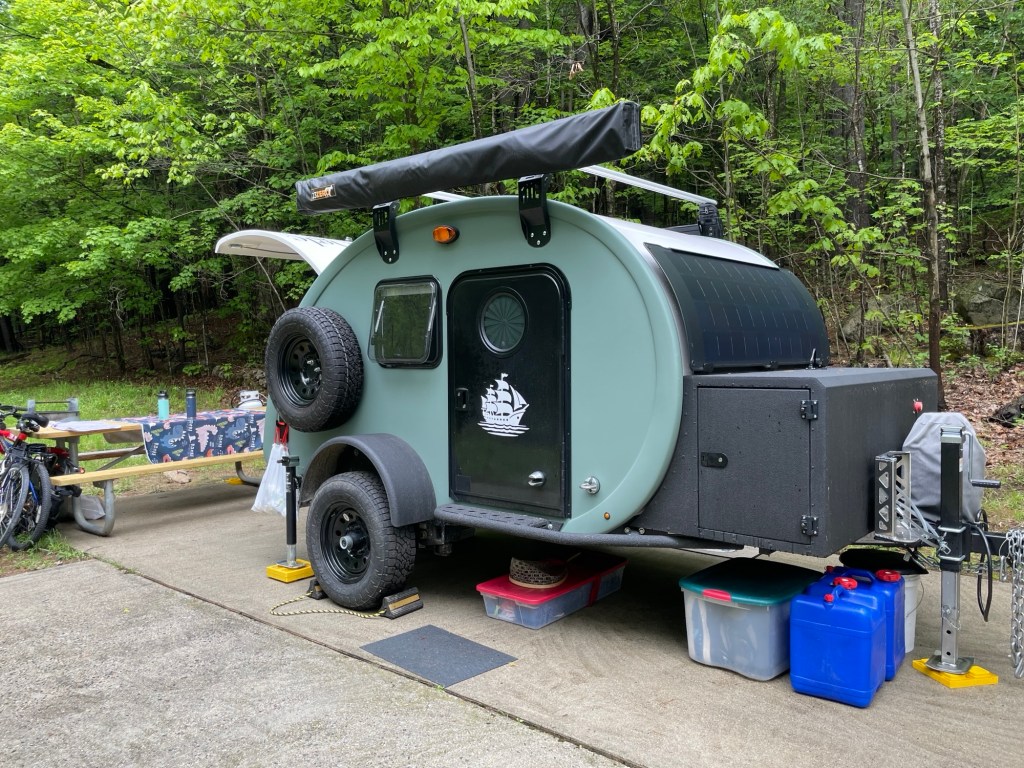
    Hi, I’m Jamie, he’s Jeff, and we’re traveling full time in a small teardrop trailer we call The HMS Beangle. Ok, it hasn’t been that long since my last post, but it’s definitely been a minute.

    The last few weeks have involved much reading, much relaxing, and some very wonderful days spent camping with Bob and Pam (of the Airstream) — friends from back in the day. You may remember them from one of my very first posts, back in May 2025. I’m also trying to make sense emotionally of our visits to three major and a few minor battlefields, but I’ll address all that some other day.

    You know it’s going to be good when each campsite has a bear box

    We arrived at one of the prettiest campgrounds we’ve seen so far, Sherando Lake Recreation Area in the George Washington & Jefferson National Forest, a few days before Pam and Bob, so we impatiently bided our time by heading over to Appomattox Court House National Historical Park and, as has become our habit, stayed far longer than we expected to.

    As I mentioned from our trip to Bennett Place in North Carolina where General Johnston surrendered to General Sherman, the Civil War didn’t stop with General Lee’s surrender to General Grant, but it couldn’t continue much longer either. You could say it was the psychological end of the Civil War.

    While it’s an absolute shame historically, it’s no huge surprise that neither Southerners in general nor the State of Virginia in particular took any interest — at all — in preserving the site or the buildings associated with the Army of Northern Virginia’s surrender. In time, fire, abandonment, and rot did the work of physical erasure, leaving only a few original buildings standing.

    After WWII, the National Park Service rebuilt the village’s central structures with the help of records and photographs, and the few that did survive were restored. As a result, the story of those fateful few days is available to modern visitors.

    After laying down their arms and swearing to not resume hostilities against the U.S., each surrendering soldier received a personalized parole pass that authorized safe passage across Federal lines, the right to daily rations en route, and travel on Federal trains as he traveled home. In addition, any soldier in possession of his own horse was allowed to take it home to assist with spring planting.

    Since Bob and Pam had picked the Sherando Lake campground in part due to its proximity to Shenandoah National Park, we knew we would drive a chunk of Skyline Drive (the northern continuation of the Blue Ridge Parkway) and explore the area a bit. As we all wanted to do a bit of hiking as well, Pam did some sleuthing and recommended a trail on Bearfence Mountain. She mentioned that it had a 360° overlook and involved some scrambling. That it did. As we scrambled up and over boulders, creeped along a rocky ridge line, and slid down rock faces, I had moments where I wondered if she was actually trying to kill us all off. Bob’s photos (below) give you an idea of what we encountered.

    Leaving Sherando a few days later, Jeff and I took the all freeways route to our campground outside of Washington, D.C. while Bob and Pam pulled the Airstream through the rest of Skyline Drive’s twisty, turny route to check out more of the park, meeting up with us a few hours later. Part of me wanted to see more of what Shenandoah had to offer, the other part wanted a break from the twisty, turny roads we’d been driving for the past several weeks. As driver, Jeff definitely wanted a break from them. Near the end of our drive, we were reminded that Google Maps needs a “pulling an RV” button in their settings. Following its directions in a rather busy area outside of Dulles Airport where we were going from one freeway to another, the our directional overlord put us in the express/HOV lane of the exit ramp instead of the regular lane. Unfortunately, once in it, you can’t get off until it ends. Fun fact: Trailers are prohibited in express/HOV lanes. That was a jolly fine when the toll bill came. Lesson learned.

    We spent little time in the Capital, but our single excursion into the nation’s city did bring with it some enjoyable finds. On the train there, it didn’t click that going on a Saturday would mean the National Mall and the more famous museums would be chockablock full of additional tourists, but full it was. A fundraising walk. A demonstration. Just a lot of everyone. Everywhere.

    Seeing lines snaking toward a few buildings, we headed to the National Museum of the American Indian. There was no line at the entrance which made the choice for us, and a wonderful choice it was. We started off by watching a group of teenagers perform several traditional dances in the public performance area. This visually stunning building has four floors full of displays, artifacts, information, and history. I think we all found them very thought provoking and well-curated. A nice feature in the treatises exhibit were the plaques denoting the Indigenous (left side) and Colonial/US (right side) points of view about each treaty. That is, what did each side wish to gain or preserve and how did they act. The result of the treaty was displayed between them. You can probably guess how things generally turned out.

    We enjoyed the relevant films, and the bookstore and cafeteria areas. I had the cookie made with only pre-European ingredients—no gluten, dairy, or soy—and it was excellent. 10/10 would eat again. Bob made a seed ball of regionally appropriate wildflowers at a temporary exhibit table. Again, hours passed by far quicker than we all realized.

    I’m not including any photos of the on-going travesty happening to and near The People’s House because, frankly, it pisses me off. Don’t take my anger or concerns seriously? Read the history-rich and impeccably documented, Strongmen by Ruth Ben-Ghiat, if you want a better idea of where we are as a country currently and where we’re headed. She lays it out better than anyone. I’ve said it before and I’ll say it again. We’re not special, and we aren’t immune. The USA sits on a fraying thread. November is coming up fast, my friends.

    Moving on.

    Bean Trailer clearly knew from experience that some hold-alls next to our sleepy heads were going to be needed. Jeff’s side is much neater than mine. Always. Both hold our e-readers, water bottles, keys, glasses, watches, and book lamps. Mine holds more: medicine, pens, visitor guides, hair ties, the lot. I’m consistently impressed by how much thought has gone into the small details of this trailer.

    ***

    Our summer hosting gig starts next week. Next week! We’re currently sitting in a water-logged bog DBA (doing business as) a campground in central New York state. It’s privately owned and operated (term used loosely), and we only chose it because the publicly owned campgrounds weren’t yet open for the season when we arrived. We’re the only non-seasonal (annual site rental) people here. We might as well have a second head and third arm apiece we’re so out of place. Another lesson learned.

  • Southwest Virginia — Lots of photos, a bit of chat, some local history

    Beginning six weeks ago, we met a new nemesis, a very demon from hell sent to test our patience. We fought it valiantly, and I believe we finally have the upper hand. For this spring, at least. Remnants remain, though, in nooks and crannies of the trailer, the truck, and our lungs, eyes, and souls.

    Pine tree pollen followed us for six weeks

    Both Fairy Stones State Park and Hungry Mother State Park were named for local folk tales.

    After an unusually cold and snowy winter, Virginia is awake and warming with most days in the 70s and even the 80s. Mushrooms are growing by the day, wildflowers are popping up everywhere, and all but the slowest trees — looking at you, oaks — are either in bloom or in leaf.

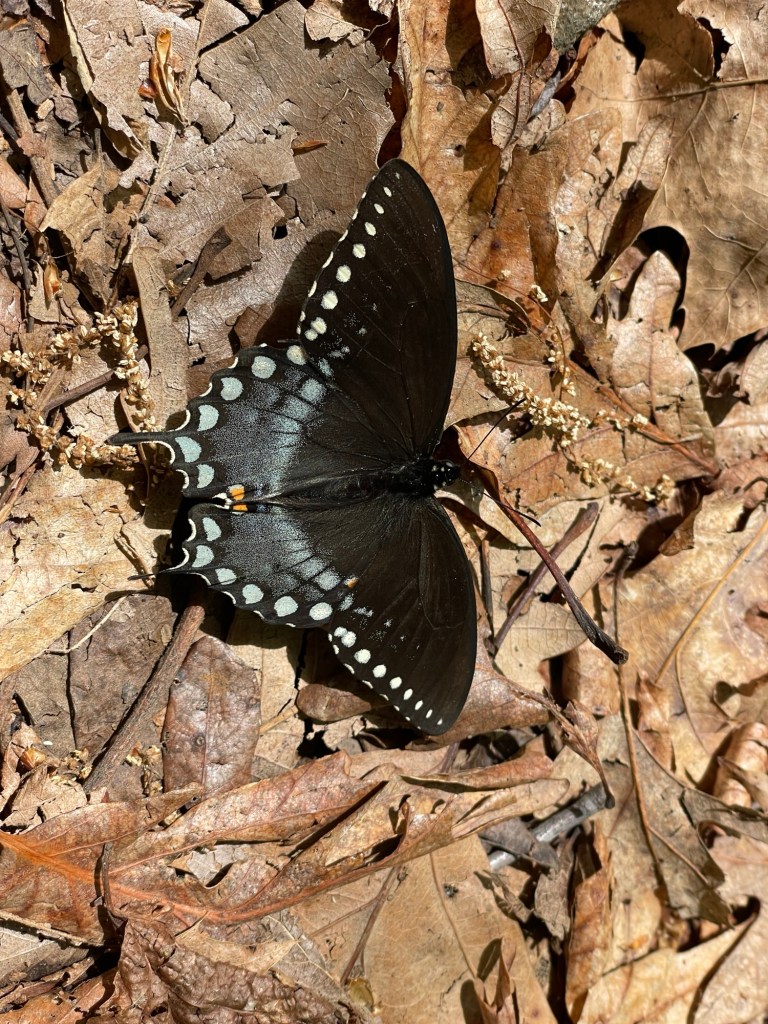
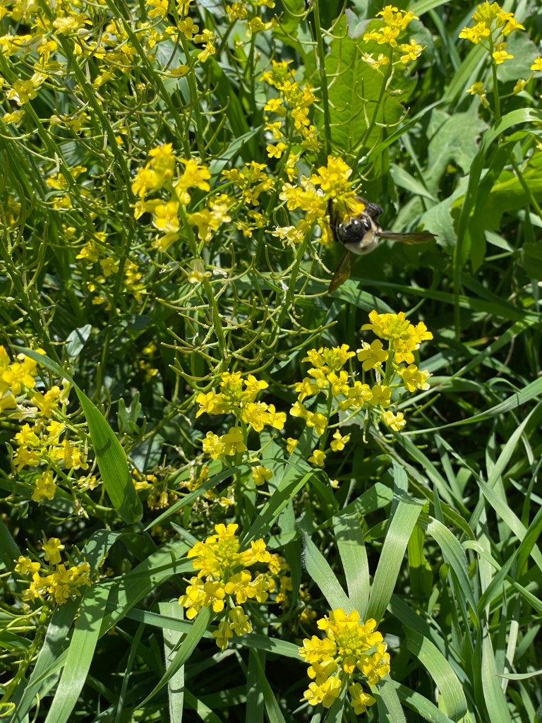
    Jeff and I spent an inordinate amount of time watching butterflies and bumblebees at Fairy Stones, especially the ones sipping nectar from a blooming Azalea bush near the park office.

    An excellent example of a south-facing owl hole

    Our day-to-day routines are well established by now, with only slight modifications based on temperature. If we aren’t out exploring local towns and sites, we’re hiking the local trails. We hiked all the trails at Fairy Stones but only half of Hungry Mother’s, as they were much longer and involved much more climbing.

    Jeff’s ankle got through nearly seven miles without so much as a snack break last week, while the similar distanced trip up to Molly’s Knob (Hungry Mother’s highest peak) two days later necessitated several water breaks and two snack stops. You just never know. For the most part, we feel challenged without being unduly miserable on an All-Trails Medium or a state park Hard trail these days. Distance is always going to be a factor for Jeff’s dodgy ankle. If only we could go back to that blasted soccer game 37 years ago and have him sit the play out!

    We drove a bit of the nearby Blue Ridge Parkway and stopped at a few historic spots along the way. Unfortunately we were too early in the season to visit the Folk Music Visitor Center. This was a true pity as we’re both learning instruments associated with Appalachian folk music. Some of the nation’s best banjo and mandolin players have lived and played in these very hill towns!

    Sherry asked me if we had any trouble following the trails, knowing where they turned, etc. No, and I have to give the state park systems out here a lot of credit. They do a great job of sign-posting and color-coding. On the park’s paper maps, every trail has a name, color, and sometimes a shape assigned to it. Just follow that combo at the intersections and the colored blazes painted on the trees — and be prepared for some amazing views.

    Please don’t be like the lousy pet owner who left a used and open dog poop bag next to a dam spillway. Don’t worry, I packed it out.

    As the name suggests, there’s a lot of salt under the town of Saltville. Indeed, the area has been a source of the essential mineral for thousands of years. But during the Civil War, it became nearly the only salt mine for the entire Confederate States. Everyone needed it for personal consumption, of course, but it was considered even more vital for its role in preserving meat for soldiers that were constantly on the move. All but two Confederate States relied exclusively upon Saltville and kept mining operation teams working year-round. Because of its essential role in supplying the Confederacy, it was a perpetual target of Union troops. After two battles late in the war, the Union succeeded in taking Saltville. It was a particularly devastating loss, in a time of many devastating losses.

    Seriously, the school district’s mascot was a salt shaker. Remember folks, Stay Salty!

    Let’s step even further back in time.

    Back in the colonial era, the Appalachian Mountain range was the western edge of America’s British-held region, and Great Britain had no immediate plans to expand beyond that. In fact, Colonists were expressly forbidden from settling in the aptly named Indian Territory. One of the lesser talked about draws for the American Revolution was the fact that people living in the original colonies, men like George Washington and Daniel Boone, had been eyeing all that virgin timber, fertile soil, and abundant wildlife west of the Appalachians for some time. Some, like Washington, even went so far as to covertly survey the land to facilitate making a claim on their preferred sections the moment they legally could. Others like Boone, simply crossed the Appalachian Mountain range and squatted on the land, assuming the old adage “Possession is 9/10ths of the law” would hold true when push came to shove.

    Before and at an accelerated pace after the American Revolution, when settlers from Europe and the colonies began to really swarm across the land, the Old Wagon Road was the ox-drawn highway of its day. Wagons with all a family’s worldly goods crossed through and into central and western Virginia from the late 1700s onwards. The 1890s era Settler’s Museum of Southwestern Virginia (with a section of the Appalachian Trail running through it) educates visitors on settler life, with an emphasis on the role of migration at a farm that was already a century old in 1890.

    We walked a little stretch of the Appalachian Trail

    The emigration exhibit showed how every immigrant group has faced its own stereotypes and pushbacks. Even the ones about my own whitey-white-white ancestral heritage, those good immigrants we hear so much about nowadays, weren’t always thought of so highly.

    In Wytheville, we saw something that made our heads swivel.

    Wait… this looks familiar
  • Bennett Place

    Our time in Raleigh while interesting enough in its own way was fairly quiet overall. But of all that we did and saw, the biggest draw for me was Bennett Place. For some time now, it had been in my top five list of places to see.

    It might be small in space, but it’s oversized in history and significance.

    In the front room of the Bennett family farmhouse on the Hillsboro-Durham road, just a few days after General Lee surrendered to General Grant at Appomattox Court House, General Joseph E. Johnston requested a meeting with General William T. Sherman to discuss surrender terms. After an initial agreement that was annulled by the White House and Congress for being too lenient, they later redrafted and signed terms which echoed those of Lee and Grant, effectively ending the Civil War.

    Imagine looking out your front door and seeing two of the most important people in your world standing before you. Now imagine heading to your (outdoor) kitchen so that they can discuss the most important issue of the day in privacy. This everyday family, who had lost both of their sons and their only son-in-law in the conflict, must have realized that history was being made before their very hearth.

    The firebrands of the South declared that any conflict resulting from secession wouldn’t last more 90 days. Pundits in the North announced that the rebels would be back in the Union after the first major battle. (Sound familiar? Pick a war, any war.) Instead, it took four long and bloody years with more than 600,000 combatants dead before the end came. The civilian cost was equally as painful in terms of families destroyed, and for the South, widows and children left destitute and an economy in tatters for decades.

    The worldwide war machine feeds on other people’s children, and its appetite is insatiable.

  • Drive it, hike it, bike it

    A lot of people out West like to talk smack about the Appalachians and other eastern mountains, and we admit to it as well. But after spending almost 4 months at or near sea level, it was a little thrilling to see the word Mountain in a campground’s name again. While hiking, biking, and driving around Morrow Mountain State Park, Jeff happily called out our elevation as we hiked, noting the difference between our highest and lowest points afterwards.

    It was nice to look down onto a landscape again

    Morrow Mountain, the park’s highest peak, comes in at just under 1,000 ft. Yes, that’s barely considered a culvert back in Colorado, but we felt a bit of burn in the glutes and thighs getting back to it after so long in the low country. Cycling up some actual inclines definitely felt strange, too, after so much time just cruising around on flat ground.

    Morrow Mountain Overlook: A lovely picnic area with a view

    We heard that there was going to be a prescribed burn in the park, so we hiked the Sugarloaf Mountain Trail to get a better look at it. While up there, we realized that there was not one, but two local burns going on: the Falls Mountain trail area within the state park and another in the Uwharrie National Forest across the Pee Dee River. (And yes, that’s the same river that the city of Cheraw, South Carolina is on.) Morrow Mountain State Park sits right at the junction of the Pee Dee, the Yadkin, and the Uwharrie Rivers.

    The park’s prescribed fire, with the Uwharrie fire behind it
    The colors popped so well on foggy mornings. It made the scenery look like a film set.

    Walking back from the bathrooms, the most luxurious campground bathrooms I have ever seen, Jeff noticed our camp neighbors staring at and taking photos of a loblolly tree’s trunk. I didn’t think anything of it, because frankly this couple was, how can I say this, a bit insufferable. Well, he was. He was loud in a know-it-all way, constantly had music playing on a Bluetooth speaker, and seemed to be on his phone more often than he wasn’t. He also walked around in a sweatshirt that had Assholes Live Forever on the back of it. I don’t know, maybe he was trying for immortality? The only thing missing was one of those stupid Cyber Trucks for him to be the 2026 Tech Bro poster (man)child. Jeff thinks they were on a date or at least hadn’t been together very long. If so, all I can think is, ‘Woman, runnnnnn.’

    Tl;dr I did not like him.

    What they were looking at was this brand new Luna Moth drying itself before it could fly away.

    Morrow Mountain has an excellent concentration of metamorphic rhyodacite stone chips — the leftovers from making arrowheads, cutting tools, adzes, and other sharp and pointy things — from prehistoric quarries around the park’s hilltops. The products quarried were of such high quality that the local indigenous population traded them up and down the Eastern United States. I spent a good part of our hikes looking for the telltale piles.

    Those are some good rocks there

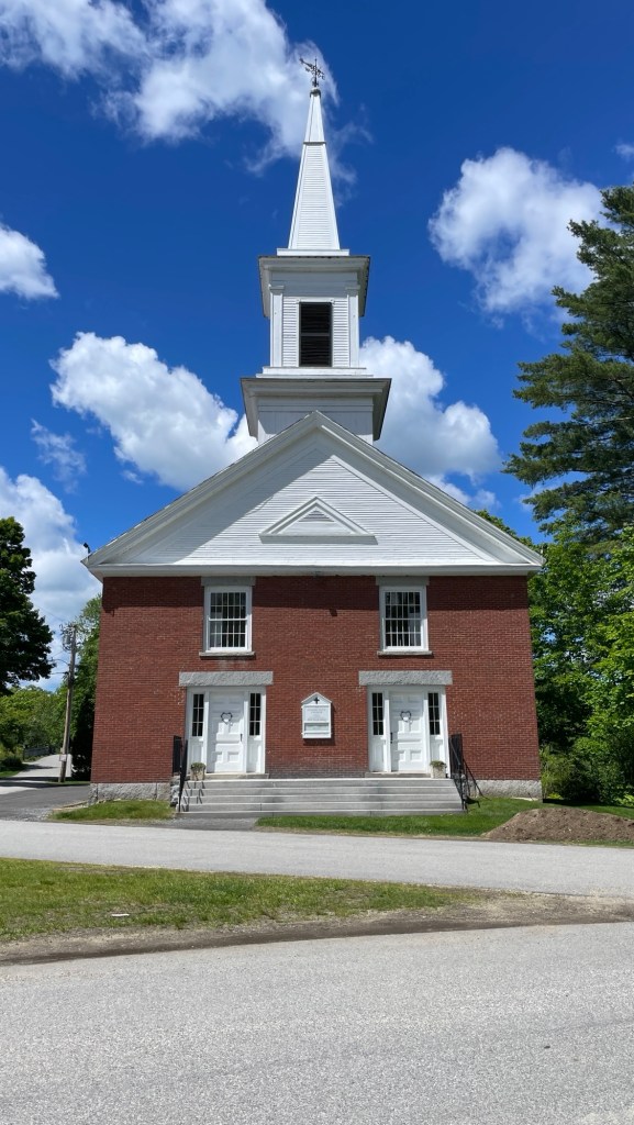
    While we spent most of our week within the Park’s boundaries, we did wander out twice. One morning we ran some errands in the small towns of Albemarle and Badin. Walking around, we began to suspect that some architect had made a killing selling a “unique” church design (below) in the region.

    We saw two of these right across the street from one another and another one only a little farther away. You just know that joker drove this little design trick straight to the bank.

    The other trip was to Charlotte to check out the colonial home of Hezekiah Alexander, finished in 1774. I find the symmetry of its Georgian design quite pleasing to the eye. Its two foot thick stone walls would have gone a long way to moderating the home’s interior temperature year-round. We were there on a fairly moderate spring day, so it didn’t really get put to the test while we toured it.

    The front facade, showing an herb garden and exterior kitchen beyond.

    A two story spring house took advantage of the consistent temperature and fresh, clean water emerging from a natural spring. It’s known that it acted as a refrigerator for fresh milk, cheese, and produce on the lower level, while the upper level is less well documented. Seeing that it faces the old main road, there is some argument that the upper level probably acted as a farm office or store front.

    The home housed Mr & Mrs Alexander, their ten children (7 boys, 3 girls), and even a boarder from time to time. It has been restored to approximate some prints, descriptions, and drawings of the house from its Revolutionary days. Something I found quite surprising was that the interior walls were nothing more than a single, thin piece of wood. Fancy wood, to be sure. But privacy? In little more than name only.

    On both floors, the house is divided into quarters, giving eight rooms total. There are two entrance/multi-purpose/storage rooms, a dining room, an office, and three bedrooms. There is also an attic and a basement that span the width and length of the house. This is a large house even today; but it was a true mansion in the 1700s. The house was considered so grand and ostentatious that it caused someone to write and publish a scathing poem about Mr Alexander’s assumed sense of self-importance. Harsh.

    Way back during excavation of a midden pit, a small piece of pottery was found and set aside. Later, a museum staff member took it upon herself to hunt out the pattern and place it within the timeline of the home. What she found was rather interesting. It’s an American made pattern created during the pre-revolutionary period in response to England’s trade and shipping laws. Self-described Patriot women discarded their British made ceramics in favor of American made sets to show their support for Independence. Eventually the museum was able to locate and purchase enough pieces to create a complete table setting for the museum home. It makes me wonder how many small archeological findings are sitting in storage right now, just waiting for the right person to put them into context.

    The kitchen- and garden-facing side of the house is the only non symmetrical wall. The staircase takes up the front half of the wall, but the back section (below) has this odd window combination. Can you guess what that little window was for?
    In a time without AC or efficient heating systems, opening the exterior door into the dining room meant things were going to get uncomfortable around the table pretty fast. As a workaround, this precursor to the drive through window let the cook quickly pass dishes to the person serving at table without changing the home’s temperature significantly. Clever, isn’t it?
    On our way to the campground near Raleigh, North Carolina, we decided to stop and see Guilford Courthouse National Military Park in Greensboro. It was the longer way, but worth the detour. Despite being a technical victory for the British as they controlled the battlefield when it was all said and done, Guilford Court House proved to be the turning point that ultimately led Cornwallis to disobey orders and leave the Southern Campaign. As the Americans melted back into the countryside, his troops spent a bit of time recovering before heading back north into Virginia. Eventually this led to Cornwallis surrendering to General Washington at Yorktown, effectively ending the war.

    In a mixed forest and fields environment, General Nathanial Greene had set two forward lines of local militia with a rear line of battle hardened colonial soldiers against the British force advancing on the main road. At the end of the day, Greene’s troops had reduced Cornwallis’ fighting force by a quarter, while sustaining less than a 10% loss itself. If I remember correctly, the final battle scene in The Patriot portrays The Swamp Fox’s (Francis Marion’s) militia as part of the first line, but don’t quote me on that.

    General Nathaniel Greene
    “We fight, get beaten, rise, and fight again.”

    Although on paper Greene lost all his battles, he proved to be a confirmed thorn in the side, and General Cornwallis understood Green’s brilliance, stating, “Greene is as dangerous as Washington. I never feel secure when encamped in his neighbourhood.”

  • The Rest of the (South Carolina) Story

    First and foremost, I have a grievous error to acknowledge. I have been misleading you all about Longleaf Pines for some time, and for that I apologize. What I often thought was a Longleaf (Pinus palustris) was instead a Loblolly Pine (Pinus taeda). I know. I know. It was a careless, but I also learned common, mistake. You can be sure that I’ve internalized the difference since that horrifying realization. A very patient and enthusiastic Ranger at Congaree National Park helped our tour group learn how to spot the differences. Again, take the Ranger-led tours. The most obvious difference is the size of their pinecones. Looking at the top of a Loblolly is like looking at a tree out on the African Savannah (such as the trees I saw on St George Island, Florida).

    A Longleaf’s cone is much bigger than a Loblolly’s

    A truly wonderful part of a Longleaf forest is the fact that they look like cartoonish Truffula trees from Dr Seuss’ classic The Lorax in their early stages. I mean, COME ON, look at them (below). But no matter the age, a Longleaf Pine has a definite pom-pom look to their clumps of long needles.

    Several early stages of Longleaf Pines

    Longleaf Pines were once the most dominant pine in the Southeastern United States, but they’re only found in small pockets in a couple of states now. Places like Congaree (which is a wetland and NOT a swamp, thank you very much) are actively trying to re-establish stands of them. This is a very good thing, as many animal and bird species are tied to the Longleaf Pine habitat for survival (such as, the Red-Cockaded woodpecker, Gopher tortoise, and Indigo snake). Due to decades of U.S. fire suppression policies, there has been very little new Longleaf growth, as they rely on fire to clear the forest floor for their pinecones to take root. Fingers crossed that there will be more maturing Longleaf Pines in the decades to come with the current practice of managed, prescriptive fires.

    The jury is still out on whether this was a rare Indigo snake or the more common Black Racer near the lake at Cheraw State Park

    Ok, I feel alright moving on now.

    We spent five weeks in the low country of South Carolina. If we include our time visiting the northwestern uplands while we were stranded in Georgia, however, we’ve spent more time getting to know South Carolina than any other state so far. Our assessment: it’s a beautiful, interesting, history-rich state with very friendly people. Of the southern states, it’s easily been our favorite so far.

    After Buck Hall, we stayed a week each at a trio of South Carolina State Parks. The first, Givhans Ferry, and last, Cheraw, were quite small, and the middle park, Santee, was rather large. I can’t say that I had an obvious favorite, but if forced to pick, it might be Cheraw for its quiet, out-of-the-way feel despite being close to two cute towns. But Givhans Ferry, also quiet, had by far the friendliest staff, volunteers, and other campers of the three. Having no cell signal encourages people to talk to each other more often, I guess?
    The nearby town of Cheraw has deep ties to South Carolina’s earliest history as well as to the Civil War. An early plantation region supplying the British Crown, Cheraw’s location on a major river later made it an essential part of the British line of defense. The town and region suffered greatly by that tie.

    Old St David’s Church, 1768, the last Anglican parish established in Colonial South Carolina
    One of several unknown British soldiers, identified by the pile of bricks they were buried under

    Later, during the Civil War, General Sherman’s entire army passed through the small town (named after the Cheraws tribe) during his march through the Carolinas, nearly 60,000 men in all. Can you even imagine? Fleeing the area, Confederates burned the bridge over the Pee Dee River, forcing Sherman’s troops to wait a few days while pontoon boats and additional supplies arrived by river. They must have been good to the troops, because surprisingly the town’s public buildings and homes weren’t fired by the Union troops as they left. A small central business district was destroyed when a captured Confederate munitions depot exploded, but that was unintended. As a result, a good number of pre-war homes in the town and surrounding area still survive.

    Cheraw’s real claim to fame, however, is John Birks “Dizzy” Gillespie. The jazz great was born, attended the town’s (segregated) school, and began to excel musically in Cheraw. Even at a time of deep segregation, Dizzy was so uniquely talented that he was the only African American musician asked or even allowed to play at the area’s all-white dances and social events. Although the family moved away for financial reasons some time after the death of his father, he clearly held affection for his hometown, as his chosen way of opening gigs emphasized:

    “I’m Dizzy Gillespie from Chee-raw, South Carolina.”

    On a whim, Jeff and I drove over to nearby Bennettsville and followed their walking tour. It’s remarkable how many little towns have put together something similar, if only you dig a bit. The town is definitely struggling, with many empty storefronts and homes falling into disrepair, but it’s still putting up a fight. I wish it all the luck in the world. Below are some of my favorite edifices.

    Jeff pressed his nose against the front glass of the local theater (formerly an Opera House and then movie theater) and got invited in for a tour. They were preparing for an upcoming youth performance. Break a leg, kids!

    In large part, though, we relaxed, read, and met our campsite neighbors. It’s so interesting to hear about the varied lives that people have lived. All three parks were on a body of water, so we spent an inordinate amount of time checking out the fish situation, watching the morning fog, and evaluating the presumed water quality. All three campgrounds also had a camp kitty — skittish, hissy, and friendly respectively.

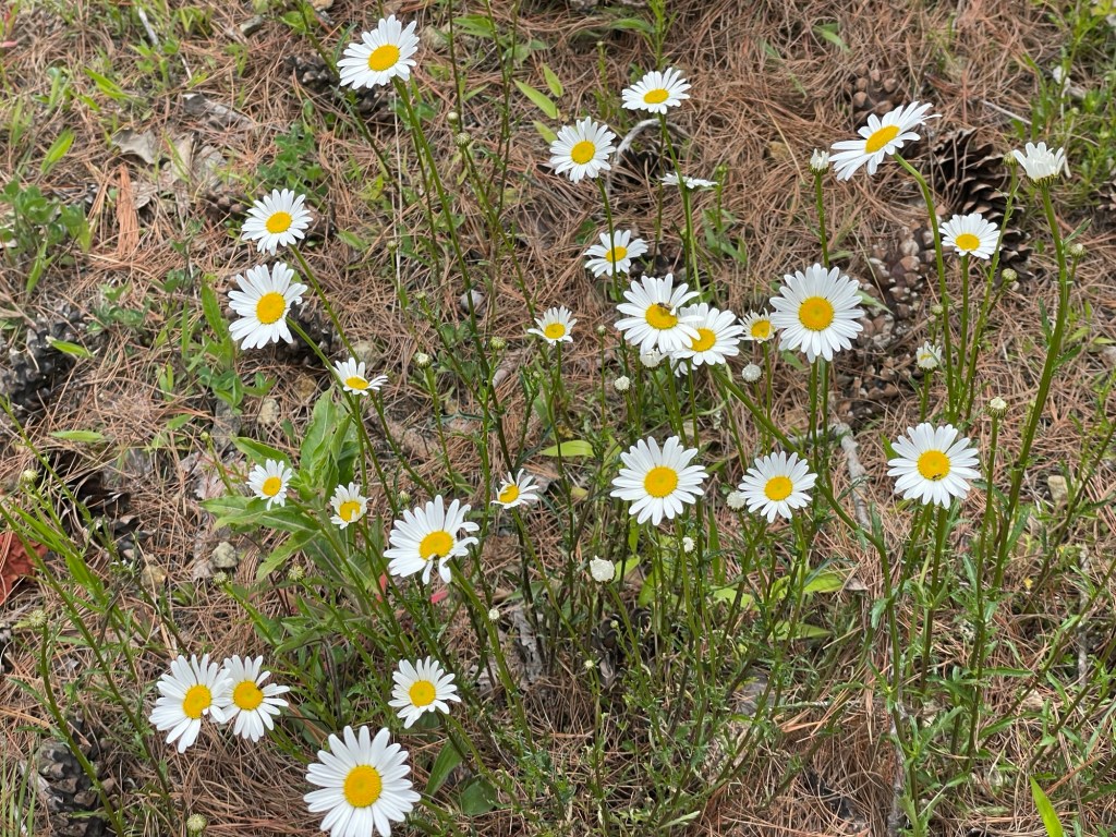
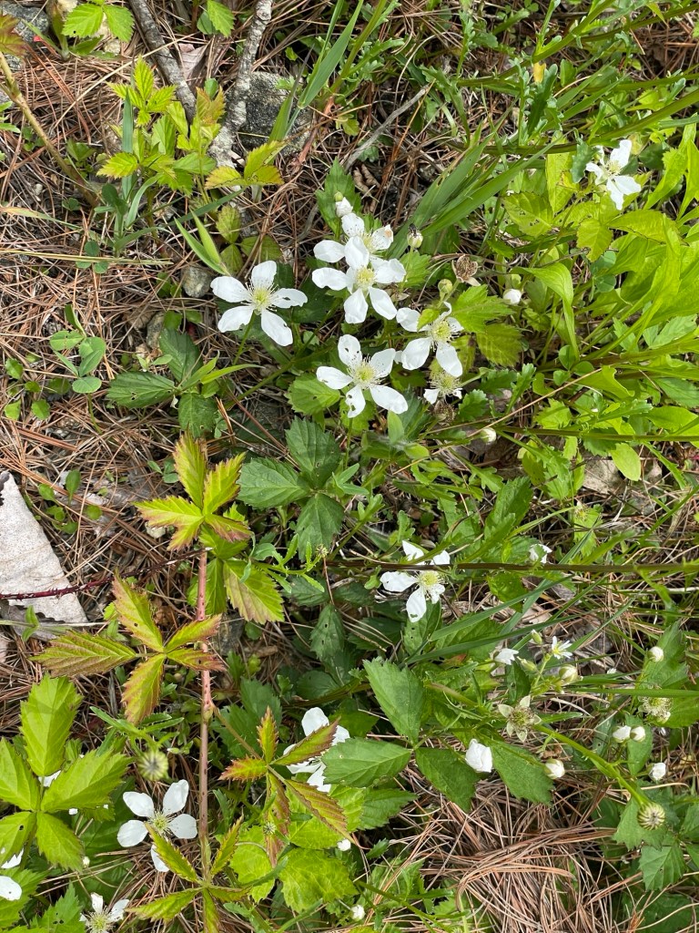
    There was, obviously, much bird watching and flower stalking as well.

    We continued our education about Francis Marion (the Swamp Fox), a hero of the American Revolution, who lived and operated within the region. He’s widely regarded as the father of guerrilla warfare tactics and of using his local innate knowledge of the terrain to put an invading army on the wrong foot. On one cold night, we watched The Patriot, which was roughly based on his life. After the Revolution, Marion returned to his previously quiet life as a plantation owner. We saw his burial place, on his brother’s property, and learned that his former home is now sitting under Lake Marion, a reservoir on the Santee River, next to the Santee State Park campground. You’ll find a lot called Santee (the Santee tribe lived in this river valley) and a lot named after Francis Marion in the area.

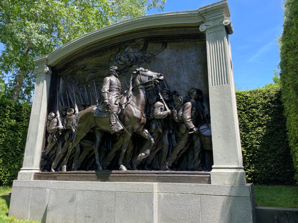
    (We also watched Glory again, since the McLeod Plantation — see previous depressing post — was home to the 55th Massachusetts (sister troop to the famous 54th MA) after the fall of Fort Wagner. The Freedman’s Bureau with its brief promise of support plus 40 acres and a mule to freed African Americans was run out of the McLeod plantation for a time. Ultimately, nearly all of that promised land was returned to the original plantation owners.)

    If you haven’t been to Congaree National Park, and you probably haven’t since it’s one of the least visited parks in the nation, you should. But maybe go in the dry winter season if you’re not from the South, mosquitos the size of trucks, and walking around in hip waders aren’t your thing. Congaree is home to the largest concentration of old growth bottomland hardwood forest remaining in the United States. 

    bottomland, noun

    bot·tom·land ˈbä-təm-ˌland 

    low-lying land along a watercourse — often used in plural — the fertile bottomlands

    Its “champion” trees (the tallest known of its kind in the world) are massive, gigantic, tremendous. Pick your superlative. You have to see them to believe them. My photos don’t begin to do them justice. They just don’t. Sorry. The area was barely saved from the handsaw by the difficulty of getting the trees out of the wetland during the initial clear cutting of America’s great forests and from the gasoline-powered saw by the concerted effort of a local reporter and sportsman who saw the true value of “that swamp” in the 1970s.

    Here are an additional few random photos from those last SC weeks.

    ***

    Update: Clean living has paid off. We’re going to be park hosts for the summer in New Hampshire. Dogs need to be on a leash. Pack out all your trash, please. Don’t forget, gates close at 7pm. See, we’re naturals.

  • History vs Hollywood

    We toured a lesser known plantation that was less flash and more pan, if you get my drift, and walked around the grounds of two others that were near our Buck Hall campsite. Since cost is a factor for us and these places are expensive to visit, we decided to visit one that puts their focus firmly on the labor versus the luxury of plantation life. The long lines of cars waiting to enter the more famous ones on the Ashley River assure me that they didn’t miss our patronage.

    Our excellent guide at McLeod Plantation Historic Site began his tour by pointing to one of the many large trees draped over the home’s long driveway.

    “That is a Live Oak. It’s called that because the leaves don’t fall off in the winter. The stuff hanging from it is called Spanish Moss; it is neither Spanish nor a moss. The green plant on the branches is called Resurrection Fern because it appears to die when it dries out, but when the air gets humid or it rains, the fern ‘comes back to life’ and gets green and lush again.”

    This seemed an odd start for a tour that focuses on the lives and experiences of the men and women that worked the land and took care of the house and the people within it. But this, and his slightly frustrated tone, made more sense as the tour went on.

    Standing on the long drive flanked by Live Oaks, you can’t miss the home’s tall columns, wide porch, and graceful upper balcony.

    We walked past the gin house, where a pair of cotton gins made specifically to handle the delicate, silk-like bolls of sea island cotton were operated, separating the seeds and casings from the precious strands. We looked at fingerprints fired into the building’s unglazed bricks and learned about the brick making process. It was harrowing to see three tiny fingerprints wrapped around the edge of a brick, knowing that such indentations could only have come from a three or four year old child put to work forming, molding, and turning heavy clay bricks.

    The stables

    We cruised past the stables and the storage barn. We learned that the four-seater “privy” (below, right) isn’t on any plats, plans, or records related to the house. It also, we learned, doesn’t have a pit or even any disturbed soil underneath it. In other words, it’s a fake. That seemed odd.

    Storage barn with ‘privy’ to the right

    Located on James Island, McLoed Plantation primarily grew and processed sea island cotton, the finest cotton grown in the South and some would argue, the world, as well as indigo and rice. Although by the 1920s the region’s cotton plantations had effectively been destroyed by boll weevil infestation, sea island cotton’s long, silk-like fibers were once highly prized and highly priced, but they grew at a high price too. This species’ bolls grew year-round, with multiple stages on the same plant, so it had to be tended and harvested year round.

    Being so delicate, the bolls had evolved sharp thorn-like ends that cut skin and drew blood easily. To maximize profit, planters placed rows about a two feet apart, with the plants growing inward on both sides toward the picker. Unfortunately, even a drop of blood on the fresh cotton permanently stained the snowy white fluff, so pickers were severely punished to ‘motivate’ them not to let any blood reach that absorbent treasure.

    Working from dawn to dusk in every kind of South Carolina weather, field pickers lasted approximately five years before dying of disease, exhaustion, abuse, or malnutrition. Numerous records list the deaths of enslaved people, most notably children, as Marasmus: a progressive emaciation caused by malnutrition.

    At this point in the tour, we’d learned a bit about the McLeod family, seen the handmade bricks, learned about all that went into literally building a plantation from scratch, and heard about the horror of growing one of the world’s most delicate and expensive crops. Our tour guide stopped to ask if there were any questions and someone immediately pointed across the yard and asked, “What’s that tree over there?”

    After a full beat he said, “It’s a Live Oak.”

    Here is someone talking to us about one of the most painful and important parts of United States history, and the first questions asked were about trees and flowers and if we got to see the inside of the house. I need you to understand the depth of resignation and disappointment that resounded in his reply.

    “Back” of the house

    Now here’s where that fake privy starts to make more sense. When this was a functioning plantation, the view above was the front of the house. It’s attractive enough, but this wasn’t a house for show. It was a prosperous working farm with all the usual farm activities and smells attached to it. Useful land was farmed or used for livestock, not made into sweeping drives filled with large trees and decorative borders.

    In the late 1920s, after the cotton crop across multiple states was obliterated by boll weevils and plantation owners had failed to maintain their profit margins growing other crops, many plantations were drowning in debt. Around the same time, the Lost Cause Theory took hold throughout the former Confederacy. To stem the tide of bankruptcy, former working plantations like McLeod refashioned themselves into mini palaces and emotional petting zoos. Ta da! Families could tour the grounds, relive the good old days, and actively misremember their own history. Enter Margaret Mitchell in 1936, Vivian Leigh in 1939, and the plantation tourism industry was launched into high gear on the jet-fuel of Gone with the Wind.

    After selling off the bulk of the plantation’s fields to pay his debts, William Wallace McLeod II, turned a bit of land into a regal driveway with a fancy gate and some arching trees. He then had a new antebellum façade attached to the back of the house — the one we see and take pictures of these days — and put a new ‘face’ on the family’s story.

    A few other things, like the four-seater privy, were added during that time too, to fluff out the Plantation’s story and give it some much needed humanity. Our guide called it the “Gone with the Wind’ingof slavery. Clean it up. Soften its edges. Make it benevolent, elegant, and righteous.

    I don’t know what has or hasn’t happened to the Hampton Plantation State Historic Site’s house, but I do wonder if a switch similar to the one at McLeod Plantation was made. Considering the fact that people in the 1800s primarily transported themselves and their goods on the excellent river system versus the terrible roads, it seems possible.

    Back at McLeod Plantation, an approximately 600 year old Live Oak found on maps and survey plats from before the house was built, stands next to the main house. A bell is suspended in the crotch of two main branches. The story told was that the bell was used to call field hands in to meals. The problem is that there is no record of a bell ever being in the tree or of workers being called in to meals — until the family started giving tours.

    There are, we heard, records of the fact that McLeod field hands took their daily rations into the fields with them, as no excuse was accepted for enslaved workers leaving the fields during work hours. They worked in the fields, gave birth in the fields, ate, drank, and relieved themselves in the fields, and often died in the fields.

    This old Live Oak at Hampton Plantation State Historic Site also has a bell, but a plaque describes its use as psychological terror. It maintained fear and compliance in the enslaved population because if a worker didn’t promptly gather beneath the tree when it was rung, day or night, they were severely punished.

    After the Civil War, formerly enslaved share croppers lived decidedly difficult lives, often working the same fields for the same people, with the important difference of it usually being based on the task system. A set amount of labor was to be performed each day, but when they finished it, they were finished for the day.

    Hampton Plantation’s split kitchen & laundry building. McLeod has a similar set up near, but detached from, the main house to reduce the risk of fires (they often burned down) and to help keep the main house cool in summers.

    Below is a one of nearly 30 huts that lined both sides of a path near the house. From inside the comfort of the house, McLeod and his family kept a watchful eye on everything and everyone. The well in the foreground was the only source of water for the huts, each of which would have housed 8-10 people at a time.

    These huts and this well were in use by the farm’s share croppers until the 1970s, and by rental tenants until McLeod died. An outhouse was still in use by the inhabitants, as well. When this well broke down, McLeod refused to let his tenants use his home’s water supply. A nearby bank allowed the residents to use its outdoor spigot.

    When the final owner, William Wallace McLeod III, died in 1990 without an heir, he left the property to a local nonprofit organization, to be saved in perpetuity as a museum. His tenants were allowed 48 hrs to find new homes.